It is really all about the weather. A good crossing weather window looks like this – winds below 15 knots, from the south or southeast/southwest and definitely not the north, with seas that are no more than 5-6 feet, preferably 4 or less feet. We had been watching and listening to the weather forecasts and determined that Saturday, March 1st through Tuesday, March 4th looked like a good stretch. After Wednesday, SailFlow forecasted very strong winds from the north. If we were to miss this window, we might have to wait a week or more for another, or so they say. Naturally, with the typical accuracy of weather forecasts, those strong winds have not developed. Alas, we could have stayed in Hope Town for a few days longer. Hindsight is just that – hindsight. Better to err on the safe side rather than take a chance and have conditions turn to the nasty side.
The first leg of the return trip was a 7-8 hour day, covering 44 nautical miles from Hope Town to Crab Cay, a little spit just off of the northwest tip of Great Abaco Island. We skipped Green Turtle Cay, lovely as it is, so that we could make a little more distance towards Great Sale Cay. Whale Cay Passage was “a doable bouncy 4 on the scale, ” as they say during the passage reports on the Cruisers Net. We sailed for about 3 hours, and then motored sailed the rest of the way.
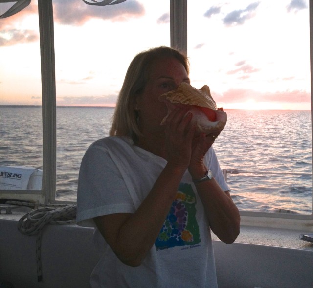
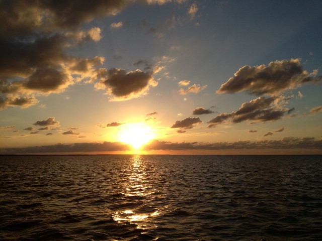
Crab Cay was nearly isolated (there was one sailboat anchored in the distance) and the sun was still high enough in the sky to keep things warm. The clear blue water called us to jump in one more time! We did. At sunset, I blew my conch horn. I am improving – really, Dan, I am! We sat in the cockpit listening to music and tried not to dwell on how much we already missed Hope Town and our friends.
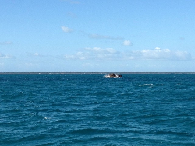
The second leg to Great Sale Cay was a more tedious day, although shorter, 35 nautical miles, 5.5 hours. Great Sale Cay is the “staging spot” for most of us who cross between Florida and the Abacos, although some folks go to West End. There is nothing on Great Sale, it is just an island with scrubby brush and mangroves, but this time we could actually see it because it was daytime, unlike our first crossing in December.

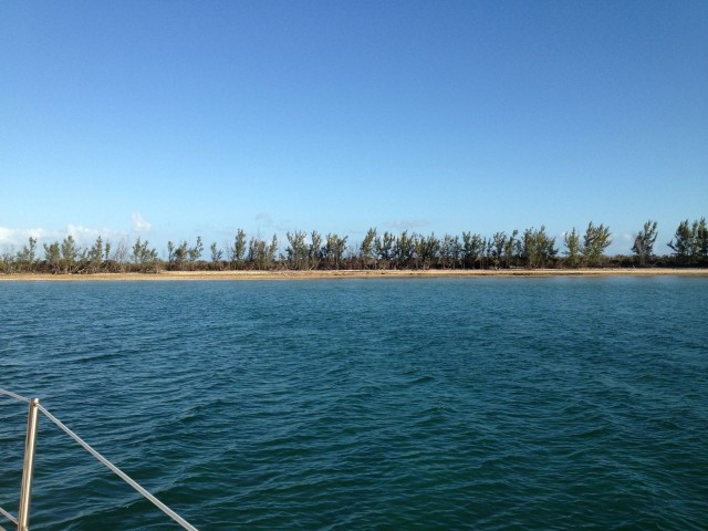
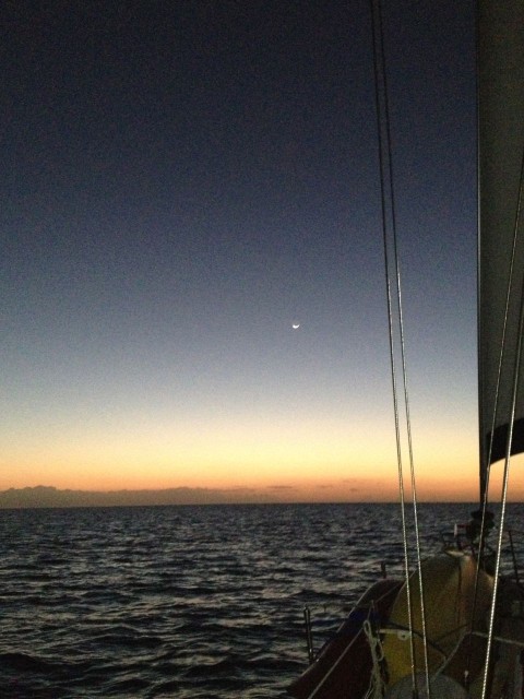
We had planned to hang there at Great Sale Cay and relax, while preparing for the longest leg, the actual crossing part. Our first plan was to leave at midnight, which we then revised to 10 pm. But the more we looked at the miles and times, combined with our possible speed (6 knot average is all goes well), the more we reconsidered. We did not want to arrive at the Fort Pierce Inlet after dark. So, after dinner, Al suggested we just leave right then before the sun sets, take our time and make some progress under sail. We pulled up the anchor at 6:30 pm and headed out onto the Little Bahama Banks, leisurely sailing for 6 hours at 3-4 knots. It was quiet and beautiful, very dark. The new moon was only visible for a brief period before it sunk below the horizon. We felt as though we were the only people in the world.
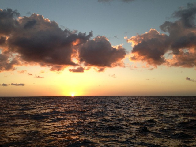
By 11:30 pm, we needed assistance from the engine and and began motorsailing. At 5:30 am we passed north of Memory Rock, leaving the Bahamas behind us just before the sun began to light the sky in the east.
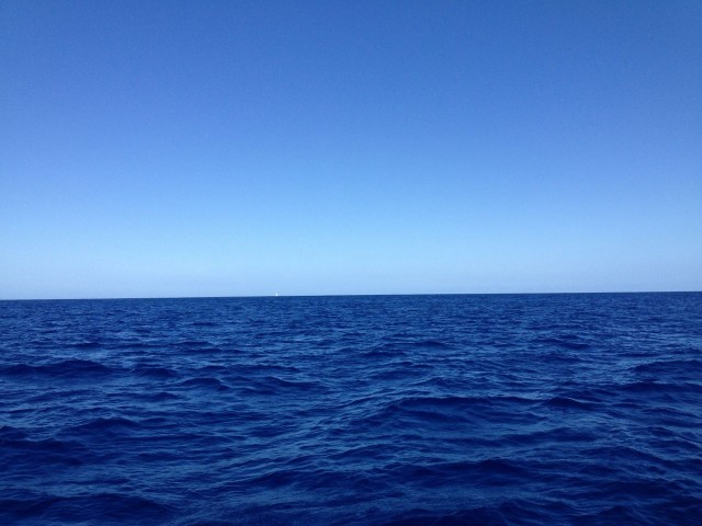
Once again, it seemed amazing that we could so quickly move from 15 feet of water below us to depths of over 2000 feet of water. The deep sapphire color of this water was as beautiful this time as it was on our crossing in December. The crossing itself went well, although there were rolling swells that gently lifted Kindred Spirit up and down.
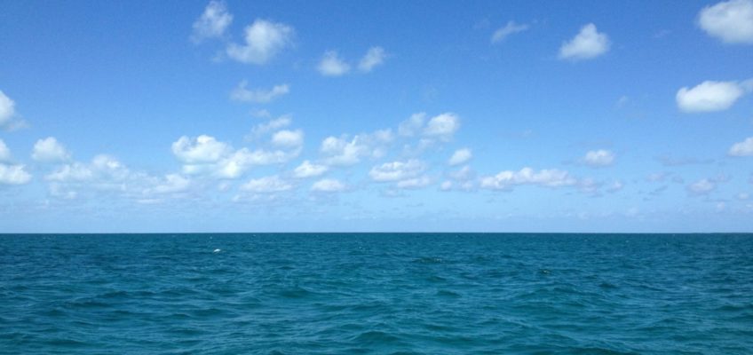
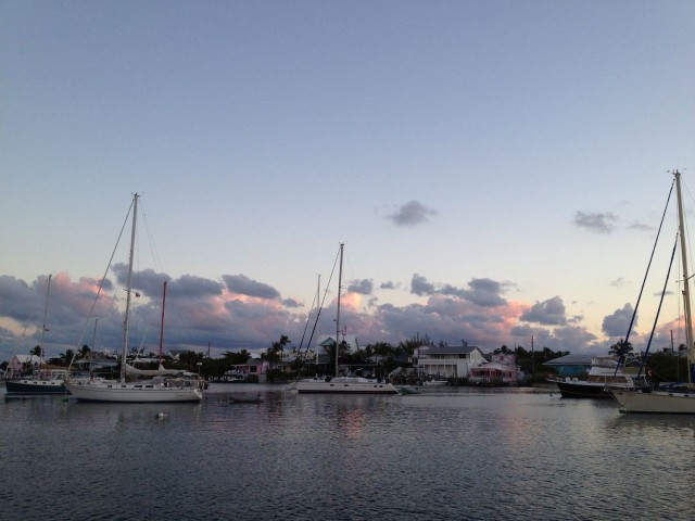
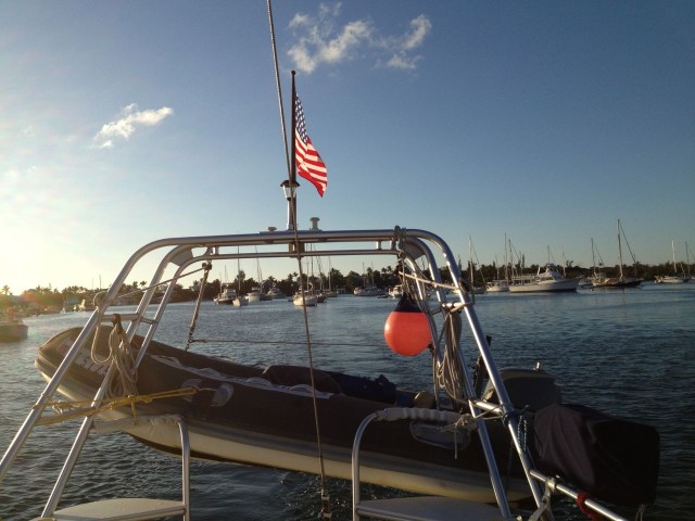
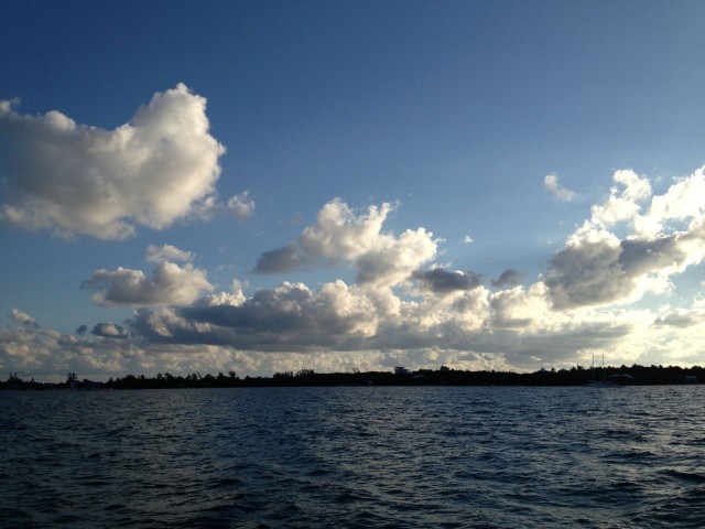
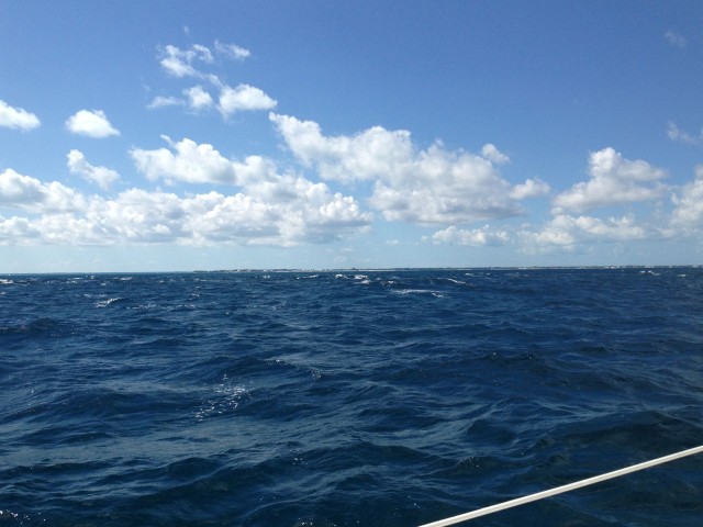
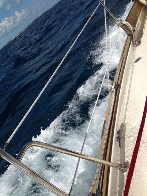
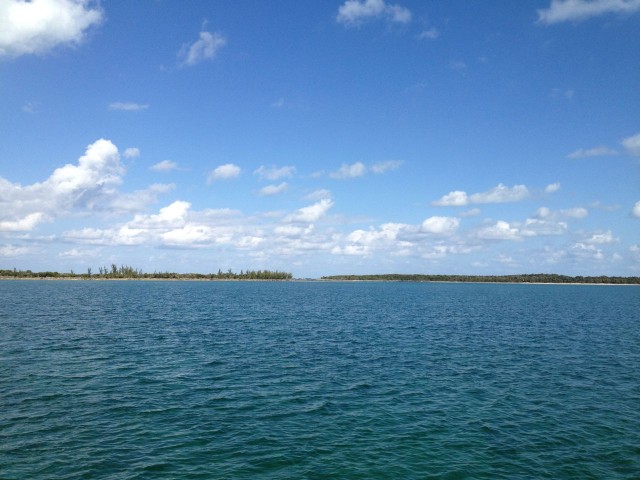
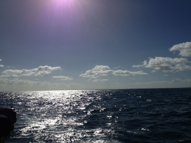
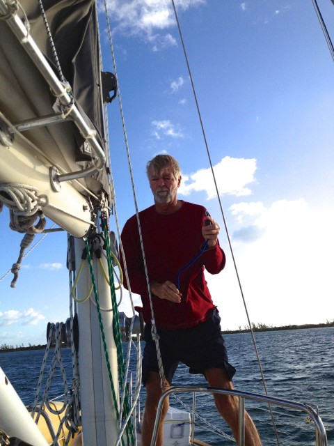
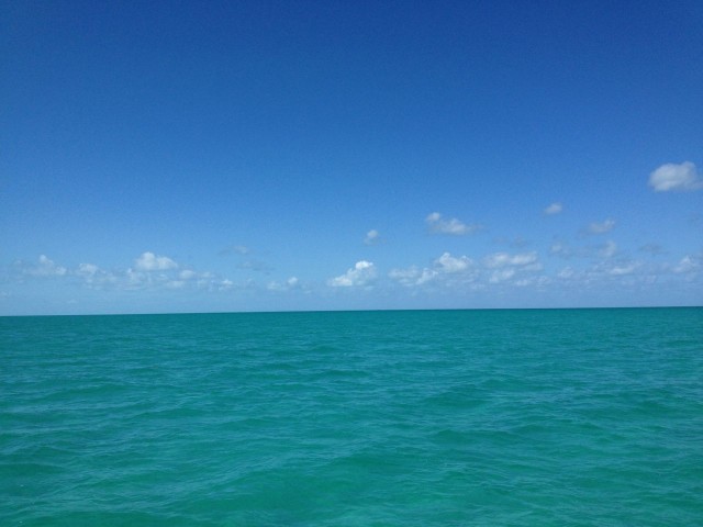
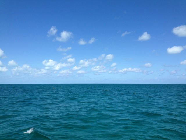
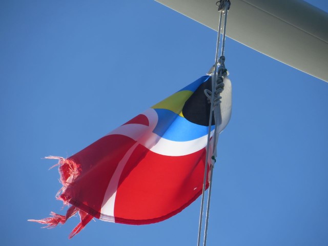
As I looked over the photos from the 3 days of returning trip, (which, by the way, were all on my iPhone because my 2nd Canon camera died a month ago. Argghhhh!) I noticed the ones where the sky and water meet, but with different hues. We never tired of looking at the horizon and the sky with nothing else in view.
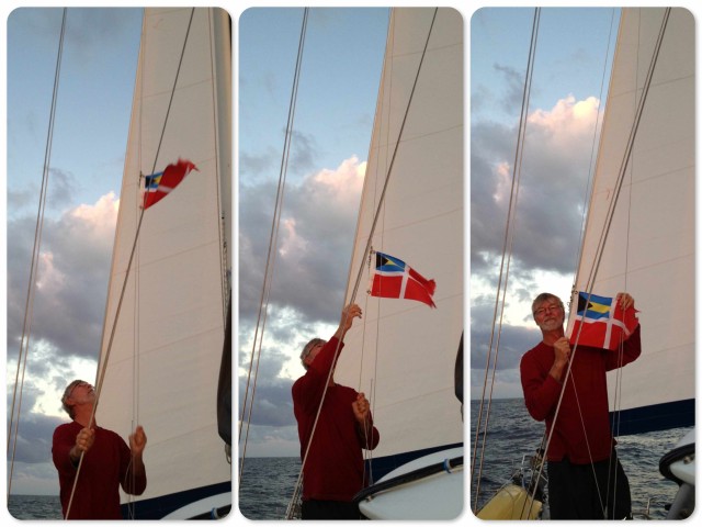
Entering Fort Pierce Inlet was the most challenging part of the crossing. Although we checked the tides before we left, we reached the inlet during an outgoing current that created quite a washing machine effect. Al was quite proud of me that I never even flinched once this time during the entire passage through the channel. I finally learned to trust the boat, the captain, and not to worry. About time, isn’t it?
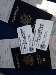
We anchored south of Causeway Island at Fort Pierce around 4:30 pm and made our phone call to clear customs. We highly recommend using the “local boaters option;” it is well worth the time it takes for the interview and trip to a customs office before leaving the US. One phone call and we were all set, as opposed to getting ourselves to land and then finding a taxi to an airport to clear customs. Who wants to go through that after an overnight passage?
This was our first real overnight passage, 22 hours, which felt quite long to me. We didn’t really do official “watches,” just took turns and napped. I think we were both too excited to really sleep for long stretches, more like just an hour at a time. Consequently, we were quite tired by the time we anchored. We were able to stay up late enough to see the dolphins swim by and welcome us back to Florida. “Home” is still many miles and many days away for us.
Crossings – It’s All About the Weather, HaHa – Kindred Spirit
[…] Sooooo, how was this crossing?? Well, it was not fine. At least not my definition of “fine.” One recurring thought (among many) during the 16 hour passage, was that I wouldn’t even bother to write about this. I’d rather remember the first crossing or the second one. (The Crossing and Crossing Back) […]
Bob Horan
I’m looking forward to hearing about your adventure and whether it met your expectations. Thank you for all your posting and pictures, they were great.
I bet you anchored right next to our condo next to the causeway at Fort Pierce Inlet, the ones with the Orange roofs, named Harbour Isle
Bob Horan
francis.falcigno@snet.net
Glad to read your return trip to Fla was picturesque. I ditto Collen Murphys reply of snow on the ground. I look out my front window and see 5 feet of plowed snow frozen solid. Pics made me feel better. We are getting a break today 3/8. Temps to rise to 45. 1st day to rise above 32 in about a week. Guess the groundhog was right. 6 more weeks of winter. Can’t stand it. Glad you are enjoying the adventure.
Colleen Murphy
I am crying with you!! It has to be difficult to leave such a wonderful environment – especially when I still see half a foot of snow outside my window. We do expect a conch horn concert upon your return. lol