Like all cruisers we had been watching the weather and looking for a good window to make the crossing to the Bahamas. I re-read my old blog post about “Watching for a Weather Window, (WWW) and recalled how we had waited in Lake Worth for the best crossing day back in 2013. We decided that we really didn’t want to wait there again (not our favorite spot), so we stayed in Vero until we could see an upcoming window on Wednesday/Thursday of the week following Thanksgiving.
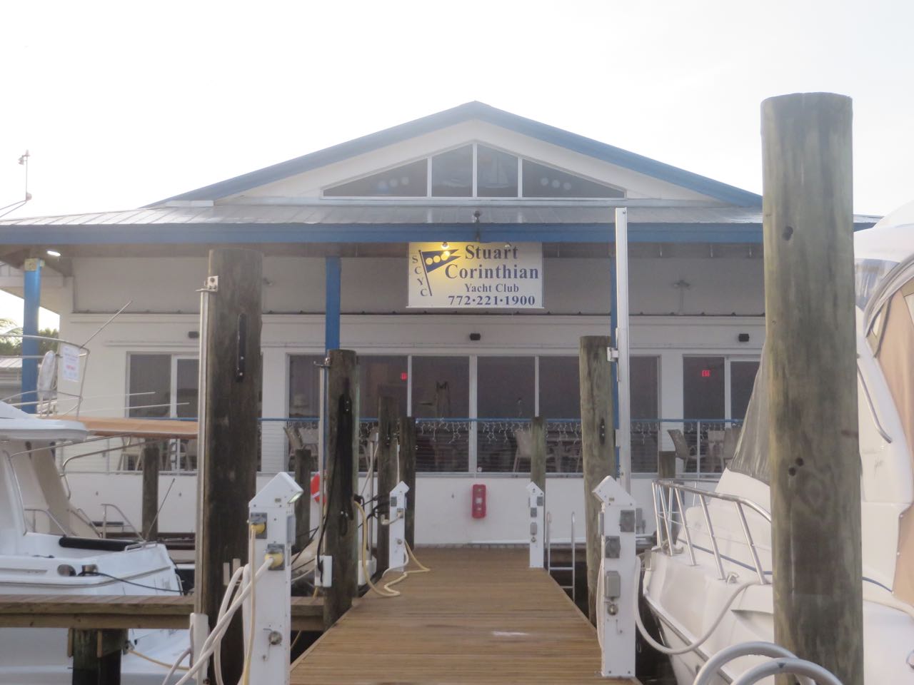
We left Vero Beach on Monday, stayed overnight in Fort Pierce, and then headed down to Stuart on Tuesday. In Stuart, we had lunch with Bill and Barbara, Al’s brother and sister-in-law, and spent the night at the Stuart Corinthian Yacht Club.
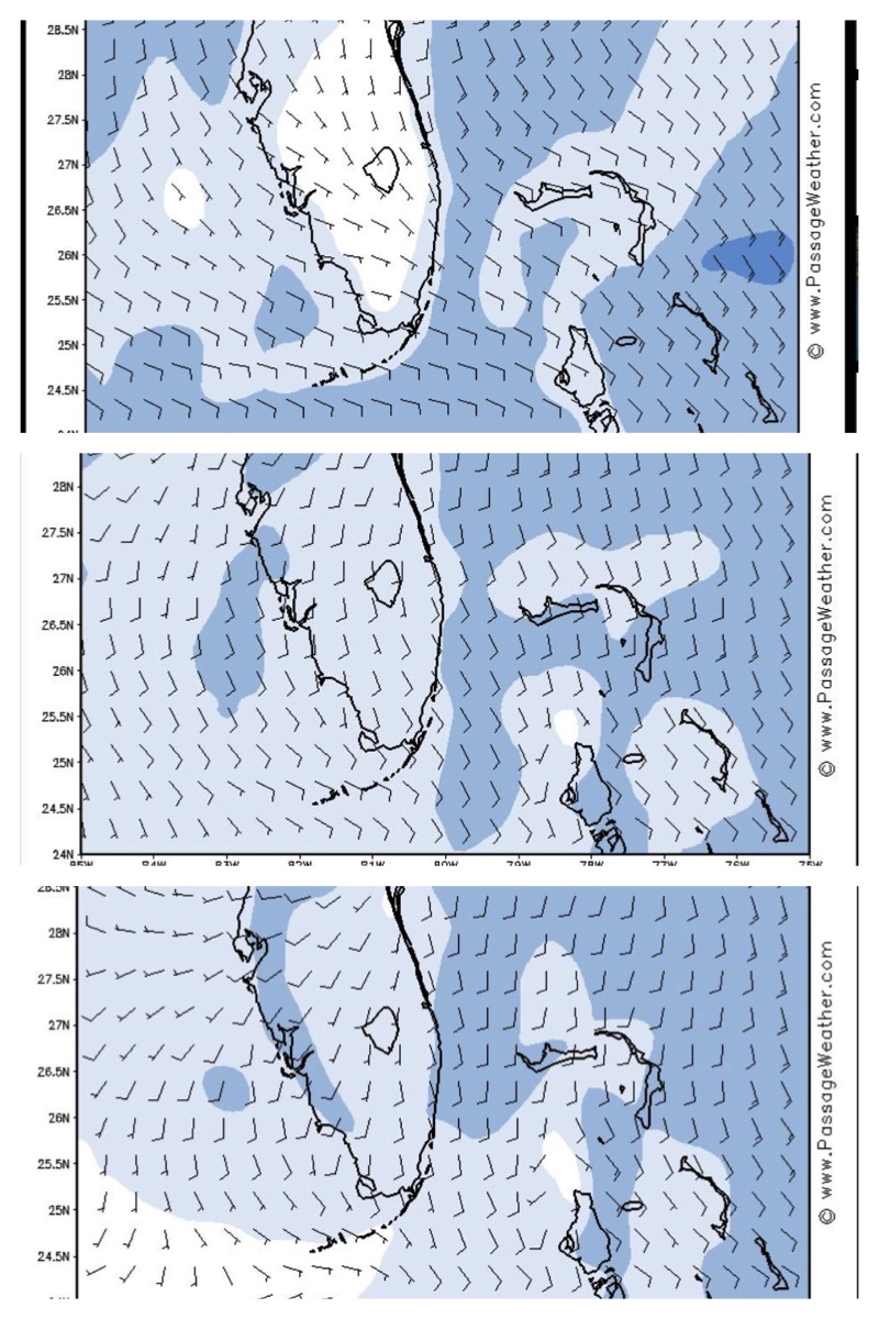
All of the weather apps looked promising for a crossing on Wednesday, December 2nd. Even the revered Chris Parker, weather guru, said that Wednesday would be fine. We were as ready as we could be, and we were not alone in choosing this day for a crossing of the Gulf Stream. There have not been very many good weather windows for crossing in the past month, so perhaps we were all a bit anxious to take advantage of this one.


From my 2013 blog post —

“The Gulf Stream is one of nature’s most formidable forces. This “stream” of warm water runs northward along the American coast traveling from two knots up to four knots with a mean of 2.5 knots. It is actually part of a larger ocean-wide system that flows from southern Florida up the eastern seaboard to the Arctic, over to England, and finally back down to Africa, along the equator, up the coast of South America, past the Caribbean Islands and into the Gulf of Mexico, and then back up the coast again – a big clockwise current of water in the ocean. Here, in Florida, the Gulf Stream rushes through a deep narrow strait about 25 miles wide between Florida and the Bahamas. A successful (meaning not scary and frightening) passage should only be attempted when the winds are south/southeast, less than 15 knots, with seas less than 2-4 feet. Any wind out of the north will cause the seas to build in the northward flowing Gulf Stream, resulting in a very rough ride.”
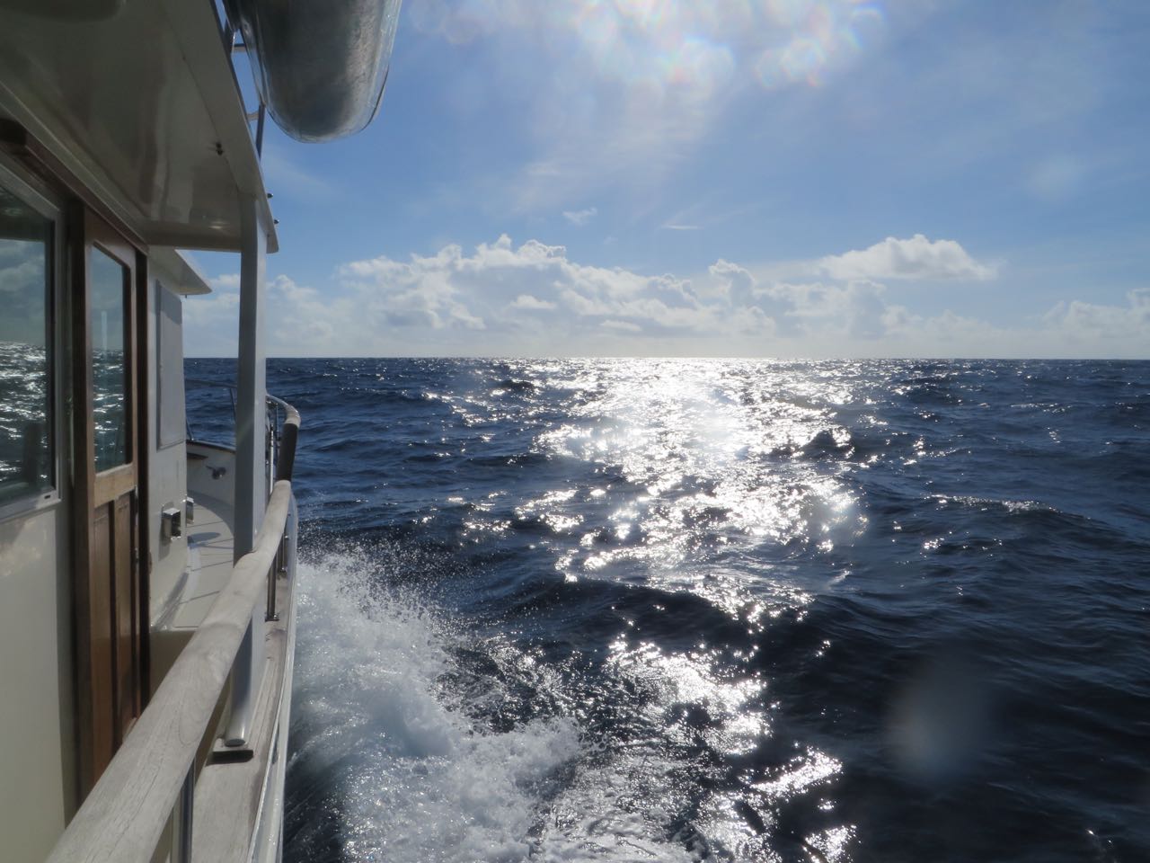
Sooooo, how was this crossing?? Well, it was not fine. At least not my definition of “fine.” One recurring thought (among many) during the 16 hour passage, was that I wouldn’t even bother to write about this. I’d rather remember the first crossing or the second one. (The Crossing and Crossing Back)
The seas were lumpy and bouncy. Instead of less than 15 knots of wind (that’s how I interpret the graph when it says 10-15 knots), they were more like 15 – 20. The waves were not less than 2 feet, but were more like 4-plus feet. That may not sound significantly different in the big scheme of things, but let me tell you, it feels very different! I rarely (meaning only once in my life) feel seasick, and I was queasy for hours this time. I resorted to drinking ginger tea and even took a meclizine pill (motion sickness pill). Occasionally, I took some photos, but when I look at them now, it just doesn’t look like what we experienced. On the other hand, I never once felt frightened or afraid, just plain old uncomfortable and nauseous. That’s bad enough.


For those of you who prefer a little “action”, you can take a look at this 14 second video that I thought might capture the feeling a bit more than still shots. This was 14 seconds out of 57,600 seconds of crossing from Florida to Great Sale Cay, Bahamas. Click on this link — Crossing the Gulf Stream

We had hoped that the seas would be calmer once we crossed the Gulf Stream and reached the Little Bahama Bank where the water rapidly decreases from 2,000 feet to 30 feet. Not much calmer. 🙁

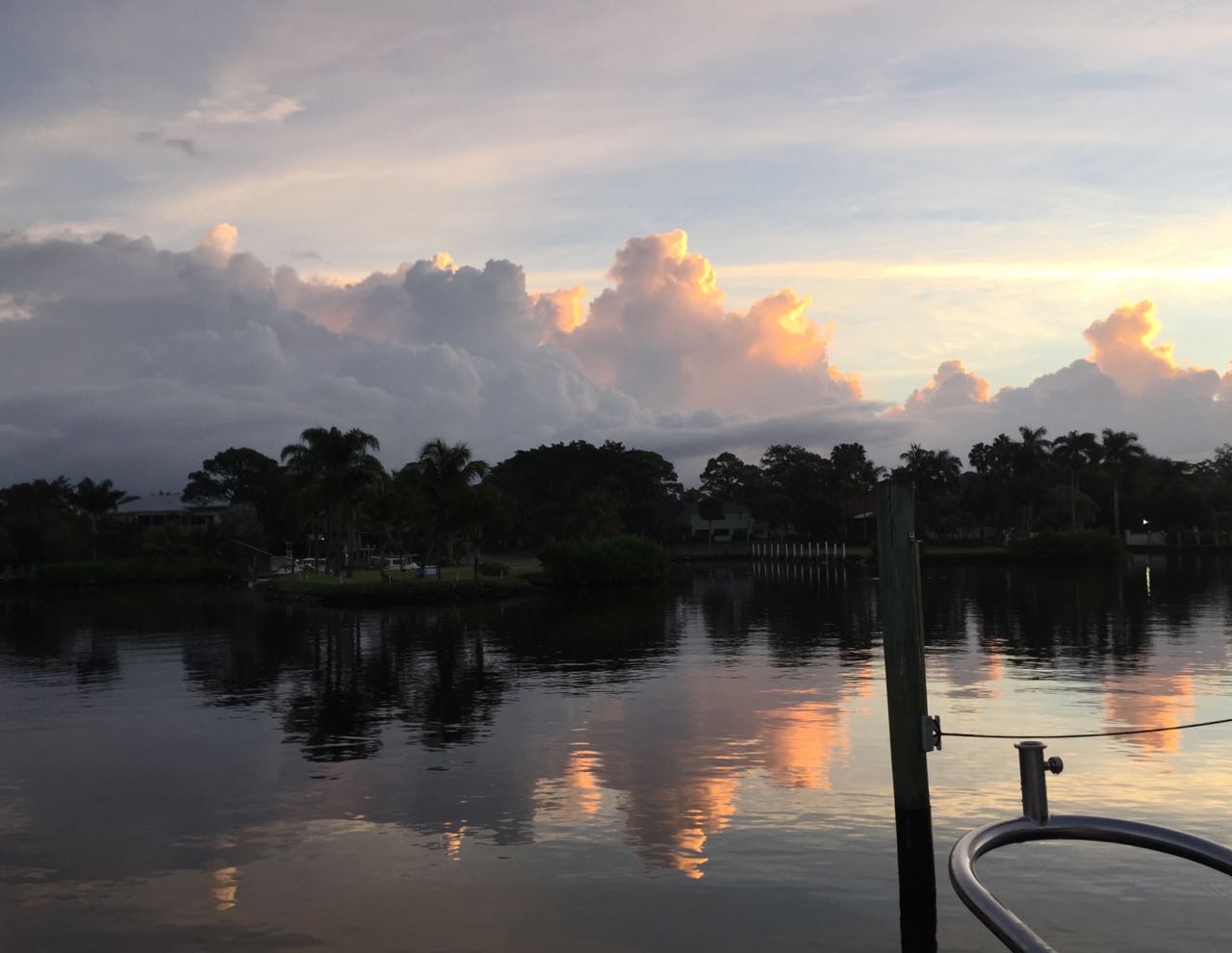
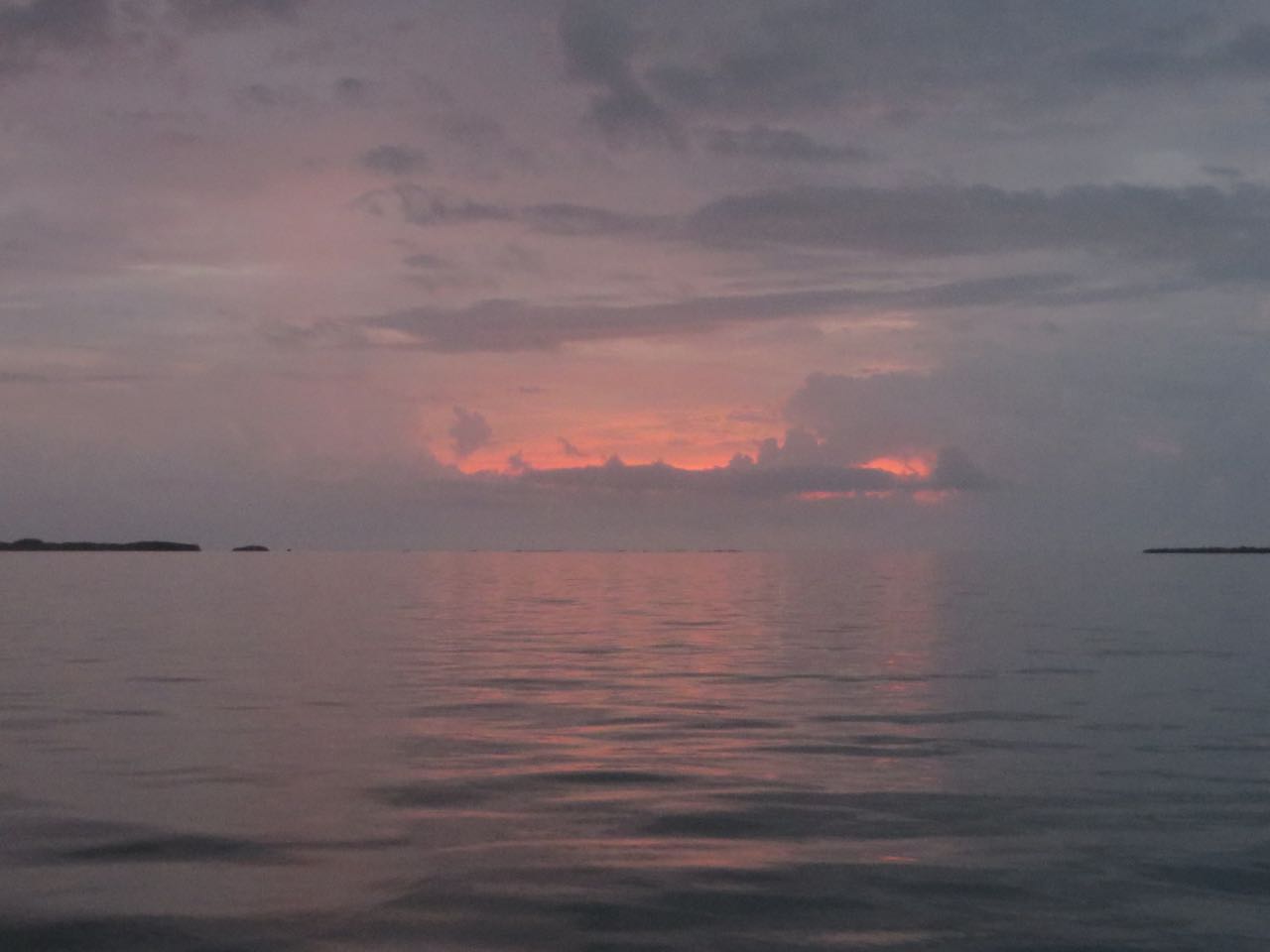
After 16 hours and 40 minutes and 110 nautical miles, we anchored off of Great Sale Cay on the Little Bahama Bank just before midnight. By then, the wind and seas were calming down significantly, but the air was still seriously humid, with some lightening shows in the distance.

Eager to get going again, we pulled up anchor and left Great Sale Cay at 6:30 am.


The conditions were far better today on our second day of this crossing from Florida into the Bahamas, but the weather was hot and humid, with some rain and some sun.

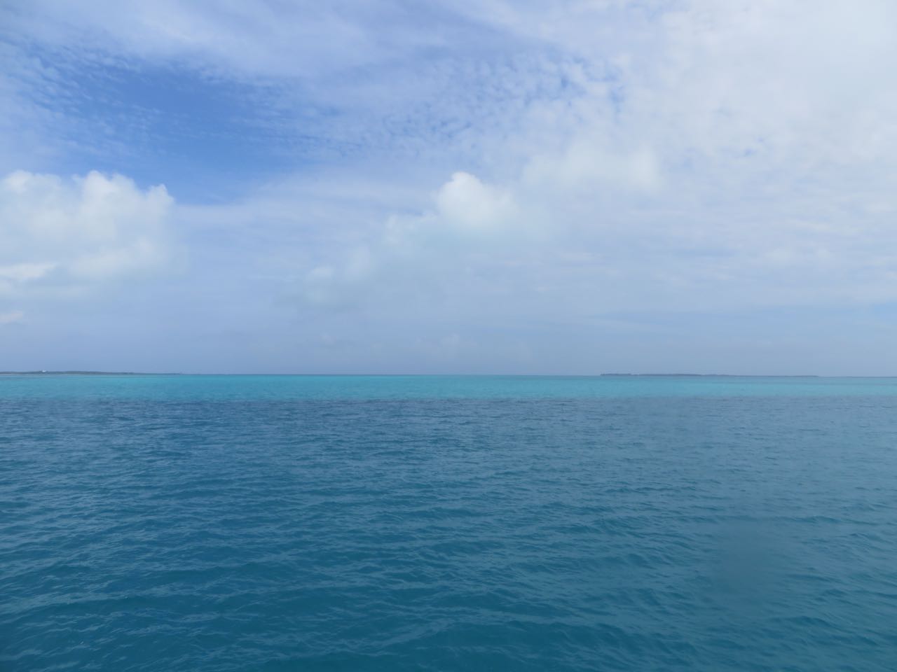
The best part, the very best part, of these two days was finally reaching water that is clear and shades of beautiful blues and greens.


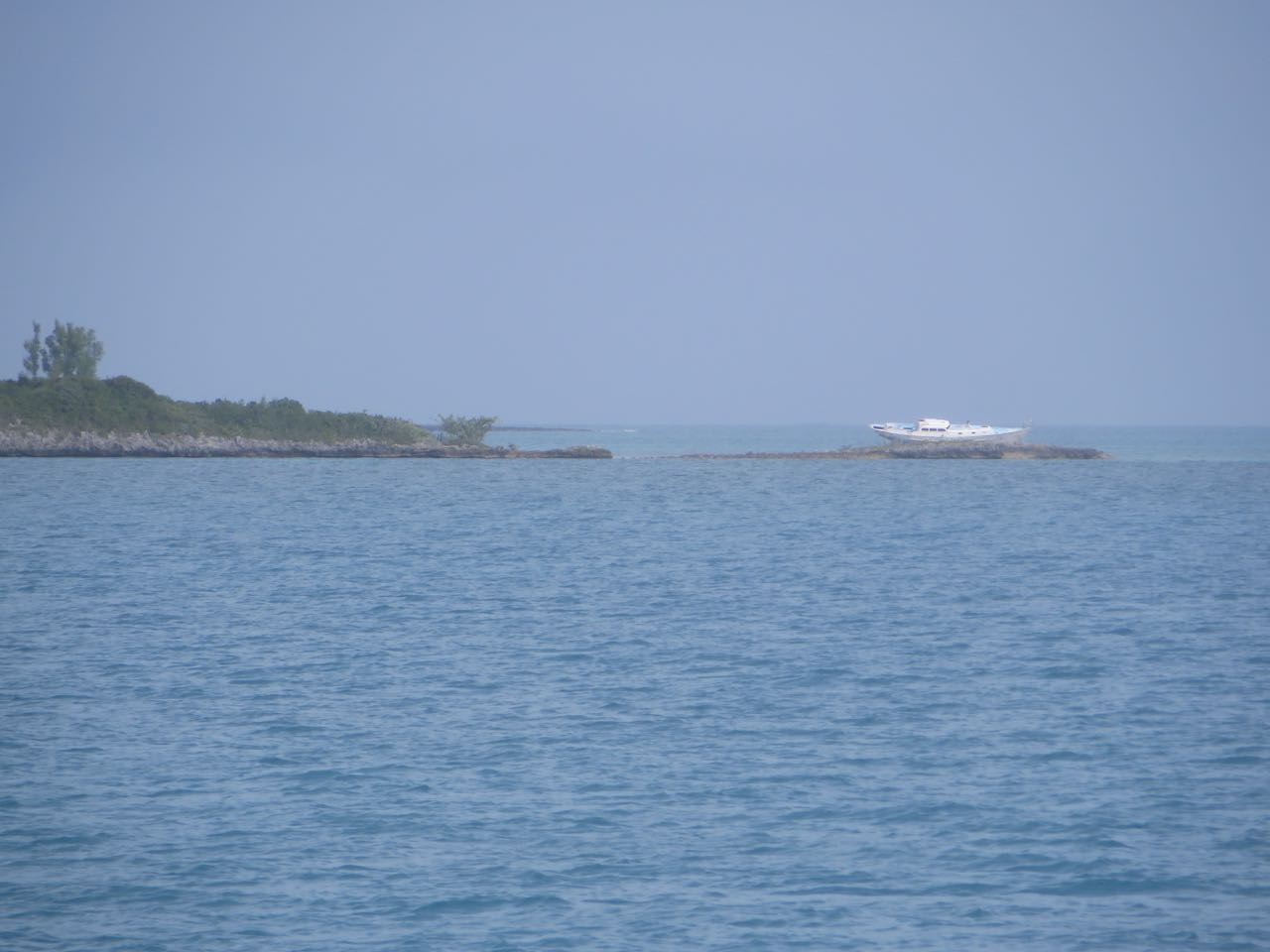
Seven hours after leaving Great Sale Cay, we approached Green Turtle Cay, our destination for now. We anchored just out from the New Plymouth harbor so that we could clear customs.


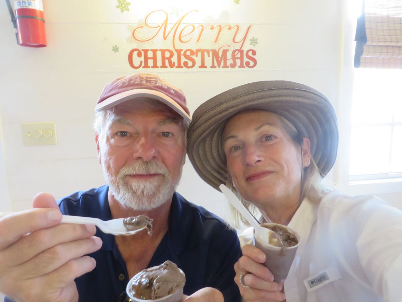

We are so fortunate to have our friends, Sam and Kayda, waiting for us in Green Turtle and ready to welcome us here to the Bahamas. While they are prepping their boat, Solstice, for her launch, they took care of us — hot showers, good dinner, and air conditioning in the house they are staying in. Ahhhhh, relief.


WE ARE IN THE BAHAMAS ! ! ! ! ! ! ! ! ! ! !
We did it, we made it across. A bouncy crossing, but we are here now. What lesson did I learn?? You can’t always trust the weather forecast, so whatever “they” say, increase the wave height and the winds. Does that mean we only cross when the winds are 0-5 and the waves are 5 inches or less????
Steve
Michele and Al,
Really enjoy your blog and I’m glad you made it safe and sound.
Your crossing reminds me of our crossings from San Carlos, on the mainland of Mexico, to the Baja peninsula across the Sea of Cortez. The route is typically only about 70-80 nm, 10-12 hours in our 38′ trawler, and usually we leave at night to take advantage of the calmest conditions, but you know how it goes, you get out there in the middle and things change. Do we keep going or go back?! Typically the wind or waves come from the N or NW, down the length of the Cortez, and our track is SW, so it’s beam seas most of the way. Ah, but it’s all part of the adventure!
Buen viaje
Peggy Bjarno
We’ve learned to pretty much double predictions for wave heights in the Chesapkeake Bay. Strange how those 1-2 foot waves grow to 2-4 footers! Glad you’re there safe.