I swear I’m going to finish the posts about the summer vacation trip. Before the first snowfall???
It’s a full day of 8 hours from Cuttyhunk to Montauk so we planned an early departure – 5:15 am. The best part of getting up early is watching the sunrise unfold. I’m not even going to apologize for sunrise and sunset photos. It never gets old when you are out on the water. There’s something reassuring about the sun rising and setting, every day, no matter what.


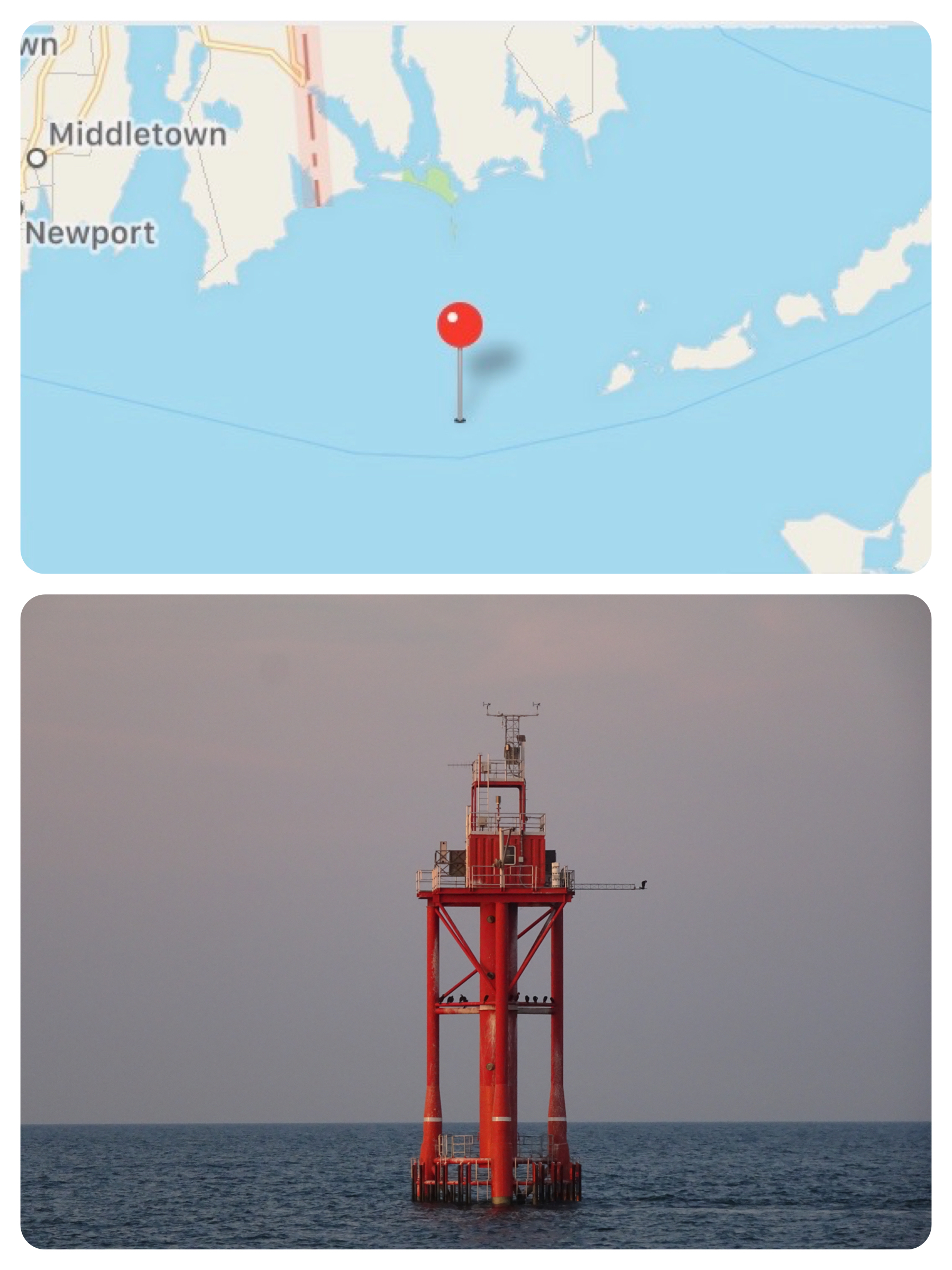
At the end of Buzzards Bay, just past Cuttyhunk, we passed a weather station. Pretty cool. We all live and breathe by weather forecasts and updates in these modern times, and that data has to come from somewhere.
We discussed taking the southern route below Block Island so that we could see the wind farm from the water as well as up close and personal. We’ve been “watching” that project since 2013 before the actual construction began. On our recent trips to Block Island, we could see the wind mills from the beach.
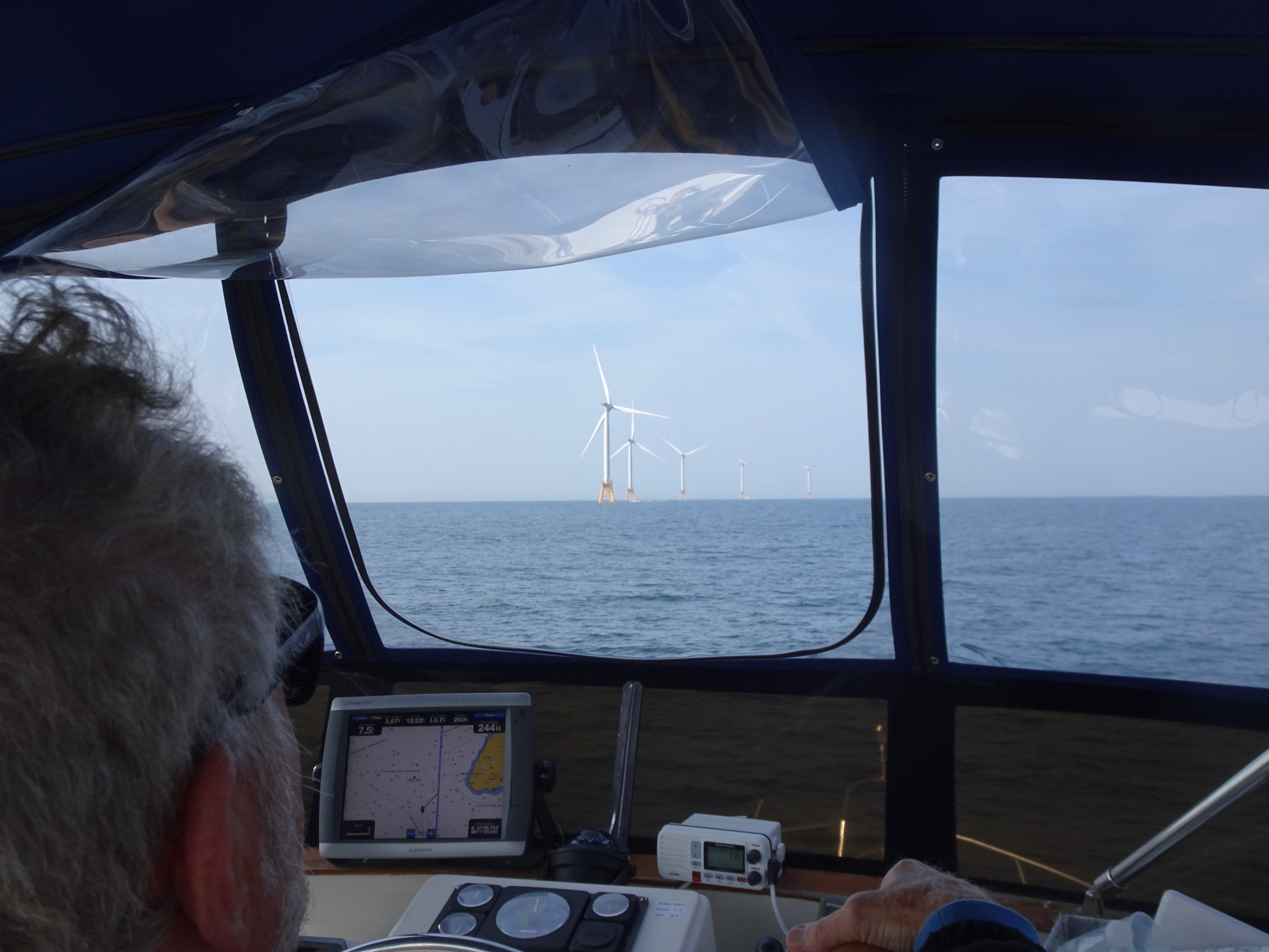
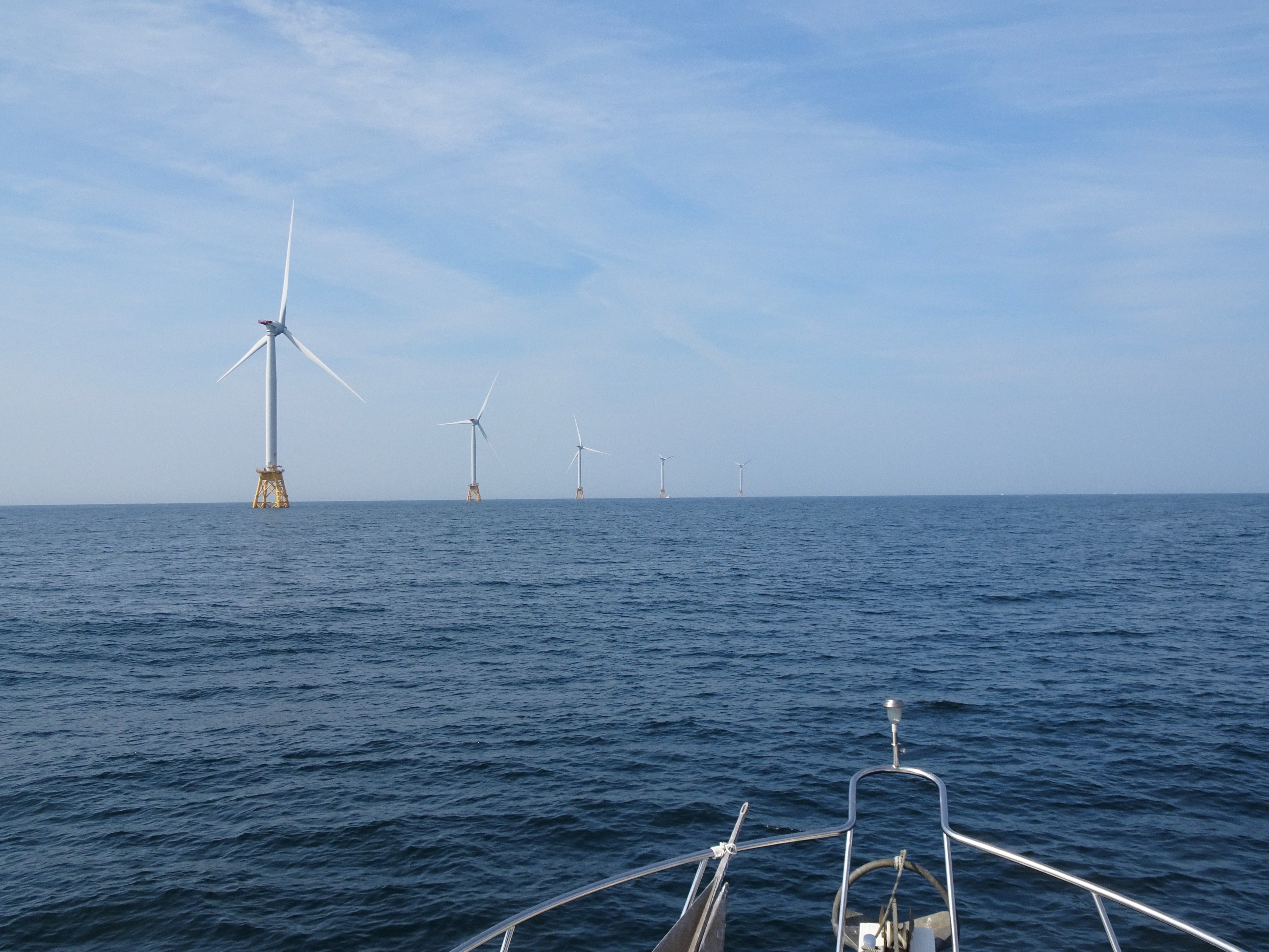

The “Block Island Wind Farm” is the first commercial offshore wind farm in the United States, located 3.8 miles from Block island. The five-turbine, 30 megawatt project (one mega watt = one million watts) was developed by Deepwater Wind at a cost of $290 million.Construction began in 2015, the five turbines were erected in late summer 2016, and it became operational in December 2016. Before the project, Block Island relied on a ferry to bring up to a million gallons of diesel fuel per year from the Rhode Island mainland to power the community. From now on, Block Island’s power will come from the wind farm, and power will also be sent back there for use on the mainland.
The Block Island Times, Sept, 2002 to present, has a crush mprehensive history of the project collected in this one link which “includes everything from state politics, economics, the environment, jobs, engineering, technology and — just as importantly — the emotions that people have on either side of the issue.”


When we could tear our eyes away from the wind mills, there was the coast of Block on our starboard side.
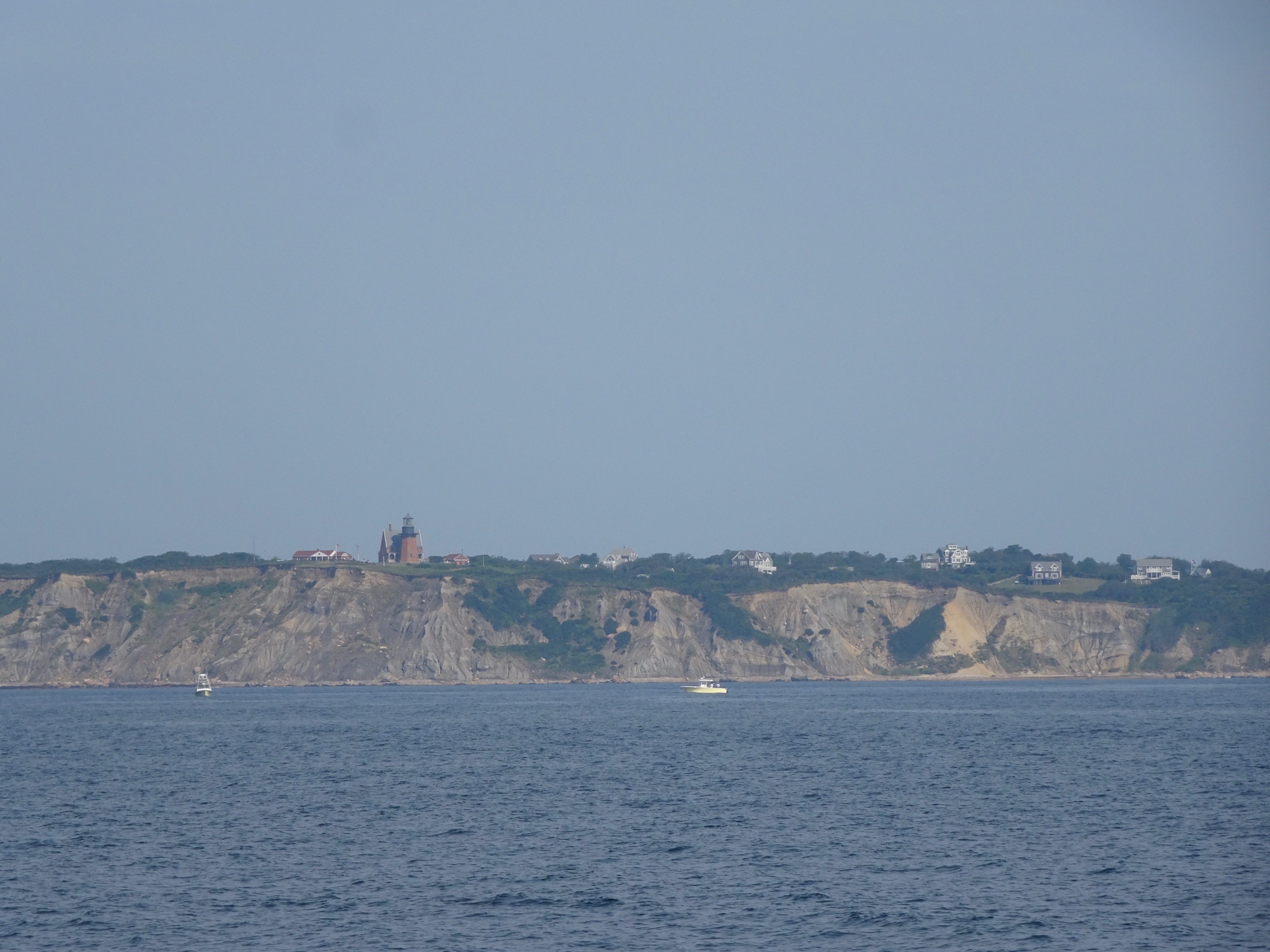

The next visible landmark was the Montauk Lighthouse, first line in 1797, renovated in 1860, and automated in 1987.


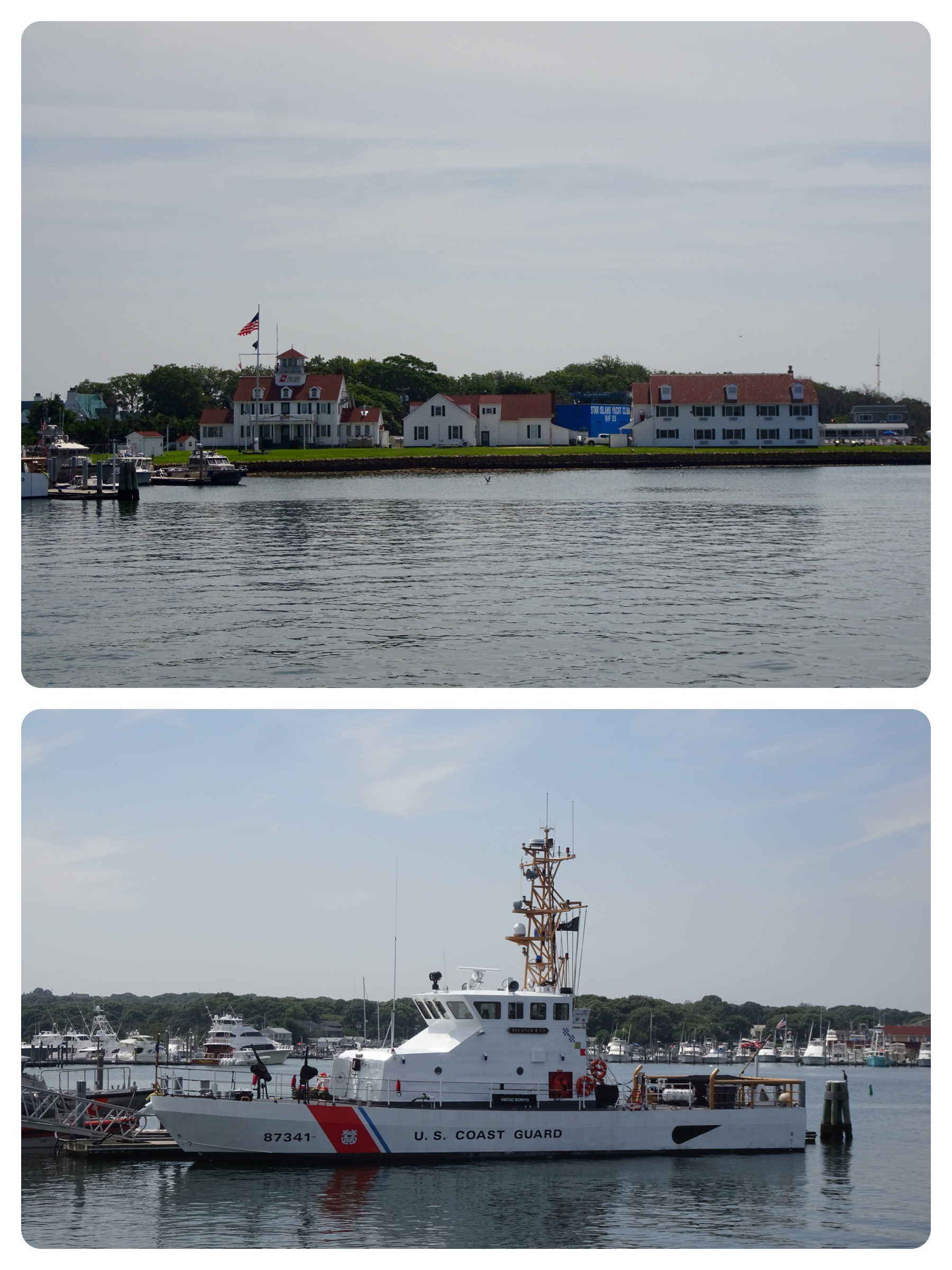
We like visiting Montauk, but we had a more important reason for coming here this summer. Our cruising friends from Annapolis, Frank and Mary Marie on Eleanor Q, were there. We had been in communication for the past 2 weeks hoping that our paths would cross. Yippee!

This is going to be fun.
Leave a Reply