Another sunny day activity in Edgartown is to dinghy from the harbor, through Katama Bay to Norton Point Beach. Katama Bay is quite large. We remember the days when you could anchor in the bay, but not anymore. Norton Point Beach is a barrier beach that extends almost two and a half miles between the south shore of the Vineyard near Katama and the south shore of Chappaquiddick at Wasque), dividing Katama Bay from the Atlantic.

In April of 2007, a powerful storm on Patriots’ Day caused a break near the center of Norton Point Beach separating Chappaquiddick from the Vineyard. Al was fascinated by this breach and spent hours studying it over the next few years. After that 2007 storm, the break, measuring nearly a quarter-mile across at its widest, migrated to the east towards Chappaquiddick. The break at Norton Beach affected all of Katama Bay as well as the inner harbor. We vividly recalled what the mooring field was like during those years when peak current ran at three knots right through the harbor, including the mooring field.


It took 8 years for the breach to close. On April 2, 2015, the breach, which had moved eastward to Wasque, completely closed, reattaching Chappaquiddick to the Vineyard. The photo timeline below can be better viewed online at the Harvard Forest Martha’s Vineyard Collection on the Digital Commonwealth’s site. It’s another reminder of how powerful Mother Nature can be. The breach has happened before and will happen again, supposedly once each generation.
Now, ten years after the 2007 opening, there are many articles, photographs, and videos about Norton Point. If interested, Tom Dunlop’s article MV Magazine, A Special Report: Norton Point Breach (May, 2011) is pretty good.
After a long search through old photos on our ancient desktop PC, I found one of our favorite pictures from the summer of 2008. We had dinghied out to Norton Point Beach and discovered a tiny little “island” in the middle of the breach, just inside the Katama Bay side. It was stable and firm enough to set up our umbrella and beach chairs. We felt like we were stranded, delightfully so, on our own island paradise for the afternoon. The next day we wanted to repeat the adventure and went back out. Much to our dismay, “our” little island had disappeared! Never to be seen again. The tide bringeth and the tide taketh away.

This 2017 trip was the first time we have visited Katama since the Norton Point Beach reconnected to Chappaquiddick. We packed the dinghy for a little beach time and set out on the long dinghy ride.

The more western side of the beach, also known as South Beach, is reached by road or transit bus. Martha’s Vineyard sells “over sand vehicle permits” for people to drive on the beach. The vehicle must be a four-wheel drive and the tire pressure is lowered to less than 15 psi on all tires. I realize that this makes “remote” beaches more accessible to the masses, but ………….. I’m not fond of this practice. At all.
I checked the cost to get a permit. Wow. I’m glad they charge that much.
Seasonal rate:

- $200 for Cape Poge/Wasque
- $90 Norton Point Beach – Island Vehicle
- $140 Norton Point Beach – Off-Island Vehicle
- $270 Combination Permit – Island Vehicle
- $320 Combination Permit – Off-Island Vehicle
- Day Passes: $30 Resident Day Pass or $60 Non-resident Day Pass
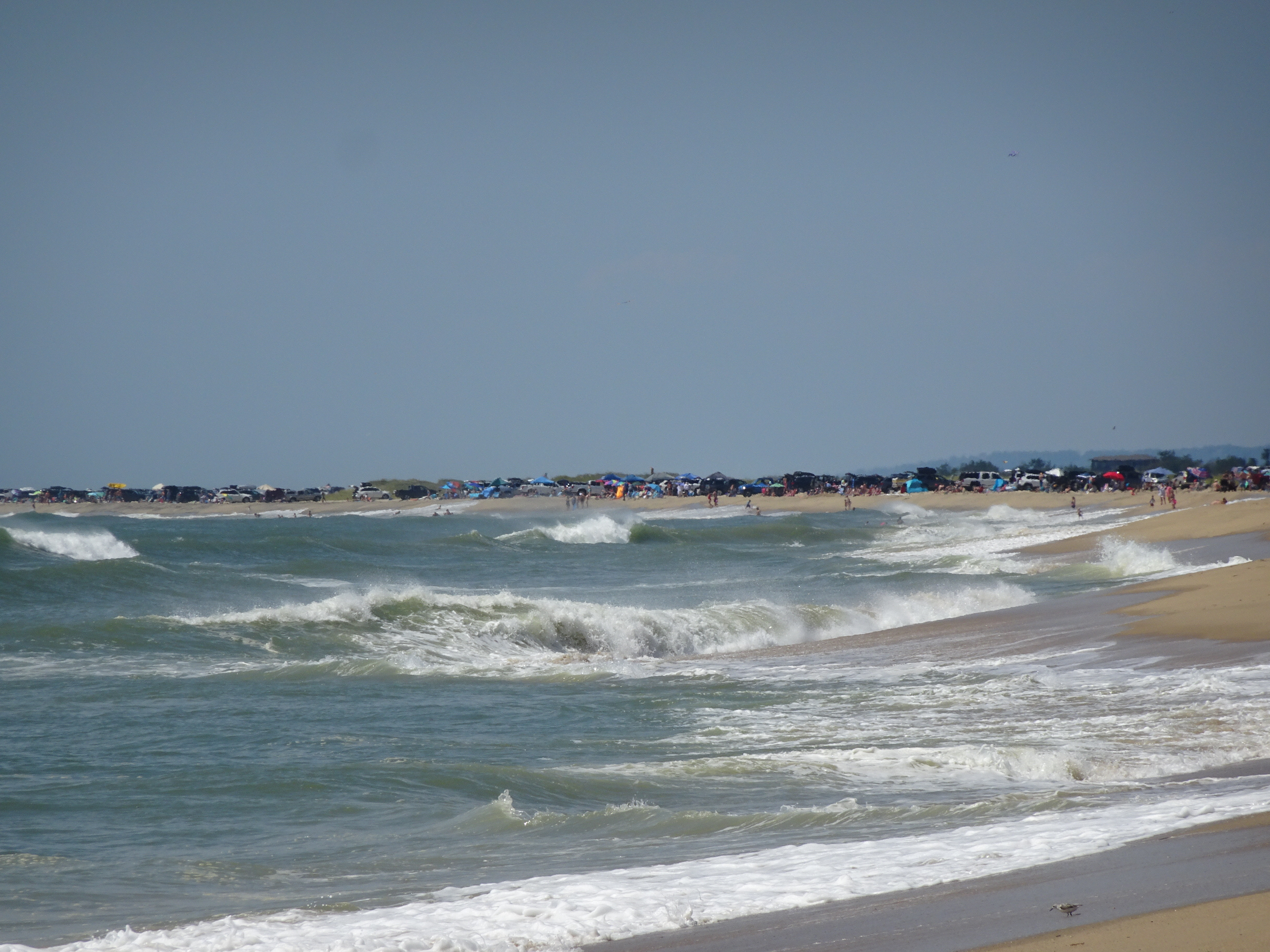
The beaches on the ocean side out here are steep and usually not safe for swimming due to riptides and strong currents.


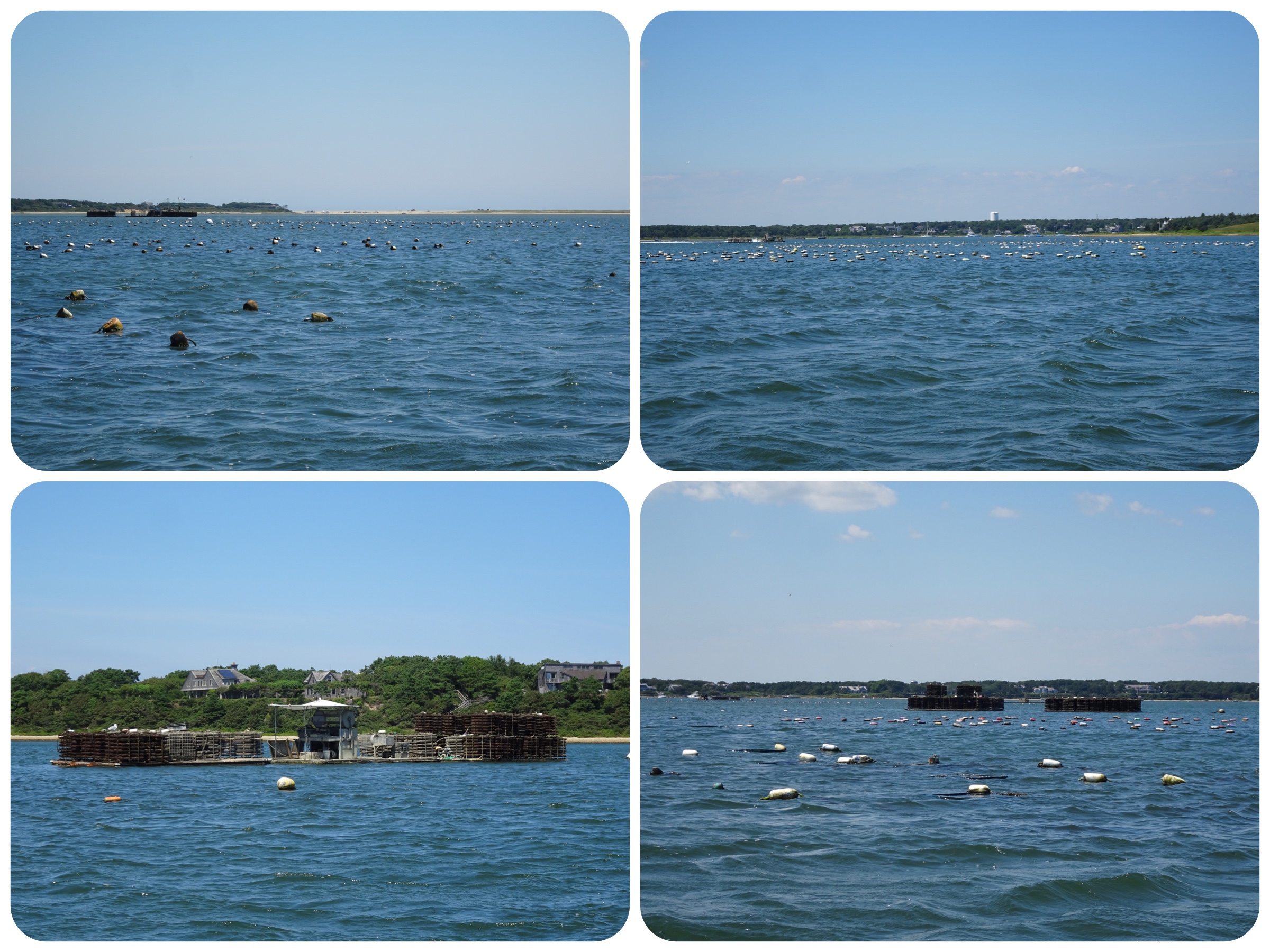
On our return trip to the boat, we detoured over to the oyster farming. One positive impact from that breach in 2007-2015 was better oyster farming due to the swift current through Katama Bay which brought fresh ocean water in and out.
It was another pleasant day out here, but nothing could ever compare to our 2008 visit to Norton Point Beach and our private island. 😉
Summer Cruising – Edgartown, MV – Kindred Spirit
[…] Wednesday, August 21 was a beautiful day for a ride out to Norton Point through Katama Bay. BEACH DAY!! It is always a special treat when we put this on our Edgartown itinerary. For more information about the Katana Bay/Norton Point breakthrough check out an older blog from 2017. […]
Brendan
Hello,
We are headed to Edgartown Moorings and would like to visit Norton Point Beach or the remote area of this beach by dingy as you did.
Did you take your Dingy through Katama Bay (was it deep enough) or did you Dingy out of the Harbor and around Chappaquiddick.
Thank you,
watsons
We have always dinghied through Katama Bay. There are some shallow sections, but we go slow and look ahead.