We really wanted to go offshore for a long run when we left Beaufort/Ladys Island and head straight to St. Mary’s Georgia. We heard and read that the ICW in Georgia has not been as well-maintained as the other states, leaving shoaled areas. In Georgia, the ICW meanders, twisting and turning back and forth, making the trip much longer and probably more tedious. But, Mother Nature had other plans and sent some high winds and seas for our departure day. Rather than sit and wait for a good weather window, we set out in the ICW. We made sure to plan our days around the tides so that we traveled the shallower sections on a higher or rising tide. We couldn’t do anything about the twists and turns, and it surely does twist, turn and meander. We also noticed that one cannot really plan around the currents to take advantage of them for the whole day. The current changes as you travel across inlets and in and out of rivers and creeks. It soon became a guessing game for us – so what do you think the current will be on that next section?? One moment we were moving along at over 8 knots, and the next we were slammed back to barely 4 knots, without changing the engine speed or adjusting any sail. Then, back up again to 7 or 8 knots.


After two days in Georgia’s ICW, we saw that the weather on Wednesday (Nov 6th) would be quieter and easy. We left St. Catherine’s Island and exited out Sapelo Sound just at sunrise.


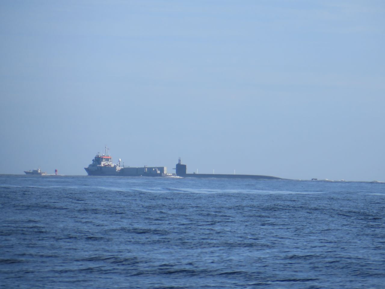
Although we thought we would only get to Jekyll Island, things went well, so we continued onto St. Mary’s Sound, the very last stop in Georgia. The Naval Submarine Base, Kings Bay, is located up the St. Mary’s River, so submarines go in and out of there quite often. We heard the Coast Guard telling boats to stay out of the channel long before we actually saw the submarine and its escorting ships. The “action” was in the distance, but I tried to get a few photos.

We anchored at the southern end of Cumberland Island just at dusk. Whew, made it!
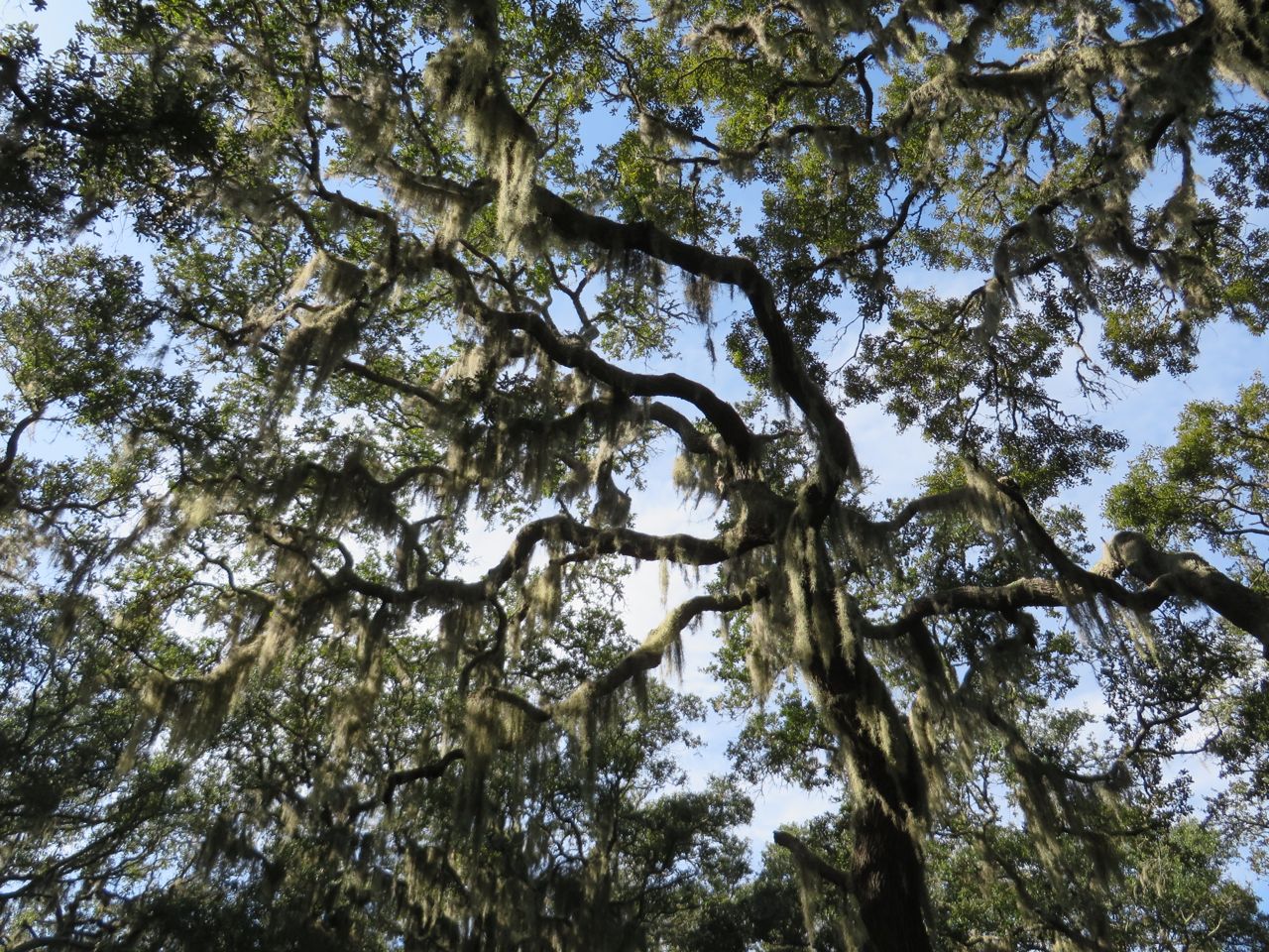
Cumberland Island is Georgia’s largest barrier island, a national seashore, and a Congressionally designated wilderness. The maritime forests, undeveloped beaches, and saltwater marshes are home to many species, including wild horses, turkeys, armadillos, sea turtles, and many birds. The human inhabitants span centuries – natives, missionaries, Spanish, French, and English explorers, enslaved African Americans, plantation owners, and wealthy industrialists, the Carnegies.
There are still about 3 dozen island residents, but, as a National Park, visitors are restricted to 300 per day. The only access is by the ferry which runs twice each day, or by private boat. People can hike, bike, camp, but cannot bring cars.

~ Al relaxes and rocks on the porch
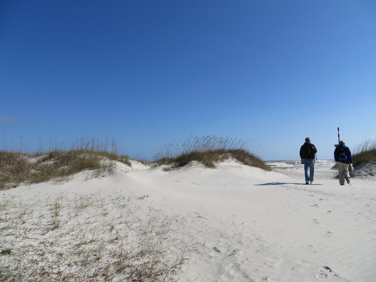
We really wanted to take the Land and Legacy Tour, a six-hour trip by van over the dirt roads. No room on our first day, so we set out to explore the southern end of the island on our own. Another cruising couple, Curt and Cindy (Classic Cyn) joined us on our hike.


~Big and baby horseshoe crab shells
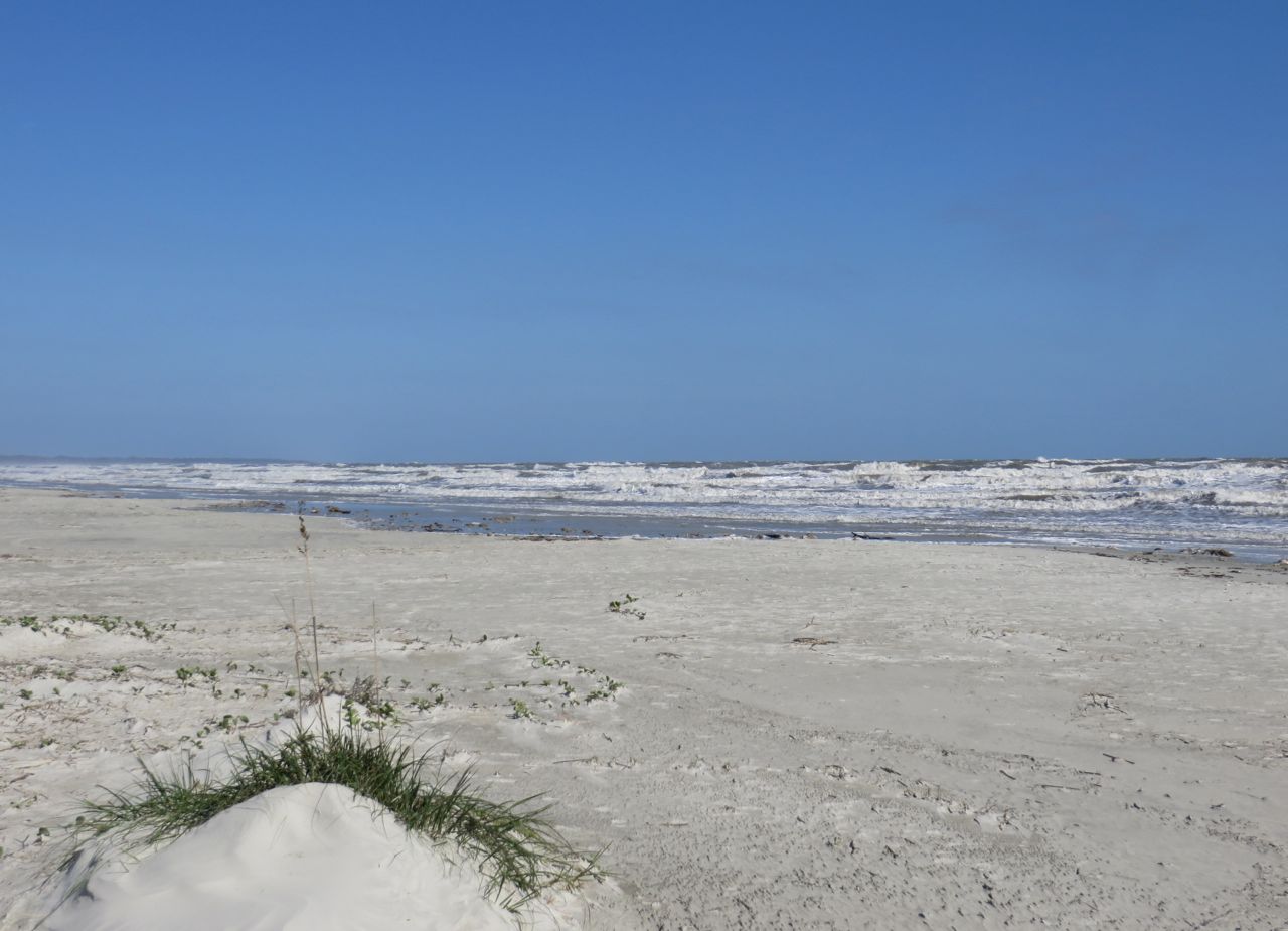
We were so thrilled to see wild horses as we walked back from the beach. There are about 150 horses on the island. They may be wild, but they pay no attention as you walk by. People are reminded that these are wild horses and should not be touched.


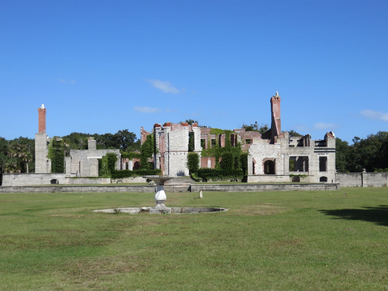
After the beach hike, we hiked to the ruins of Dungeness. In the 1880s Thomas Carnegie, (brother of steel magnate, Andrew Carnegie) and his wife Lucy bought land on Cumberland to build a winter retreat. Carnegie did not live to see it finished, but Lucy and their nine children continued to live on the island, in their mansion Dungeness, a 59-room “Scottish castle.” The last event at Dungeness was the 1929 wedding of a Carnegie daughter. After the Crash and the Depression, the family left the island and the mansion was left vacant. It burned in a 1959 fire.
One of the most curious things around the grounds of Dungeness was the cluster of rusting autos, just abandoned there.


On the next day, we tried to take the Lands and Legacy Tour again. No luck when we called for a reservation, but we hoped that someone might not show up. Alas, it wasn’t meant to be. The park ranger must have felt sorry for the four of us, so he showed us on the map how we could get to the north end of the island by using our dinghies. He showed us the route and where we might leave the dinghies. If we made it in time, we could join his tour group at “The Settlement.” We thought this was a great idea! Hopped in our dinghies, brought extra gas, our pb&j sandwiches, and off we went.
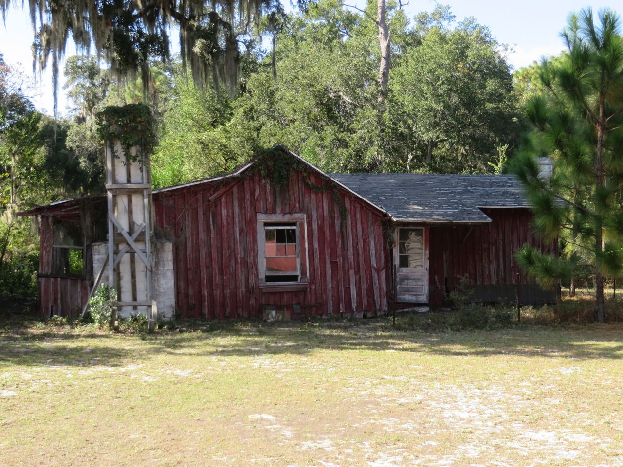
Are you familiar with the phrase, “not to scale”? The little land map we had wasn’t really quite enough for our trip by water. We went through the salt marshes, winding back and forth, just like a maze. If it weren’t for my iPhone, we might still be lost in those grassy waters! It took us almost 90 minutes, and we were moving at a good speed. Afterwards, we figured out that we had dinghied about 15 miles one way. Then, we could not find the spot the ranger had described for landing the dinghies. In desperation, we went around a little corner and found a tiny beach near the edge. Walking up into the woods, we found a sandy path and began to follow it. It soon became a sandy road that looked like it was traveled. Certainly by horses because they left “evidence” all along it. Eventually we found (or was that stumbled upon?) “The Settlement.”
In the 1890s, “The Settlement” was established at the north end of the island as a residential area for black workers, as Georgia had passed laws requiring racial segregation of housing and public facilities. The First African Baptist Church, established in The Settlement in 1893, was rebuilt in the 1930s. It is one of the few remaining structures of this community. Hollis, the Park Ranger, was in the church with his tour group. As we entered the back of the little chapel, he looked quite surprised to see us! Evidently, he did not expect we would really try to get here by boat. Really?
This tiny little church was where John F. Kennedy , Jr. married Carolyn Bessette in a private secret ceremony with only 40 guests. John’ s college roommate was a Carnegie and had spent time here on Cumberland Island over the years.


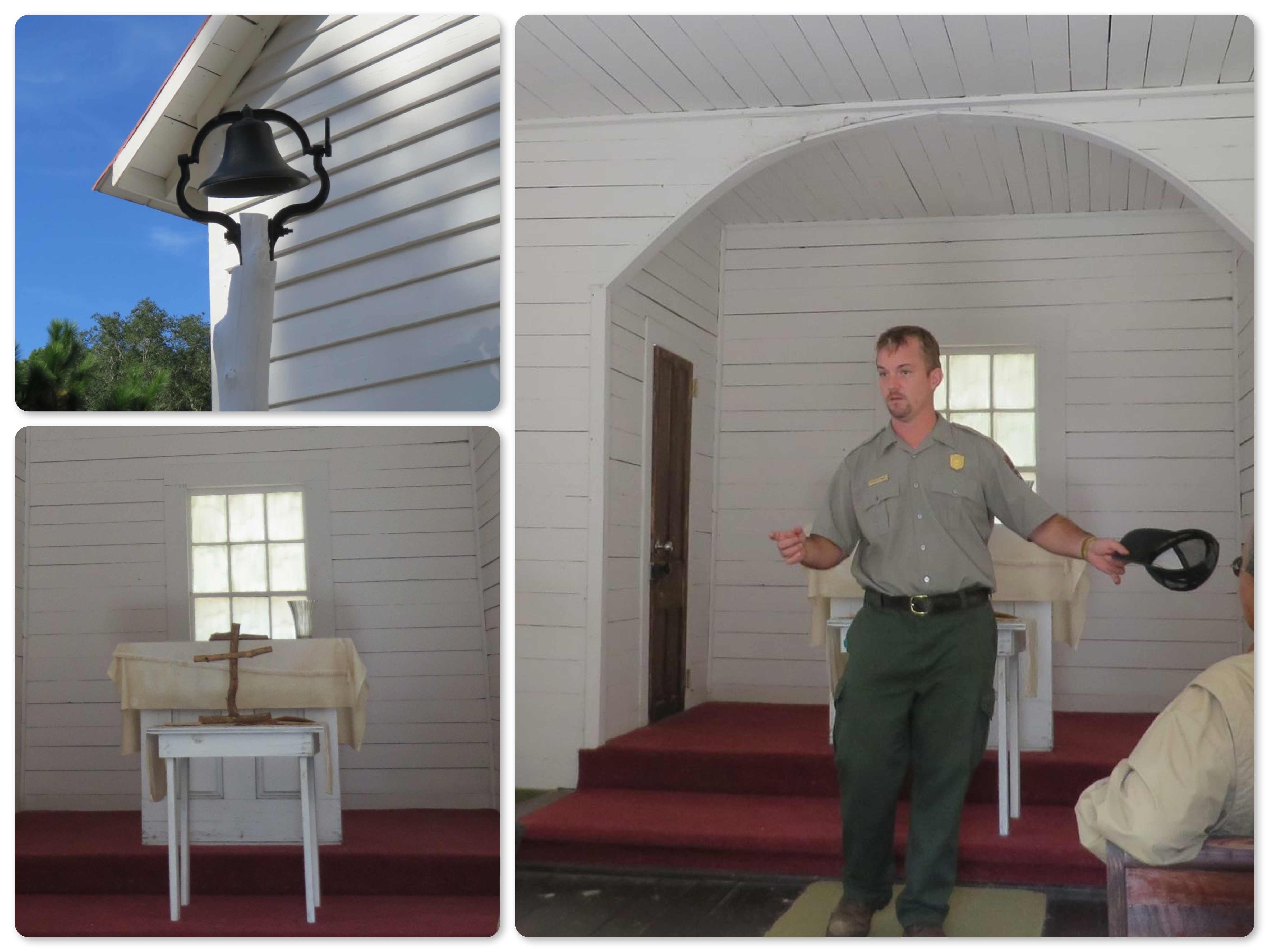
~ Hollis telling stories, describing the the history of the church and Kennedy wedding
~ Supposedly, the natural wood cross was never there until after the Kennedy wedding
Hollis also told about Jimmy Carter’s friendship with Robert Rischarde, a Cumberland resident. Carter visited the island many times and learned to appreciate environmental issues through this friendship.
Hollis also told stories about a local Gullah Geechee woman, Beulah Alberty, who both befriended and helped fellow neighbors, but also cursed them at other times. He says that Jimmy Carter wrote poetry about a “Beulah” ……. Officially, Beulah took care of the church in the 1950s and ’60s as its secretary and as “the mother of the church.”

~colorful interior walls
On our way back to the dinghies, we took the path that led to the HIgh Point Cemetery. It is actually several different little areas, enclosed by brick walls (built by Beulah) or by black fencing.

Would we recommend or repeat this little adventure? Probably not. Are we glad we did it? You bet!
There is still much to see on Cumberland Island, and we would like to stop there again on our trip north in the spring. There truly is a sense of mystery and magic to the island that is unlike anywhere we have ever been. The mixture of nature, culture, history, without the typical tourism, is unusual. It is best described on the Cumberland Island website —
“The greatest and most lasting value of the Island is its ability to change us. It is a place of transformation. It is this intangible feature that seems to be the most important benefit which Cumberland Island has for its guests. This spiritual quality is what, year after year, its visitors, residents, and Park Service employees seem to believe is its most important contribution to our people.”

Georgia on My Mind – Cumberland Island | Kindred Spirit
[…] did not want to miss this “magical and mysterious” place again. Our memories from 2013 of the island called us to stop again, even if only for a day. This national park is 36,000 acres […]
Anthony Baker
Great post! We hope to see too! Crossed into SC today. Be Safe