
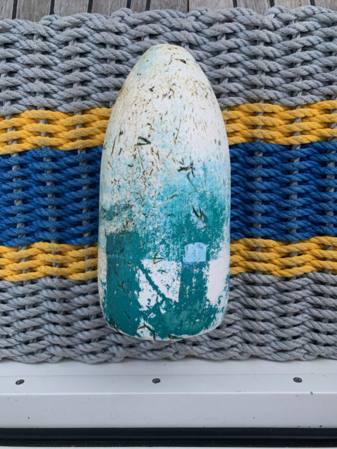
During our “dinghy up” routine to prepare for our departure the next day, Al discovered a lost lobster buoy snuggled in between our dinghy and the swim platform. We have a few of these orphans tucked away, but none of them have been particularly “pretty.” They may require some rejuvenation if the goal is to display them at home. Outside.
On Friday the 13th at 5:15 am, we dropped Mooring #13. Is this a bad omen? Not for us. We do not suffer from triskaidekaphobia, fear of the number 13. We lived at house #13 in Regional School District #13 and the exit off the highway for our town was Exit 13. I have always felt very comfortable with the number 13.
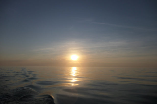
It was another humid and warm day, but the seas were flat and calm and we had the current with us. Early starts can be hard, but when it is this beautiful it is worth it.
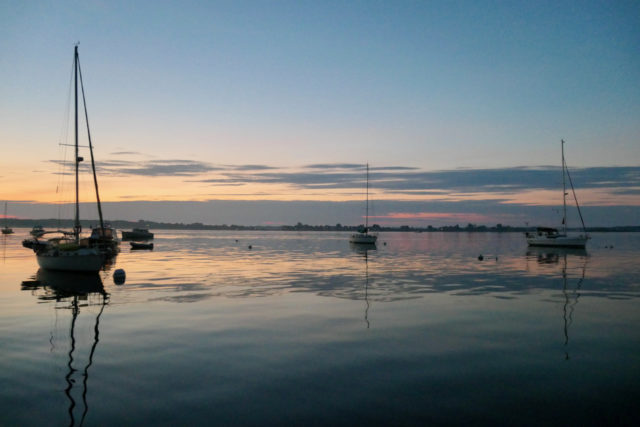

It’s interesting to be on the water that early. The horizon changes from that predawn glow into the sparkle of an early sunny day.

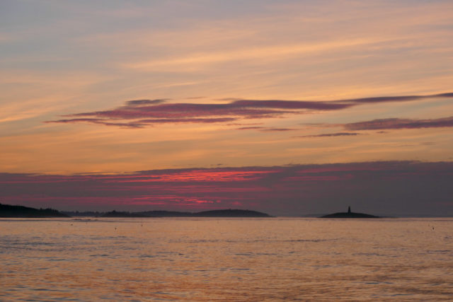
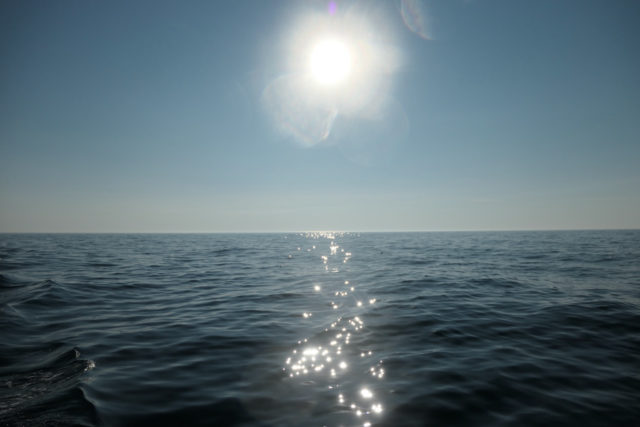
Our route was mostly a long straight run of 47 nautical miles out of the total 53 for the day. Our goal was Isle of Shoals with other options if necessary. Autopilot was on but we still had to be on lobster buoy watch. No more constant dodging was necessary, but we needed to be vigilant because lines of buoys still popped into view at random moments.

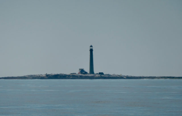
Eight miles out to sea, off of Kittery on the southern coast of Maine, lies tiny (only 300 feet x 700 feet) Boon Island. On this very flat little island we could see the 133 foot silhouette of its lighthouse, the tallest in Maine. The island and its lighthouse have some pretty interesting stories including numerous shipwrecks and even cannibalism.
We had heard so much about the Isle of Shoals and were disappointed that we couldn’t stop on the way north. We were traveling on a Saturday last month and all sources had reported “do not go on a weekend.” Why? The proximity to the mainland makes the Isle of Shoals the place to go by boat for day trippers and weekenders. In addition to that, boaters are cautioned about anchoring there because of the fouled bottom however, there are no rental moorings, either. You are supposed to just pick up an empty Portsmouth Yacht Club mooring and hope that no member arrives to kick you off of it. Sounded like a no, yes, or maybe place to visit. WE started the day with “maybe”, but somewhere along the way, Al decided on “yes.”
Isle of Shoals is a cluster of nine small islands and ledges that lies 6 miles southeast off Portsmouth, New Hampshire. The border between the Maine and New Hampshire runs through the group of islands.
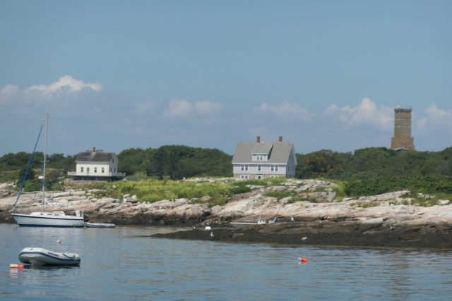
It was a Friday (the 13th) around noon, so we decided to give Isle of Shoals a chance. Me, nervously and Al with confidence. We approached the islands between Appledore and Smuttynose Islands. The harbor, Gosport Harbor, isn’t very large. Al looked around and decided we were going to anchor. He snuggled Kindred Spirit into a safe place.
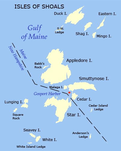
We were still in Maine as evidenced by the red dot I marked.
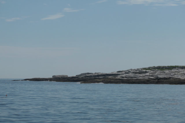
Our route took us between Appledore Island and Smuttynose Island. Smuttynose Island Whenever I hear Smuttynose and Appledore, I imagine a Hogwarts/Harry Potter atmosphere. The name Smuttynose actually refers to the dark rocks at the island’s eastern end.
Smuttynose is most famous (infamous) for the gruesome double murder that occurred on the island in 1873. While their husbands were off on the mainland to purchase fishing bait, two women were killed with an axe and the third escaped, hiding among the rocks. The convicted and hung accused murderer was a Prussian fisherman who had worked with the Norwegian immigrants the previous summer. I recall reading Anita Shreve’s novel, The Weight of Water, a story that intertwines that history with a modern fictional tale.
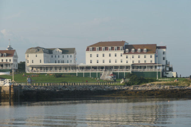
In 1873 a grand resort hotel was built on Star Island, one of the 150 grand hotels constructed on the New England sea coast between 1800-1950. Of the ten remaining grand hotels, the Oceanic House is the only one that has escaped renovation.
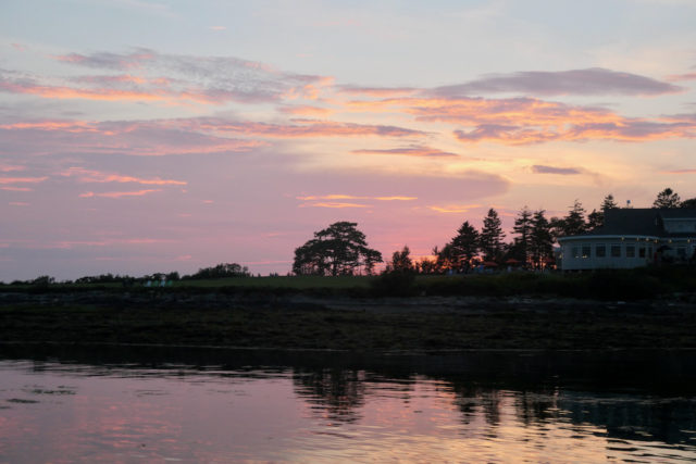
It was a stinking hot day, even offshore in Gosport Harbor, and we never got off the boat. Appledore and Star Island are the only two islands open to the public. We had plenty to watch from our cockpit.

On Saturday, we pulled up the anchor (no fouling issues) and departed, leaving Maine behind. We made our way through the other side of the Isle of Shoals, passing by Lunging Island and White Island.
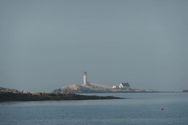
New Hampshire’s only off shore lighthouse, White Island Lighthouse. The first lighthouse was built of stone and wood shingles in 1820 and didn’t survive the harsh conditions. That was replaced in 1855 by the current lighthouse, built of brick and stone.

We thought the beauty of this group of little islands is somewhat marred by the busy crowds. But, Friday is the start of the weekend and perhaps that is why. There is a lot of history here and it would be nice to have explored more. For a one day/one night stopover, I sure had a lot to write about. Maybe too much!
Leave a Reply