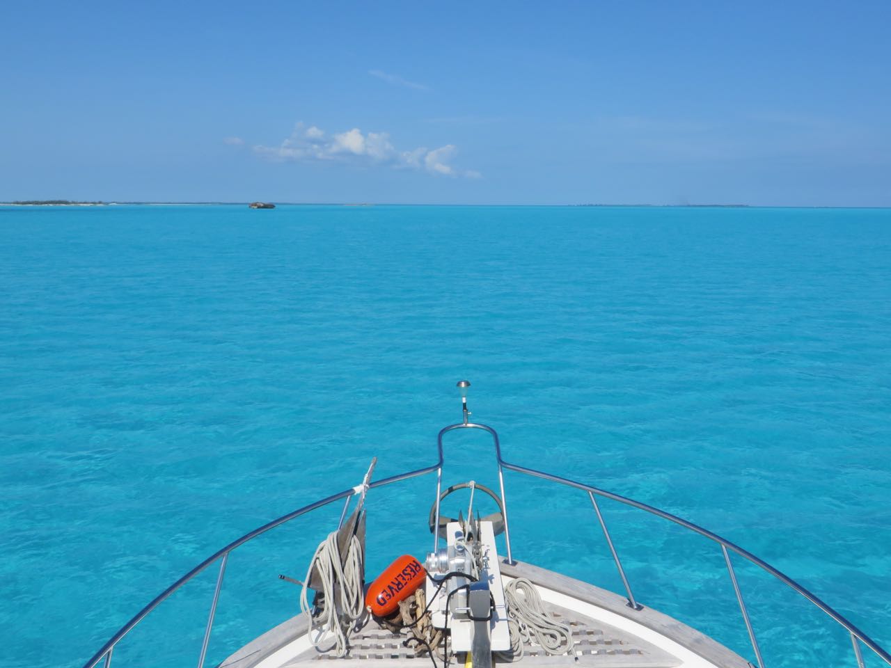
The “crossing” window for a boat really involves more than just the Atlantic Ocean between Little Bahamas Bank and Florida’s coast. That’s the most important part but you need to get there first. Our plan was to break it into 3 days of travel (Hope Town to Crab Cay, Crab Cay to Mangrove Cay, Mangrove Cay to Fort Pierce, Florida) aiming for Saturday as the actual “crossing” day. The fickle heart of this year’s weather continued to toy with our affections. Everything was good at the moment, looked like it would remain doable, but the “best” day flip-flopped back and forth between Saturday and Sunday. Do we want lower winds with higher seas or higher winds with lower seas? Couldn’t we just place an ala carte order for low winds and a side of low seas?
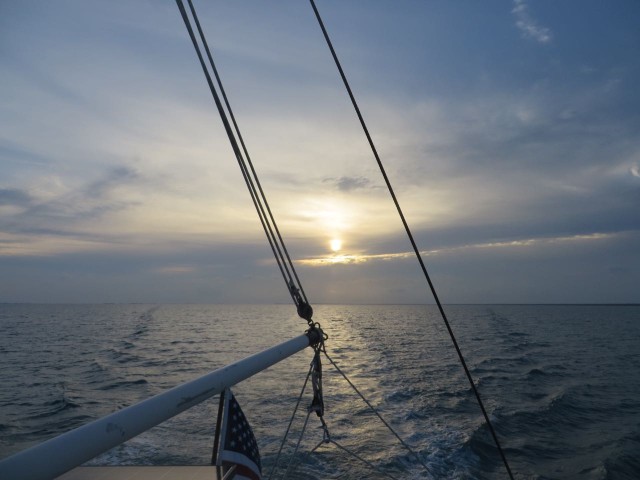
The morning of Thursday, March 3 was charmingly, lovely day, making it all the harder to leave Hope Town. I was really ready to go home, but I didn’t want to leave.

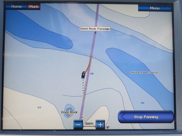
The weather and tide allowed us to give Don’t Rock Passage another try rather than go out through the whale.(remember that time back in December? Don’t Rock the Boat, Baby)

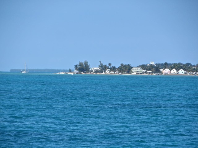
Three and a half hours after leaving Elbow Cay, we dropped the anchor outside Green Turtle Cay for lunch and a last weather check on the computer (Green Turtle has excellent wifi. Would that make the anchorage an internet café?)

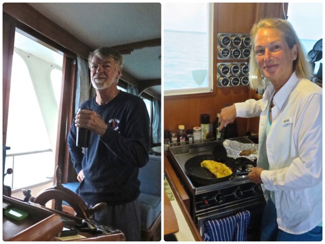
Saturday or Sunday? Sunday or Saturday ?? We were still debating. Our friends, Anthony and Annette on Magnolia, also left Hope Town later that morning and planned to stop at Green Turtle for a few days. They promised to stay in touch via VHF to give us the latest weather news from Chris Parker the following day (We don’t have a Single Sideband radio not do we pay for Parker’s weather service, but we do have gracious friends who have both.)
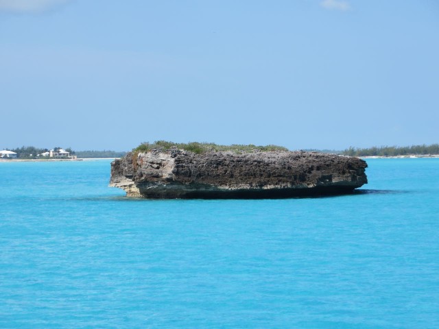
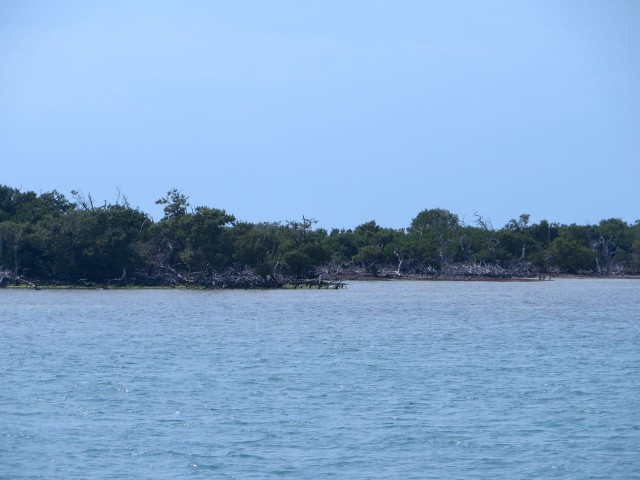
After lunch, we continued on to Crab Cay, a little narrow uninhabited cay at the north end of Great Abaco Island. We had tucked in there on our way back in 2014 and decided to do so again.

Anthony radioed to us on the VHF from Green Turtle Cay and read Chris Parker’s crossing forecast to us. My written notes were:
- Saturday 3/5: “Benign westward northern route, ENE 10-16 knots winds, mild swells, 3 feet going 6 feet.”
- Sunday 3/6: “More northern component, building wind.. 10- 16 knots, seas 7-6 feet.
Based on that information we decided to aim for a crossing on Saturday. Day 2 (Friday, March 4th) of the crossing trip, from Crab Cay to Mangrove Cay, would be about 57 miles, so were underway at first light.
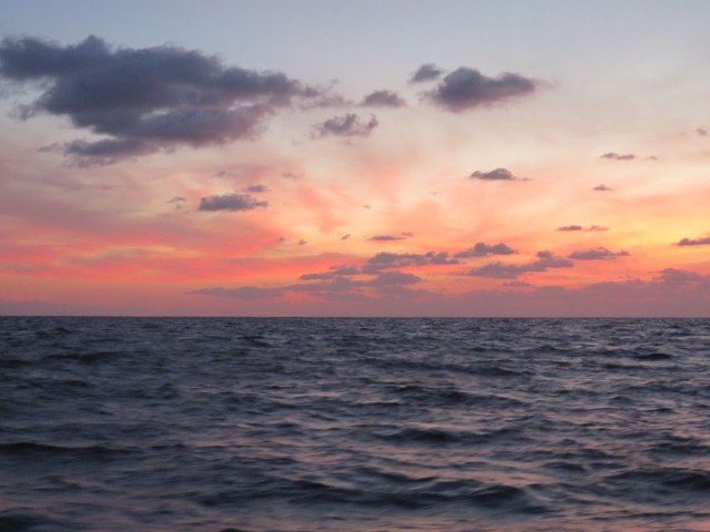
It was pretty quiet out there, alternating sunny and warm with periods of clouds.

During the morning, the winds picked up to 15-18 knots and the waves went from 2 ft to 3-4 feet. Instead of heading to Great Sale Cay as in the past trips, we chose Mangrove Cay which will get us closer to the Gulf Stream for a shorter trip on the next day. We were anchored by 2 pm on the east side in the lee with less wind and waves, which had subdued.
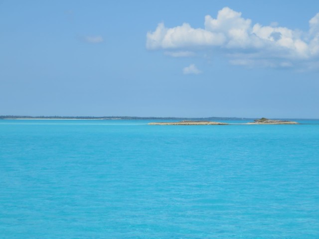
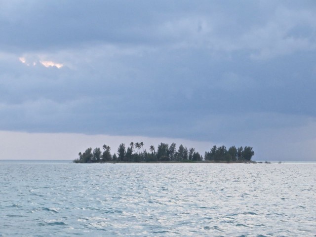
The water was pretty, there was no one else there, and the weather was quiet and warm enough. Just warm enough for our traditional last day in the Bahamas skinny-dipping ritual. (Don’t worry, there are NO photos of that.) No sooner was I cleaned up from the swim, when Capt Al announced we were leaving. What??? Where are we going??? To Sandy Cay, a little spit of a cay (emphasis on LITTLE) about 3 hours away, closer to the edge of the Banks. Don’t worry, honey, this will make tomorrow’s crossing almost all daylight. OK…………
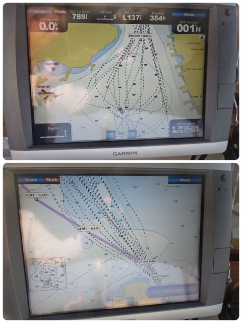
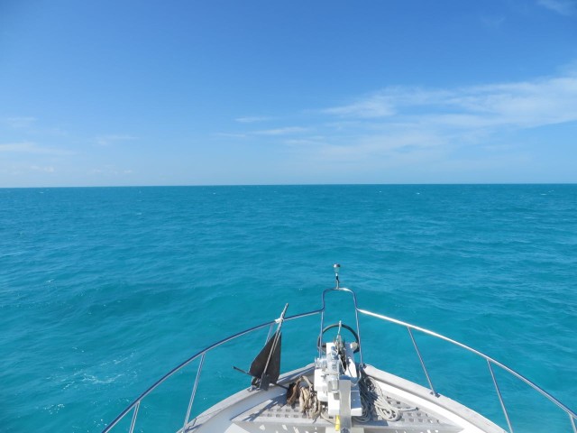
A total of 80 nautical miles and 12 hours later from Crab Cay, we reached Sandy Cay about 6 pm, just before sunset. (Why are there so many cays with the same names and all in the same general region? Sandy Cays, Guana Cays, Crab Cays, Pelican Cays.) This Sandy Cay is a little north of West End where boats can check in, and south of Memory Rock, on the edge of the banks. With the last of the daylight, we took the time to check the passage out of Sandy Cay because of the shallows, making tracks on our chartplotter that we could use in the early morning.
On Saturday March 5th we departed the Bahamas at 5:10 am before dawn. It made it so much easier to have those tracks from last night so that we could carefully make our way out the other side of Sandy Cay and into the Atlantic Ocean.
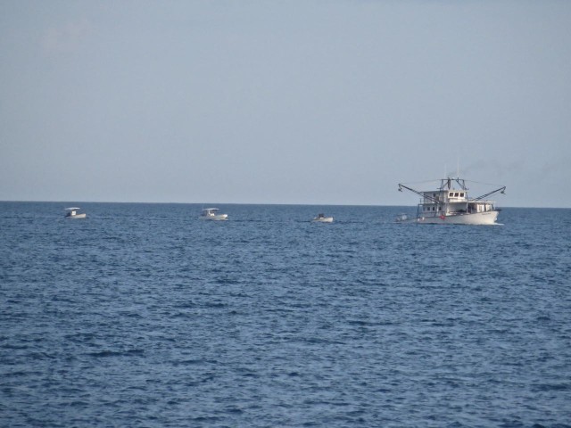
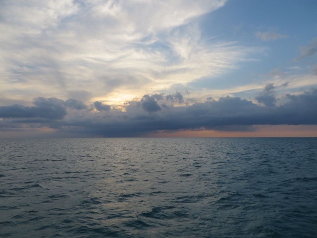
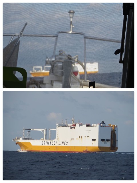
It wasn’t long before the seas were 3-4 feet with 10-15 knots of wind. It was ok at that point. We saw a few cargo and tanker ships, but not too many other boats. I think you always imagine that boats will be passing each other here and there, but this isn’t Long island Sound; it’s a whole lot bigger.
By 10:30 am, the chart plotter showed that we were in the “approximate location of the axis of the Gulf Stream.” Conditions had become uncomfortable by then. The winds were now 15-18 ENE and the seas were confused, 7-9 feet rollers with chop on top. It’s what we called the “washing machine effect.” The level gauge would tip 25 degrees to port, then 25 to starboard, and then settle back to just 10 either way.

The only really interesting thing we saw during the 80 miles/10.5 hours across were curious little floating things passing by the boat. Although many passed us during those 10 hours, photographing them was more than tricky. Not only did I have to steady myself on the rocking boat, but I had to zoom and allow the auto focus to center in on the funny little thing quickly.
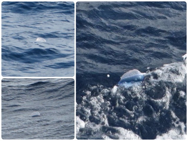
We had no idea at the time what these were, so Al posted the photos on the Live Aboard Boats Facebook page and within one minute we had 18 replies. They are Atlantic Portuguese man o’ war (Physalia physalis), also known as the Man-of-War, blue bubble, or floating terror, and live at the surface of the ocean. The gas-filled bladder, or pneumatophore, remains at the surface. The submerged venomous tentacles extend 30-50 feet beneath the surface and can deliver extremely painful stings to humans. Since the Portuguese man o’ war has no means of propulsion, it is moved by a combination of winds, currents, and tides. (Thank you, Wikipedia, for the details.)
At 12:45 pm we noticed a sailboat named Hold Fast on the AIS, about 10 miles ahead of us. Recognizing the name as friends of Magnolia (Anthony and Annette) we hailed them on the VHF to say hello. Magnolia had told them to look for us out here. It felt good to be able to talk to another boat, and learn that they were uncomfortable as well. 😉
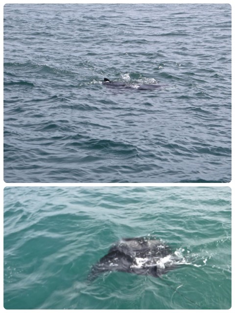
Just as we neared the channel entrance to the Fort Pierce inlet, Al saw something in the water. Everything was much calmer and quite benign now (at least this is my definition of “benign”, Mr. Parker) so the Captain did a u-turn to go back and take a look. A manta ray, eating something. He was there on the surface longer than usual.

So, yes, we are back in the United States, Florida for now, 200 nautical miles from Elbow Cay. What did we learn from this crossing? I am slowly developing my own “weather window” rules. After reviewing all our weather apps and websites (Windfinder, SailFlow, Mavs Buoy, Windyty, NOAA, Passage Weather, Northern Bahama Surf Report, plus a Chris Parker report if available from someone), I will then assume they are wrong. Seriously, the best course of action is to look for a window that is better than you think you can handle, because the reality always seems to be worse. That said, it wasn’t awful, just a lively, salty and somewhat uncomfortable ride. The good part was that it only lasted for 10 hours, not 20+. 😉
Although we are now in Vero Beach, I still have a few Bahama blog posts to write, but I will get to those later. It will be nice to think about the Bahamas again even if we aren’t there anymore.
Cori
Glad you are back across safe and sound. I enjoyed the Abacos this winter from your blog. Excellent Job!!
Ellen @ The Cynical Sailor
“Look for a window that’s better than you think you can handle” – I think that’s a really good way of looking at it. When we did our crossing to and from the Bahamas, we lucked out with really great conditions. But, I’m sure we won’t always be so fortunate.
watsons
Ellen,
Thanks for reading our blog. I just took a look at yours and found it very entertaining and interesting. You are much more adventuresome than we are!!