Through the Waccamaw River

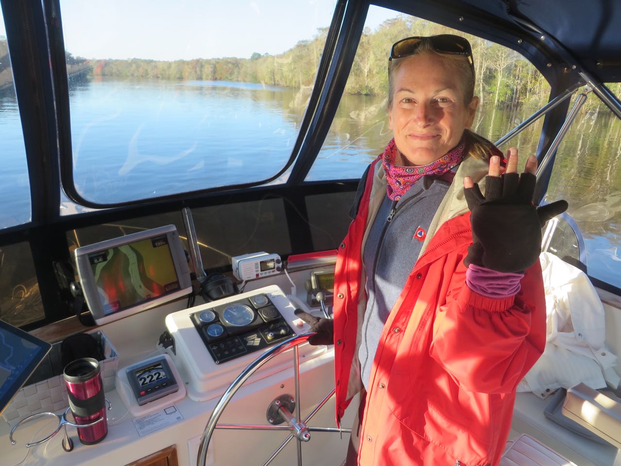
We made the next two days another new experience for this voyage by traveling in the ICW instead of going outside to the ocean. We heard the Waccamaw River is beautiful so off we went. In the cold! For three days (and nights) the weather was very chilly for these southern states. High 40s at night and only low 60s in the day. Our cabin went down to 50 degrees on two of the nights! I wished I had packed that extra comforter………….

Wearing 4 layers and my gloves! Thank goodness the sun is shining. Makes all the difference.
Wearing 4 layers, a scarf, and my gloves! Thank goodness the sun is shining. Makes all the difference.

We had to pass through Myrtle Beach before reaching the Waccamaw.

A very pink house and matching dock. Nothing much to say except, wow, that catches the eye.

The 28-mile Pine Island Cut (ICW Mile 346.8-374.8) was the last section of the ICW to be completed, finished in 1936. The infamous “Rock Pile” (ICW Mile 350-352) in the Pine Island Cut, is a 2-mile stretch made of fossiliferous limestone. The danger sign is to warn you that it would not be kind to your hull if you ventured too close to these rocks. The Army Corps of engineers discovered it in the 1930s when they were working on this cut. The rock slowed their progress, required dynamite, and forced them to progressively narrow the channel. The cretaceous limestone at the lowest point is 65 to 144 million years old (end of the dinosaur age) and is loaded with fossils.

Danger - Warning! But we really didn't see any of these "rock piles", only a hint of rocks once in awhile. Perhaps because the stare level has been so high due to the recent flooding.
Danger – Warning! But we really didn’t see any of these “rock piles”, only a hint of rocks,  once in awhile. Perhaps this was because the water level has been so high due to the recent flooding.

 This stretch has a few bridges, high and low. There were seven 65-foot bridges.

An attractive 65 foot bridge. No I really don't remember which one it was!
An attractive 65 foot bridge. No, I really don’t remember which one it was!

Speaking of bridges, high and low, we were approaching one of the 65 foot fixed bridges width a narrow passage opening. We could see this tug ahead and radioed to him so that we could discuss our passage through. No answer. Twice – no answer. Another boater chimed in and said “he wouldn’t answer our call either.” So we went on ahead and made it through, but it was close.

Facing with an uncommunicative tug approaching us. Just don't understand why he wouldn't answer his VHF when we inquired!
Facing off with an uncommunicative tug approaching us. Just don’t understand why he wouldn’t answer his VHF when we inquired!

Swing bridges were the style for the opening bridges. There were four today, two of which required that we request an opening.

Little River Swing Bridge
Barefoot Landing Bridge with a 31 foot clearance that was only 29 feet today. Either way, we can go under without requesting an opening.
Socastee Swing Bridge opens with a line of trawlers coming through towards us.
Tom Yawkey Wildlife Center floating swing bridge. AL thought floating was a great idea for a swing bridge.
Tom Yawkey Wildlife Center floating swing bridge. Al thought floating was a great idea for a swing bridge.
What is this?? We have no idea what this structure might be, but it sure caught our eye. Anyone know??
What is this?? We have no idea what this structure might be, but it sure caught our eye. Anyone know?? UPDATE: It is a VORTAC used by aircraft pilots for navigation. Thank you, Brian McCarthy! I love it when people answer my questions.)

Myrtle Beach is a golfing haven. There are over 80 golf courses in Myrtle Beach and some of the courses line the banks of the ICW. I am not a golfing fan, at all, but I can imagine this must be paradise if you are.

We could catch a glimpse of some of the golf courses because we were riding up on the flybridge.
But this really was curious - Gondolas, overhead cable cars, at Mile 356.3 ferries golfers from the parking lot to the pro shop of Waterway Hills Golf Club. Like a ski resort!
But this really was curious – Gondolas, overhead cable cars, at Mile 356.3 ferry golfers from the parking lot to the pro shop of Waterway Hills Golf Club. Like a ski resort!

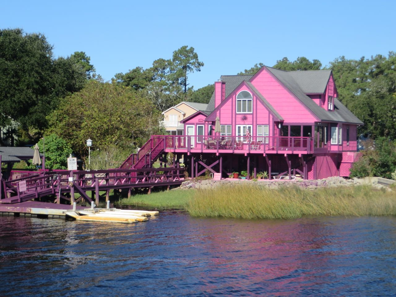
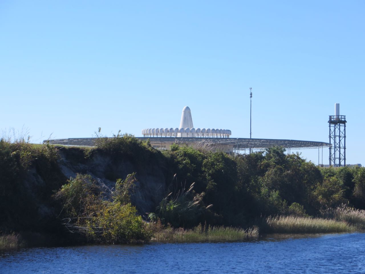
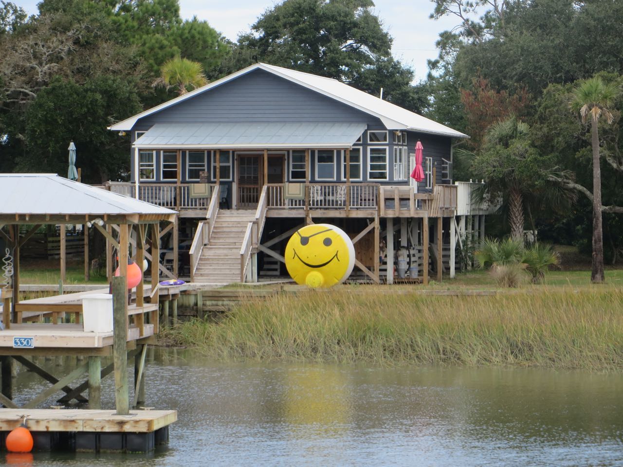
At times, there isn’t much new to see as you slowly travel along, but then, at other times, you just see interesting and curious sights, natural and manmade.

Red nuns and green cans – a graveyard or a repair shop?
Red nuns and green cans – a graveyard or a repair shop? They look so big when they are out of the water.

 I’m sure everyone remembers the recent torrential and constant heavy rains that hit the east coast, especially in South Carolina where it caused serious flooding. The Waccamaw River was above flood stage for 13 days. October 7th saw the third highest water level on record of 16.1 feet. By delaying for a few days, we hoped that the waters would recede before we reached this region. Even though our passage was almost 2 weeks after that record high, the Coast Guard still had small patrol boats out on the ICW asking boats to slow down enough so that they made little to no wake. Some of the homes are so close to the water and so low that boat wakes caused the water to rise up and into their homes again.

Look closely and you can see how low these houses sit to the water. It would take much to bring the water right back up to their front doors.
Look closely and you can see how low these houses sit to the water. It wouldn’t take much to bring the water right back up to their front doors again.
Some of the docks suffered form the flooding waters as well.
Some of the docks suffered from the flooding waters as well. Ramps aren’t supposed to go UP to the dock, and the other ramp leads to a missing dock that must have floated away. 

We finally reached the Waccamaw River, traveling along, but not always together, with our current buddy boat, Magnolia.

Magnolia cruising down the Waccamaw River.
This section of the Waccamaw is lined with trees.
Magnolia and Kindred Spirit snugly anchored in Bull Creek off the Waccamaw.
Spotted this crane at the edge of the water when we dinghied over to Magnolia for dinner. He kept his back turned to us. Maybe we should have invited him to dinner, too.
 Dinner on Magnolia with Annette and Anthony.
Dinner on Magnolia with Annette and Anthony.
The night is so dark and the stars and the moon shine much more brightly when you are out here. It was so nice to be away from it all. Just wish I had a better camera for photos like this.

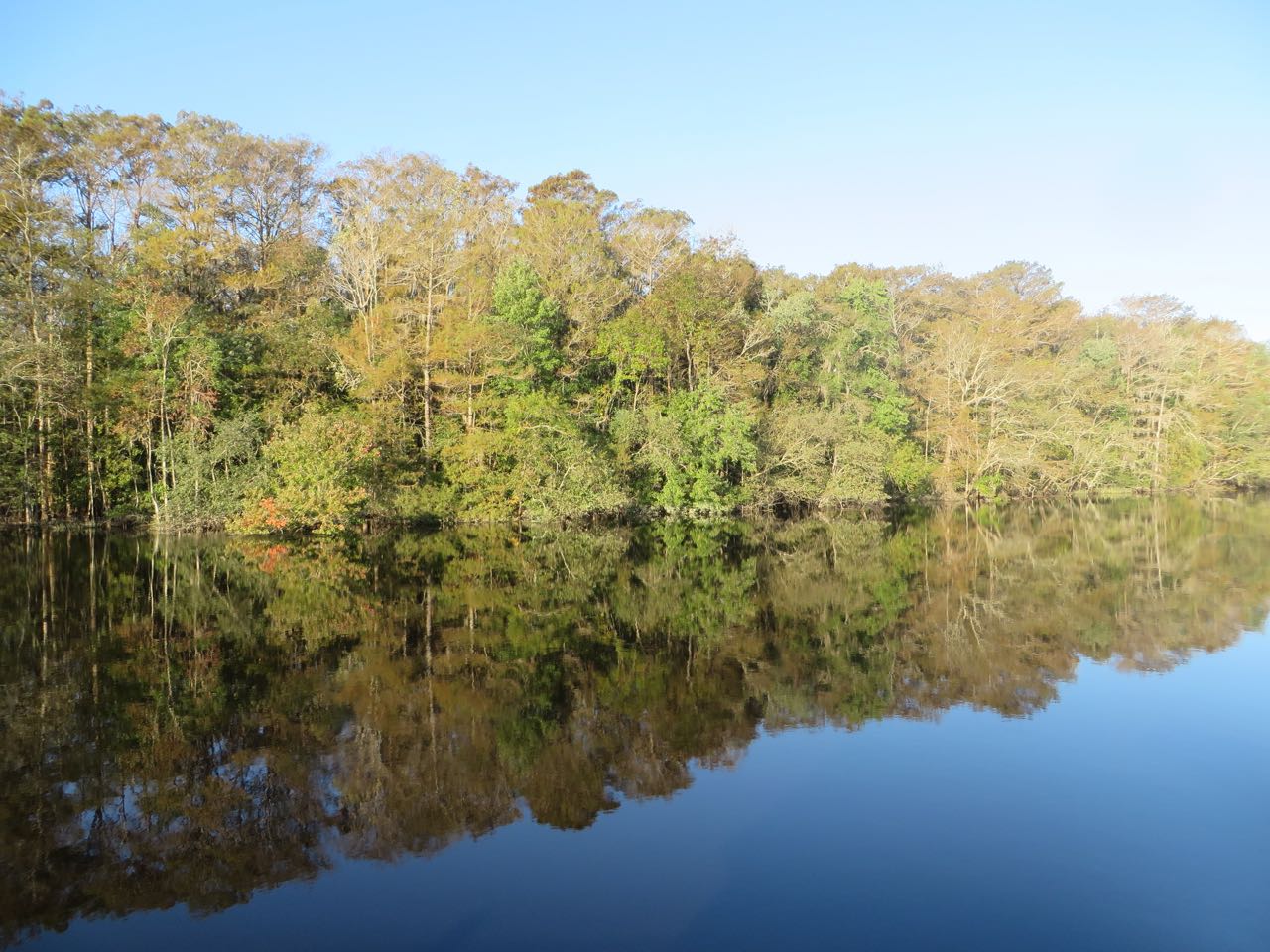
Love the way the water reflects the trees in the early morning sun.

Waccamaw day 2 reflections-2
Waccamaw day 2 reflections

 Spanish moss drapes the living oak trees that line the Waccamaw River. It is lightly attached and does not harm the living oaks. It’s one of those sights that quietly states you are in the South, that you are not at home anymore. Spanish moss isn’t Spanish and it’s not moss. It’s an air plant that likes the water in the humid air. Historically, Spanish moss has had many uses – made into rope, used as gun wadding, mattress and furniture stuffing, and even air conditioner filters. (Just a little trivia.)

Spanish moss drapes the oaks.
Even the dead trees are fascinating and interesting.
Even the gnarly dead trees are fascinating and interesting.

 Magnolia and Kindred Spirit parted ways on the second day, but we would meet again in Charleston. We anchored in Graham Creek (ICW Mile 439) after passing up the Minim Creek Canal and Santee River anchorages because the day was still young, and then deciding that Five Fathom Creek and Awendaw Creek anchorages didn’t offer the best protection or the best depths. This little creek was narrow and shallow at the entrance, but we managed just fine. We were tired by then and wanted to stop for the day.

Our anchorage in Graham Creek - How different the view was, depending on the direction you looked. One side looked over the marshes to the ocean and the other was lined with trees.
Our anchorage in Graham Creek – How different the view was, depending on the direction you looked. One side looked over the marshes to the ocean and the other was lined with trees.
Dawn over the marshes.
Shortly after the sun rose, I looked over at the trees and saw this silhouette of Kindred Spirit. Really cool.
These are pictures of different turtles, all from this one day. We are seeing many more turtles than we did on the first trip. Is it because we are now a trawler, and members of MTOA???
These two large birds were soaring overhead. I tried hard to catch a photo of them!
Best photo that I was able to get. Is it a hawk or an eagle?
This is the best zoomed photo that I was able to get. Is it a hawk or an eagle?

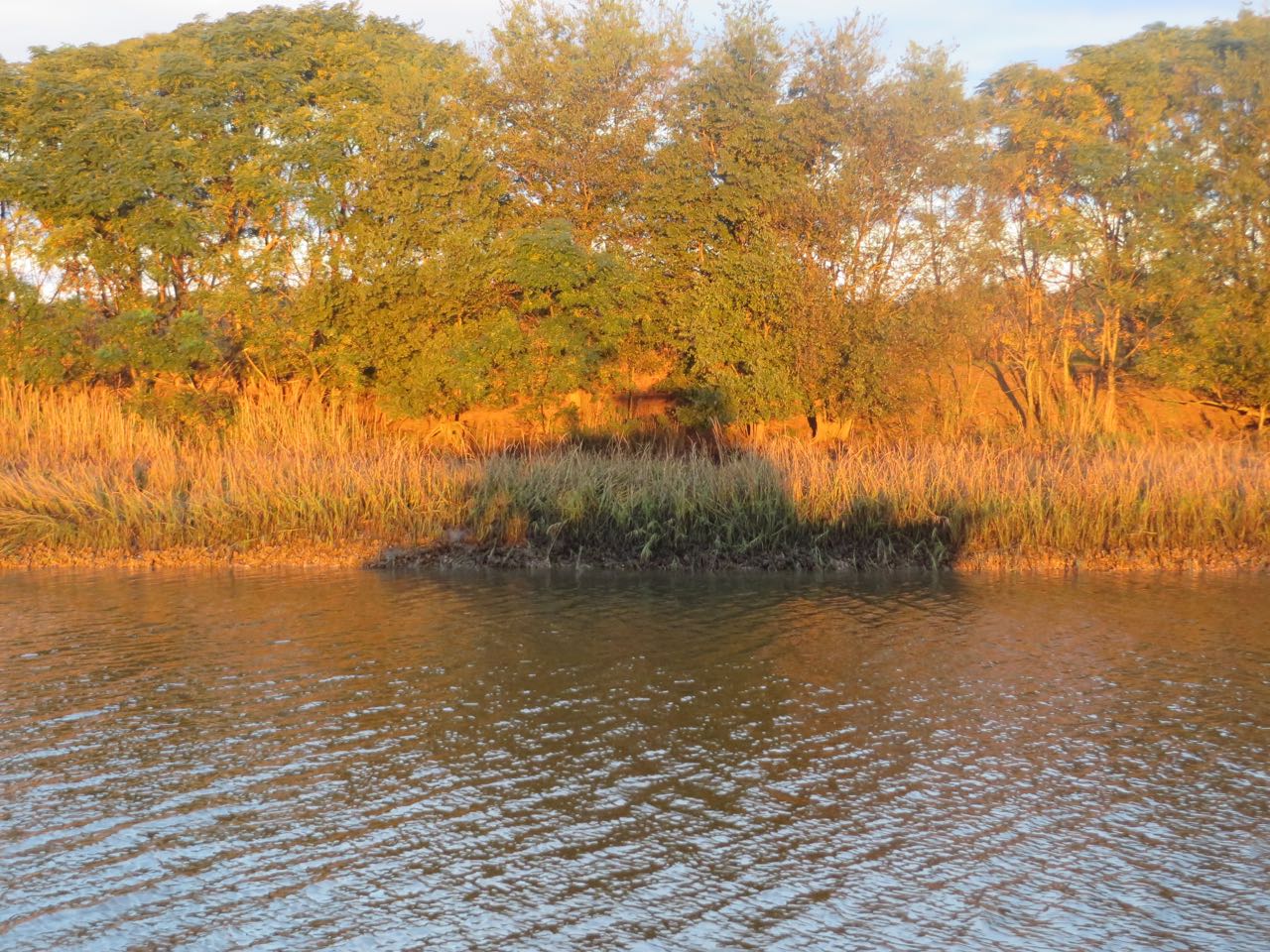
Much of the time on our second day in the Waccamaw, we were flanked by grassy marshes on both sides, giving meaning to the term, “low country.”

Grassy marshes and the remnants of an old rice gate used to control the water in the rice fields.

 As we neared Charleston, the marshes changed to civilization again with more houses and resort communities on the Isle of Palms and Sullivans Island.

This was the opposite side of the ICW from the resort island communities. Just another one of those things that make you curious. What's the story behind it?
This was on the opposite side of the ICW from the resort island communities. Just another one of those things that make you curious. What’s the story behind it?
AIS - Cutting Class is the pink diamond at the dock (leftist). We are the upper right pink boat in the ICW. Magnolia is the lower pink boat heading towards the inlet entrance. I thought it was pretty cool that we were all there.
AIS – Cutting Class, Magnolia, and Kindred Spirit all in one shot.

I checked the Marine Traffic app on my phone and saw that Magnolia was close to entering Charleston Harbor from the outside. By using the “My Fleets” feature onto app, I can set it to show me which of our friends are near by.   Cutting Class is the pink diamond at the dock (leftist). We are the upper right pink boat in the ICW. Magnolia is the lower pink boat heading towards the inlet entrance. I thought it was pretty cool that we were all there.

The Ben Sawyer Bridge is the last one before we enter Charleston Harbor. This time we don't have to request an opening.
The Ben Sawyer Bridge is the last one before we enter Charleston Harbor. This time we don’t have to request an opening; we can slide right under.

Both Magnolia and Kindred Spirit anchored off of Fort Johnson near Fort Sumter for the rest of the day. Although it is a little bumpy out here in the harbor, this will allow us to move to the dock at the Charleston Maritime Center during slack tide tomorrow morning.

We have nice views of the southern side of Charleston from our anchor spot. Sure are looking forward to visiting Charleston again!

charleston2
Charleston
Charleston1
Charleston

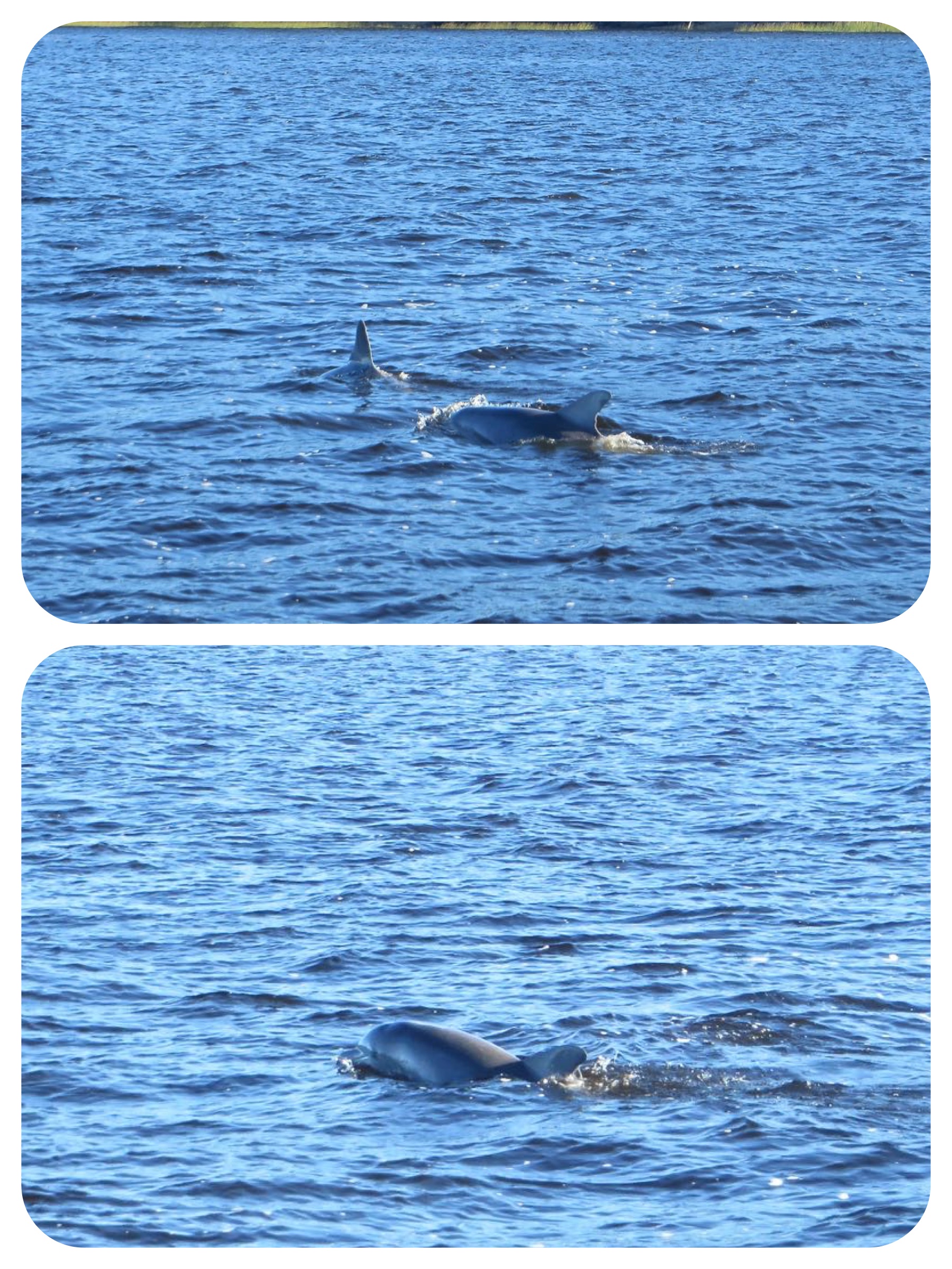
And we had company for a little while from several dolphins swimming around our boat. I never get tired of seeing the dolphins. 🙂

Dolphins welcome us to Charleston

2 Responses

  1. Peggy Bjarno

    Your “hawk or eagle” is a turkey buzzard. See that reddish head? Just like a turkey. They are beautiful when in flight, very graceful as they drift along the air currents. NOT so beautiful when on the ground and close up, but they are avid scavengers and serve an important function in clearing road kill. :-/ YIKES!
    Love your screen shot of the three of you on your Marine Traffic app. We’ll have to try that!

    • watsons

      Thank you so much for answering my question! We enjoy watching the birds and wildlife but have little knowledge of specific names and characteristics. These turkey buzzards were awesome to watch in flight.

Leave a Reply

Your email address will not be published. Required fields are marked *