It was time to stretch our legs again (or would that be “wings,” as in sails??) and see another harbor. We had been waiting for a stretch of several days with gentle winds and low seas to make the trip south to Lynyard Cay and Little Harbour. Saturday, January 25th through Tuesday, January 28th looked good so Cutting Class (Marcia and Dan) and Kindred Spirit dropped the mooring lines.
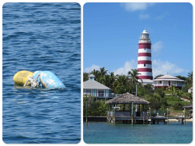
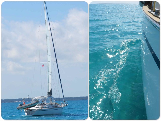
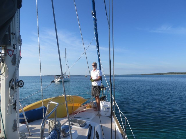
We left Hope Town at 11:30 am, around mid-tide, motoring slowly as we checked the depths. It was to be a beautiful day!! We were able to sail part of the way and once again enjoy the silent movement through the clear blue water.
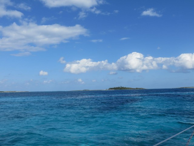
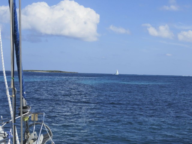
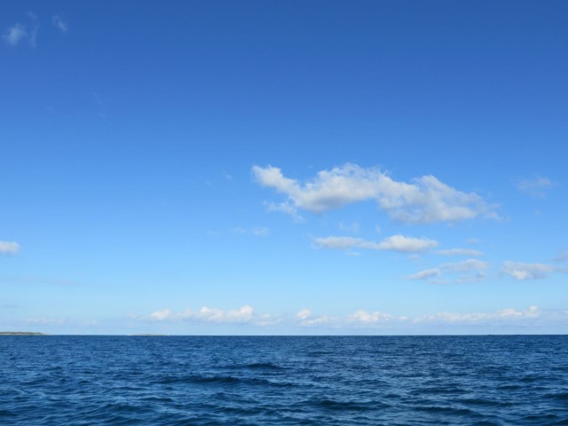
We took the deeper draft route so that we did not have to worry about depths and coral heads, about 18 miles. The route zig-zagged us along the east coast of Great Abaco, between it and Lubbers Quarters, past Tiloo Cay and the Pelican Cays. What a day! The puffy white clouds accented the blues of the water and the sky.
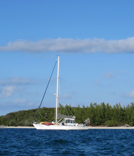
We dropped anchors mid-afternoon off the western shore of Lynyard Cay. There is nothing like looking down into this clear water to see the bottom – so beautiful. With this really good weather, there were other boats anchored as well. Some of them were staging to make the passage through North Bar Channel heading south to Eleuthera.
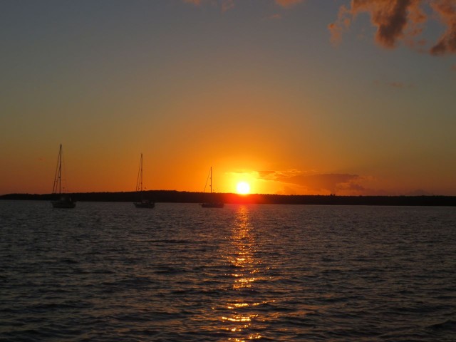
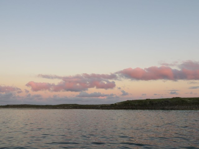
We ate dinner together on Kindred Spirit, and were treated to another sunset followed by a dark sky with stars that shined so much more brightly than back home in New England, or even in our Abaco home of Hope Town. I wish I could have photographed the night sky so I could remember it.
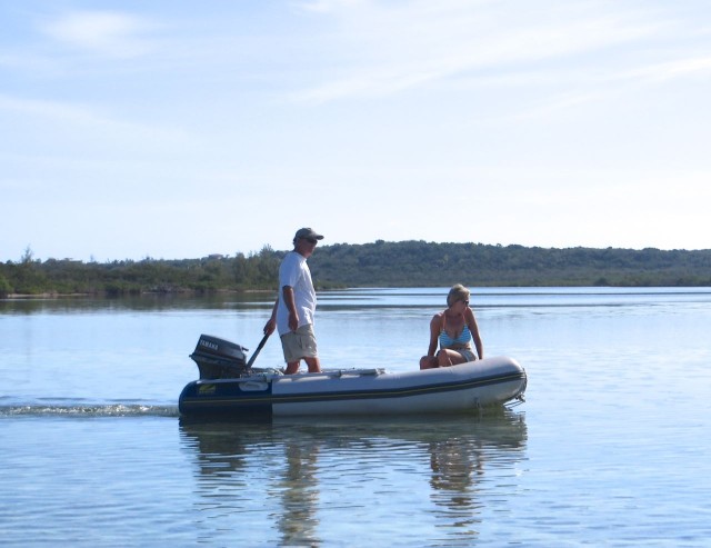
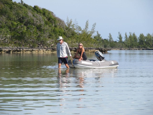
The next morning, we quickly packed both of our dinghies for a day of adventure led by John and Carol on Palm Pilot. Palm Pilot is a catamaran and was anchored closer to the Bight of Old Robinson (don’t you just love quirky curious names?) where we were headed. John’s adventure plans for us included snorkeling, lobstering, and a blue hole.
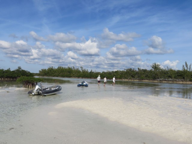
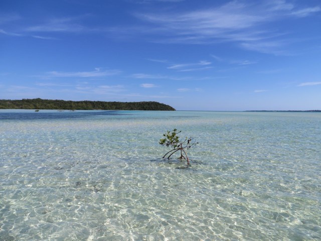
John led the our little 3-dinghy caravan into the regions labeled on the chart as “unsurveyed area” – yellow color on the nautical Explorer Chartbook with no depths recorded..
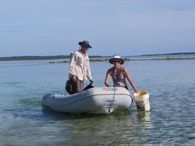
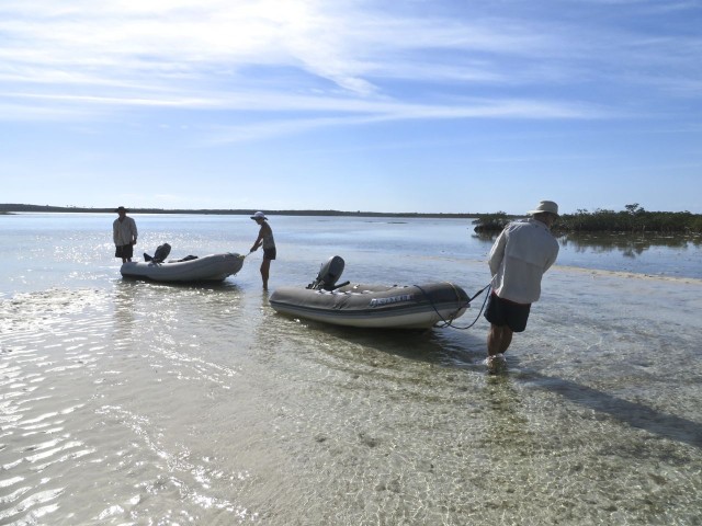
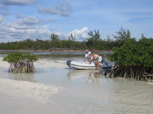
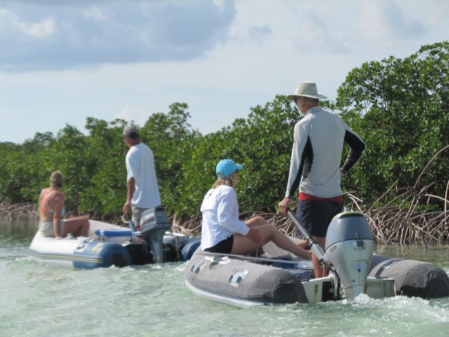
It was low tide, and that should have been a warning to us, especially since we are all experienced sailors. The dinghy engines had to be pulled up and the guys ended up pulling the dinghies and their first mates through the shallows.
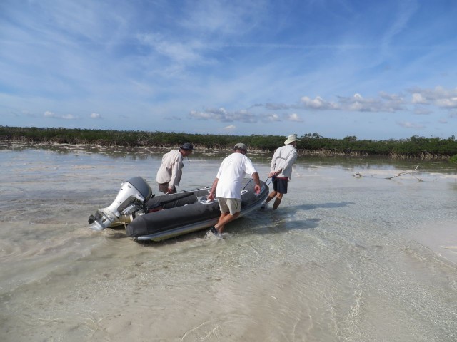
Then shallow water became no water at one point. It took all three skippers to lift and carry each dinghy over the sandy water or watery sand? Take your pick. And these dinghies are heavy!
The depths improved for a short stretch, and then we were once again in the shallows, unable to use the engines. The first mates assisted this time; Pushing and pulling those dinghies through the mucky, sucky sand in ankle deep water. It was downright creepy as our feet would get sucked into what felt like quicksand. My Keen sandal was sucked right off of my foot! John stuck his hand (actually his whole arm) in to retrieve it.
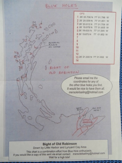
The agony of the pushing, pulling, and dragging the dinghies was soon forgotten (well, almost forgotten) when we came to the blue hole. We think this is Blue Hole #5 on that little map.
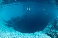
Dean’s Blue Hole is the world’s deepest known blue hole with seawater, plunging 663 feet deep in a bay on Long Island, Bahamas.
A blue hole is an underwater sinkhole or a vertical cave, roughly circular, that can be hundreds of feet deep, sometimes connecting to other blue holes or eventually exiting into the ocean. The name, “blue hole” comes from the dramatic contrast of the dark blue deeper waters and the shallow waters that surround them. Blue holes formed during past ice ages when sea level was lower. The carbon dioxide in the rain caused chemical weathering and eroded the limestone bedrock. Once the area was submerged at the end of the ice age, the erosion ended.
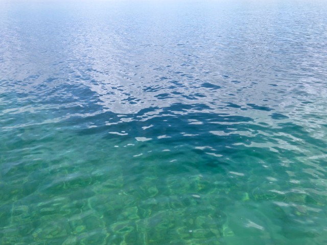
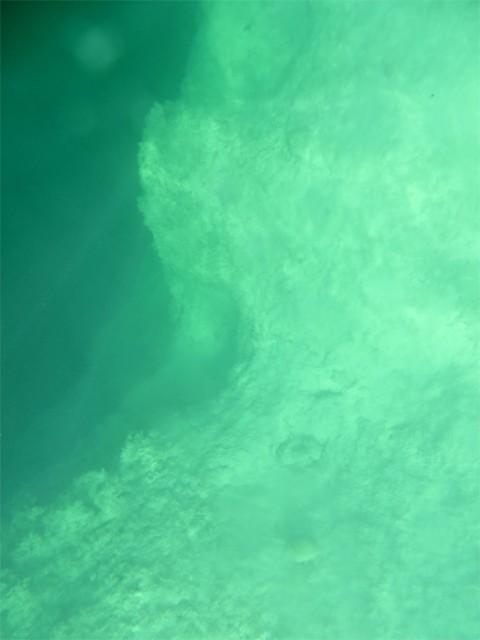
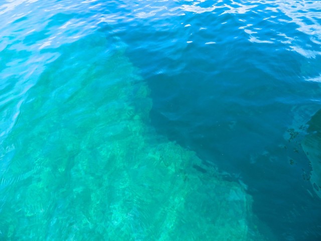
We snorkeled around the perimeter and saw fish and many, many turtles! As we neared the edge of the blue hole, the water was decidedly colder. I tried to take some photos from the dinghy. They aren’t as good as the professional one of Dean’s Hole, but here they are —
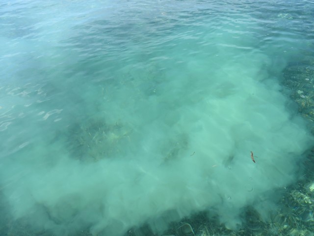
During our adventure trek around the Bight of Old Robinson (when we weren’t dragging our dinghies) we saw lots of sea life without even snorkeling. The water was so clear we could look right off the dinghy. We saw bonefish and flying fish. And a shark, which seems a bit strange to me since the water was not deep at all, maybe 3-6 feet where we spotted him. Once again, no photo (I really can’t go about with the thing glued to my face), but I did take a picture of the “dust” he left behind after taking off.
The sea turtles were everywhere. From our dinghy we would see their heads appear and they would scatter as the dinghy approached. Not like slow land turtles – these guys are fast swimmers! We easily saw 50 turtles in this one day. from boat and when snorkeling. I don’t know exactly what type of sea turtle, probably either hawksbill or green turtle. A photo just wasn’t possible because they are much too fast.
One of our favorite things is to see the bright yellow and orange starfish. It is a thrill no matter how many times it happens.
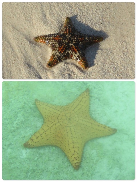
~ Bottom – the larger yellow starfish. This photo was taken from our dinghy.
The slimy and creepy side of sea creatures –

~Lower left – Sea cucumbers are animals, not vegetables. Related to starfish and sea urchin, but certainly not as appealing!! The bodies of sea cucumbers are covered with soft, leathery skin instead of hard spines. They simply look disgusting. When we had to walk our dinghies, we looked downward to be sure we didn’t step on one.
~ Right – Jelly fish
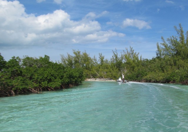
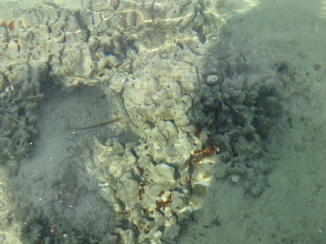
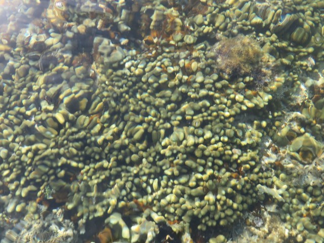
We took a little side trip down a mangrove “sluice” where the current gently takes the dinghy through. Here we were able to see the coral up close without even getting in the water.
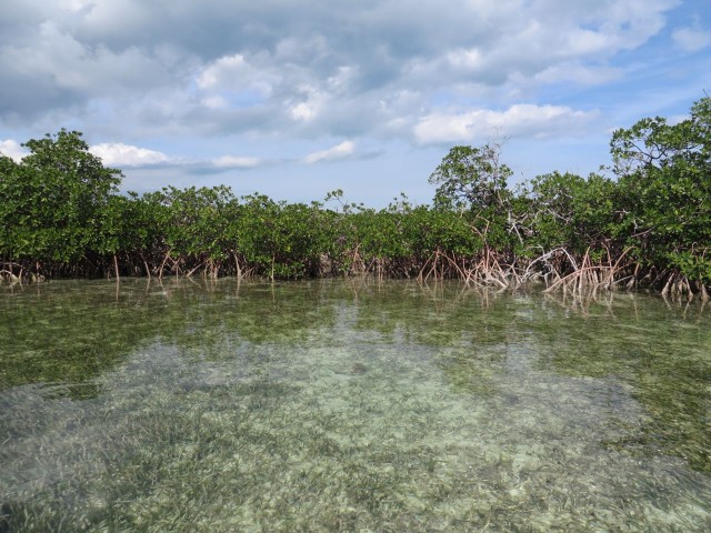
The brief journey through the sluice was slow enough and shallow enough (but not too shallow) to take photos of the coral growth over the side of the dinghy.
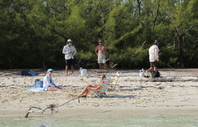
John and Carol shared their favorite little beach with us. We were certainly ready for a rest and lunch (at 3 pm!) on the beach. They went back to their catamaran and got the gas grill so we could cook hot dogs, kielbasa and a fish that John had caught.
The day came to an end and we returned to our big boats for a welcome night’s sleep. It was a really great day!!!



Lisa Richey
What a great description and attraction. Thanks so much for taking the time to capture with words along with your photos! We can’t wait. Probably tomorrow ✨
watsons
Thanks, have a great time!