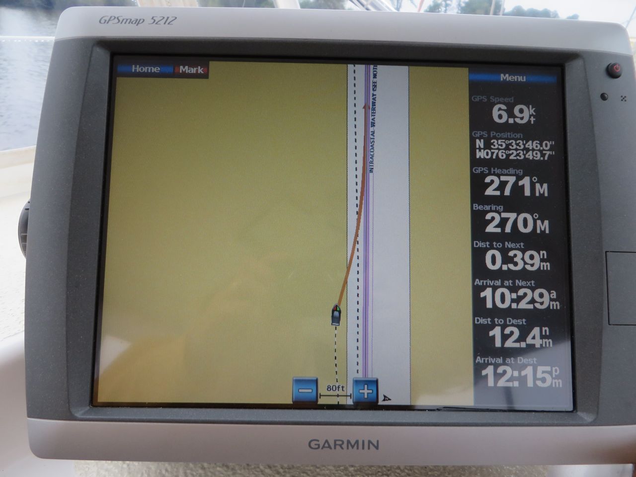
Here we are in the second half of October and only at ICW Mile 61. We spend a lot of time reviewing charts and books (OMG, the books!! Sometimes I feel as though I am back at work pouring over multiple references and resources. Besides the big charts, we have 6 books to review, plus the internet. Why couldn’t it all be in one place??) We had not been moving quickly because our boat insurance had a restriction that we not be farther south than Cape Hatteras before November 1st. We called them and asked for a waiver which was ok’d. November is less than 2 weeks away and there seems to be no major tropical storms on the horizon. I sure hope I did not jinx that by writing it in this blog.
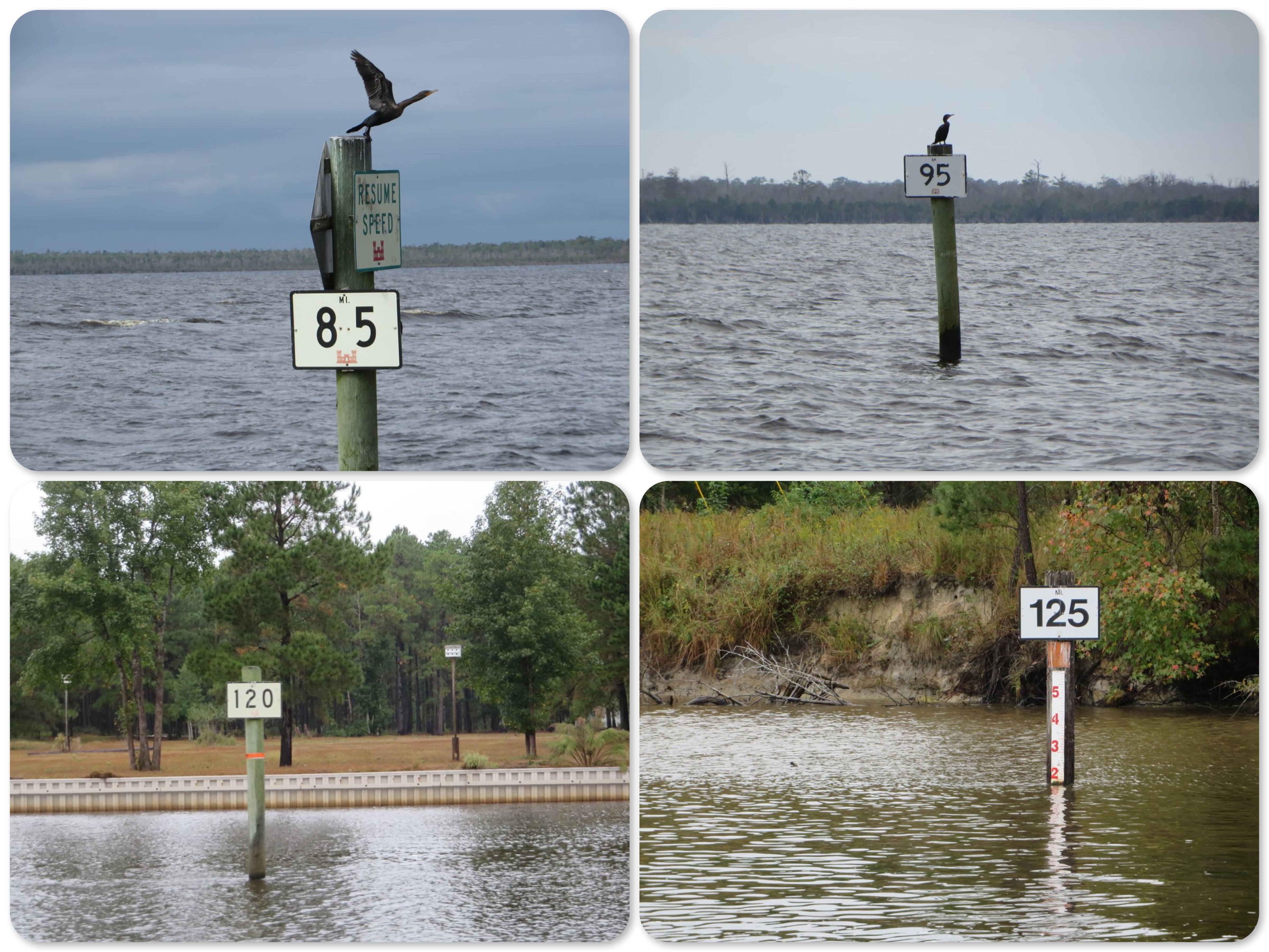
It was really hard to leave Magnolia in Broad Creek, but we decided to start traveling again. Over the past two days, we have traversed the North River, Albemarle Sound, Alligator River, Little Alligator River, the Alligator River/Pungo Canal, the Pungo River, and Pantego Creek and covered 68 nautical miles. That’s equivalent to about 78 statue miles. Statute miles are used along the ICW, so all of the mile markers on charts and posted along the waterway are in statute miles, not nautical miles. While sailing, we are accustomed to calculating and estimating with nautical miles (1/60th of a degree or one minute of longitude) and knots for speed. Nautical miles are longer than statute miles – roughly 7 nautical miles equals 8 statue miles. Too much math? OK, let’s just say we are doubling checking our estimates for distance and time.
We were treated to a beautiful sunrise in Broad Creek.


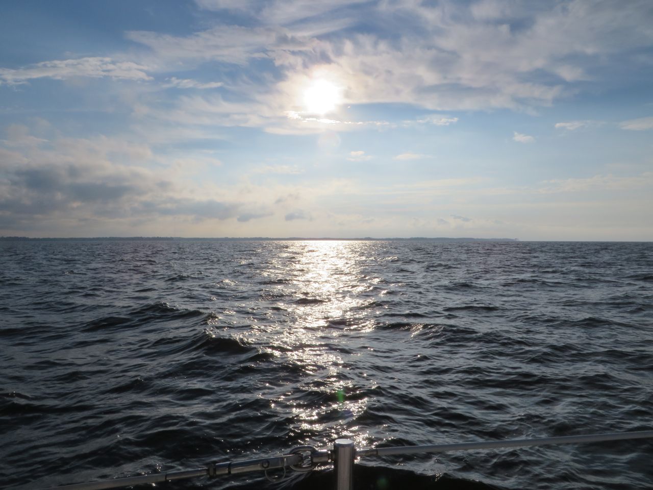
All of our resources gave warnings about about Albemarle sound – be careful of the waves and chop. Our trip across the 15 miles was very uneventful. We were able to put the jib out to assist the engine.

The very best part of the day was the sight of this huge rainbow (yes that means the weather did not remain sunny. There were showers off to the west and north.


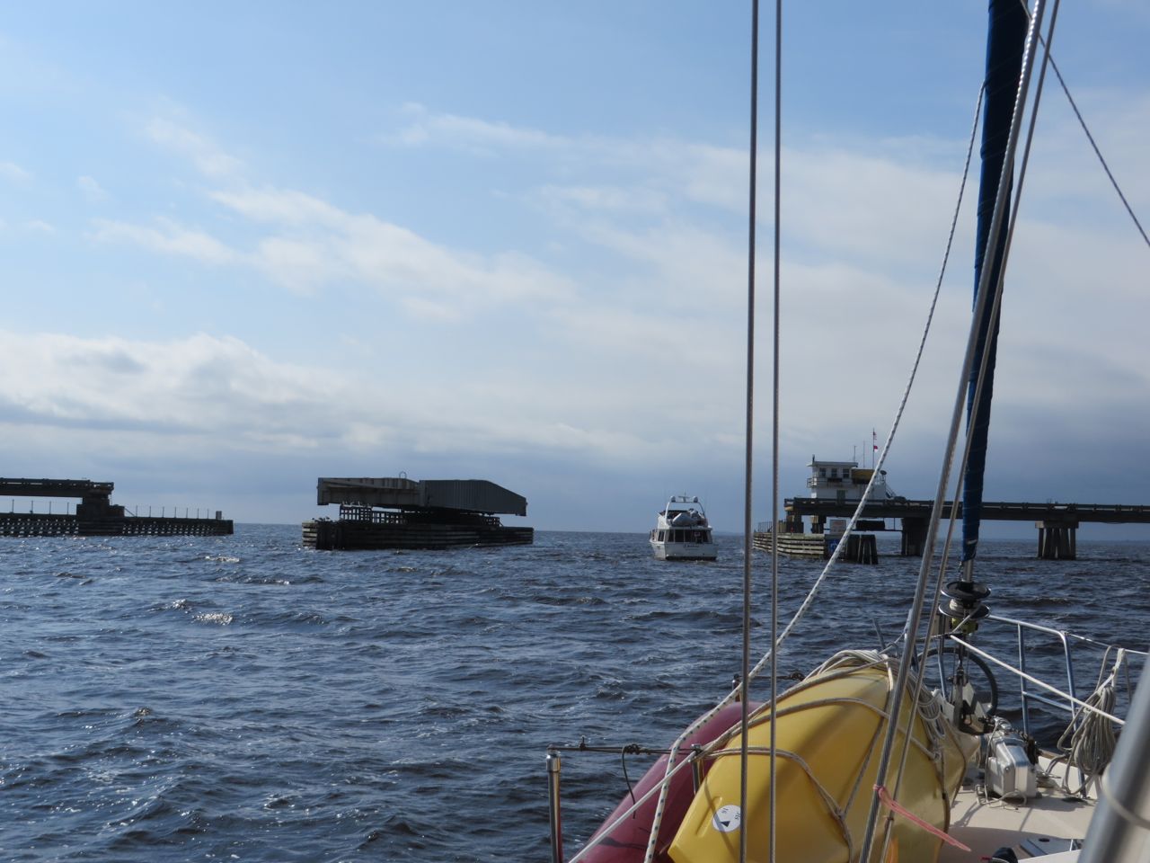
After Albemarle Sound came Alligator River. We did not see any alligators, but there was a swing bridge that opened upon request. Yes, you only had to ask and not wait for the hour or half hour. I wonder if that will ever happen again??
The Alligator River turns into the Little Alligator River, but there is no place to anchor or stop between here and after the Alligator River-Pungo River Canal, so we dropped the anchor off to the side of the ICW at Deep Point anchorage for the night.
It rained again during the night and we awoke on Saturday (OCt 19th) to a damp, drizzly, dismal, dreary morning. The Alligator River-Pungo River Canal connects the two rivers in a VERY straight (manmade) line. It is the longest ICW canal at 22 miles.
Boats are warned to keep a sharp lookout for submerged snags, deadheads, stumps, logs, and assorted debris in the water. Boaters help each other over the VHF radio by informing others traveling behind when something is spotted. I had the “opportunity” to spot one first and inform other boats behind us to beware.
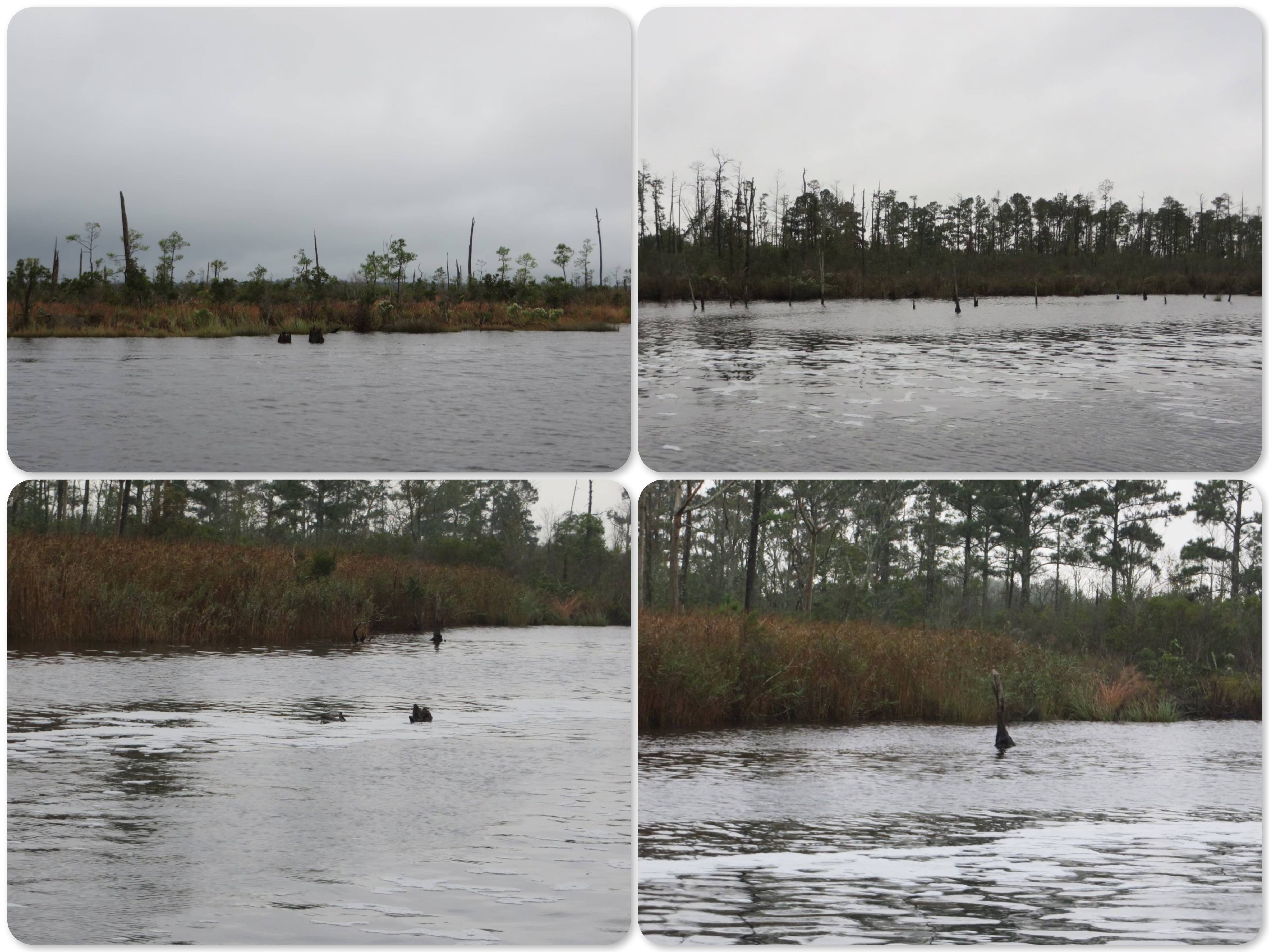
Some of the debris is caused by waves and wakes from boats that erode the shoreline. The roots of trees near the edge are eventually exposed, weakening the trees so that they eventually topple over into the water.


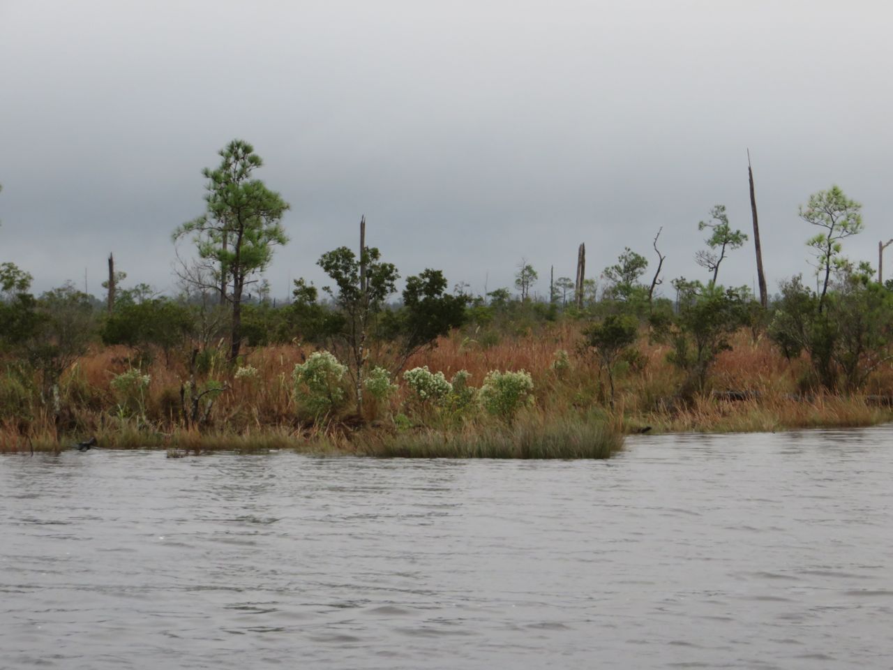
There were some pretty sights along the way, even though the grayness subdued any much of the potential colors —

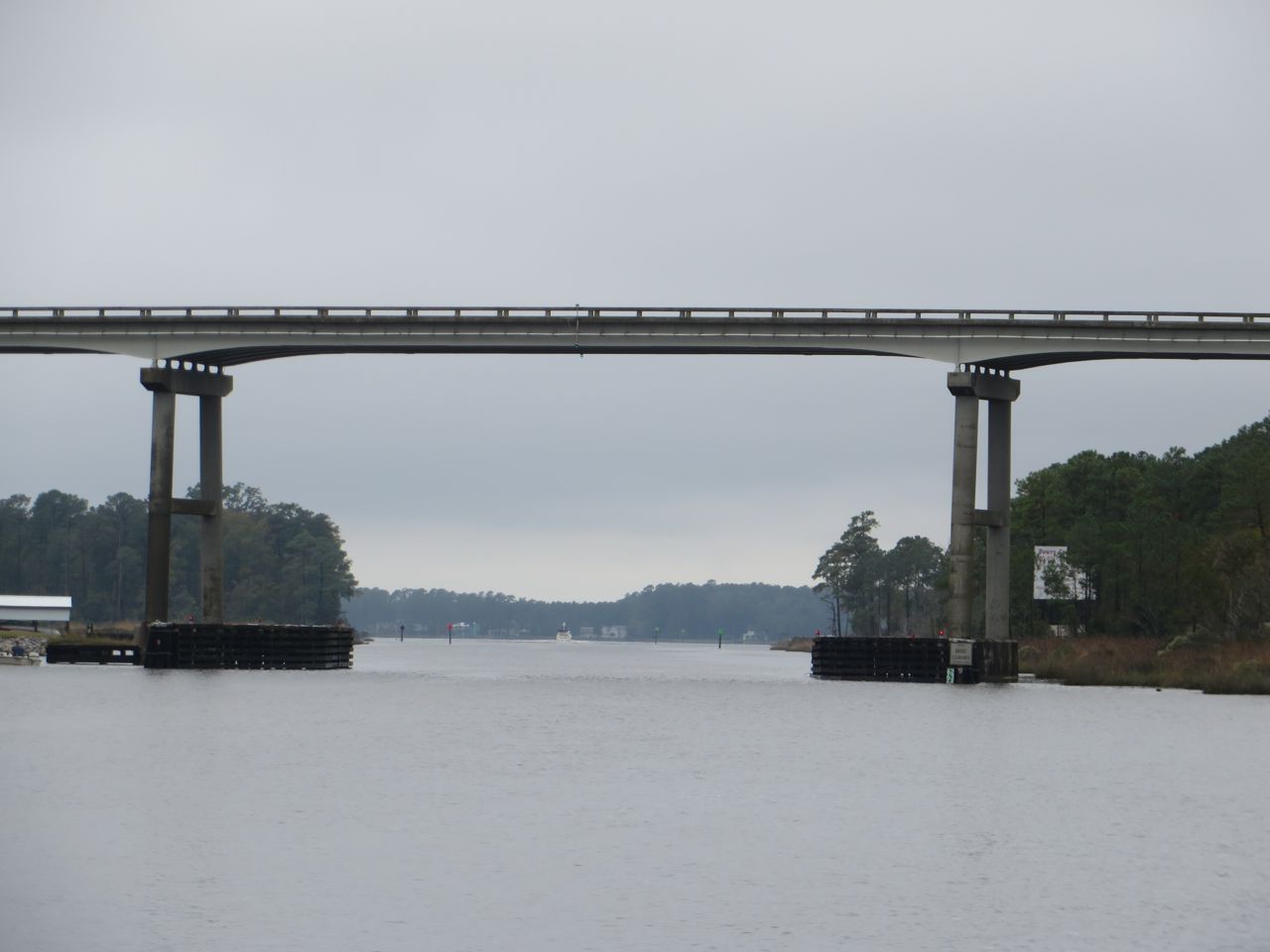
And then we came upon another bridge, the Wilkerson Bridge. Every single chart and book warns boaters that this bridge is not at the official 65 foot height for fixed bridges. It is notoriously 1-2 feet lower. I hold my breath every time we go under one of these 65ers, but especially for this one.

We arrived at Bellhaven, a good place to stop for the day. From the descriptions in the guides, it sounded as though Bellhaven is focusing on attracting boaters and building a reputation as a hospitable place to stop. Several sources mentioned the free guest dock for an overnight tie-up, complete with water, electric, and a pump-out. We followed the chart, found it, and tied up.

Ahhh, but, it is no longer free after 2 hours. That only lasted for the first year. OK. We decided to explore the town for those two hours and then move over tot he anchorage area. After three and a half days, we needed to set our feet onto land!
There is a terrific hardware store with hardware-type things and lots of decorative items, cards, gifts, and more. Both of us found something we needed. We wandered about the town, in the drizzle, looking for a place to have a bite to eat. While standing on the sidewalk, a young woman stopped and asked if she could help us in anyway. She named several possible eateries. Then she shyly said, “This one right here, Spoon River, has a nice menu, too, but I am the owner and didn’t want to mention it first.” We decided to try it, and are so glad we did! If you come to Bellhaven, Spoon River is a must. Great decor, very friendly server, and a delicious, reasonably priced lunch.
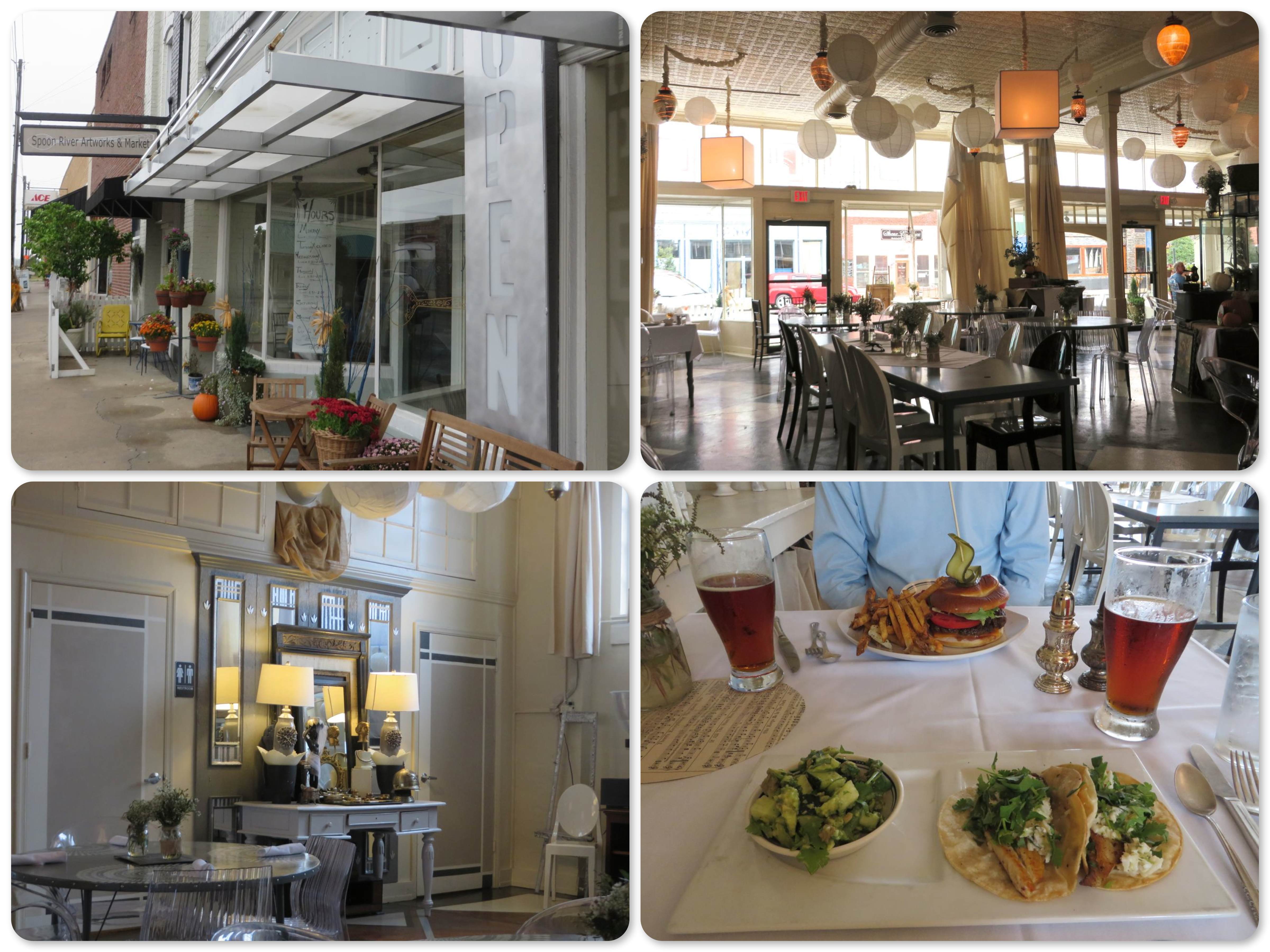
~ exterior and interior
~Al’s Angus burger with real french fries and my fish taco with avocado/cucumber salad
I am very hopeful that I will soon have sunny pictures to share, maybe even a beach?
Jim Ingalls
You may have rain but, SNOW is predicted in the NW part of the state. Be warm!