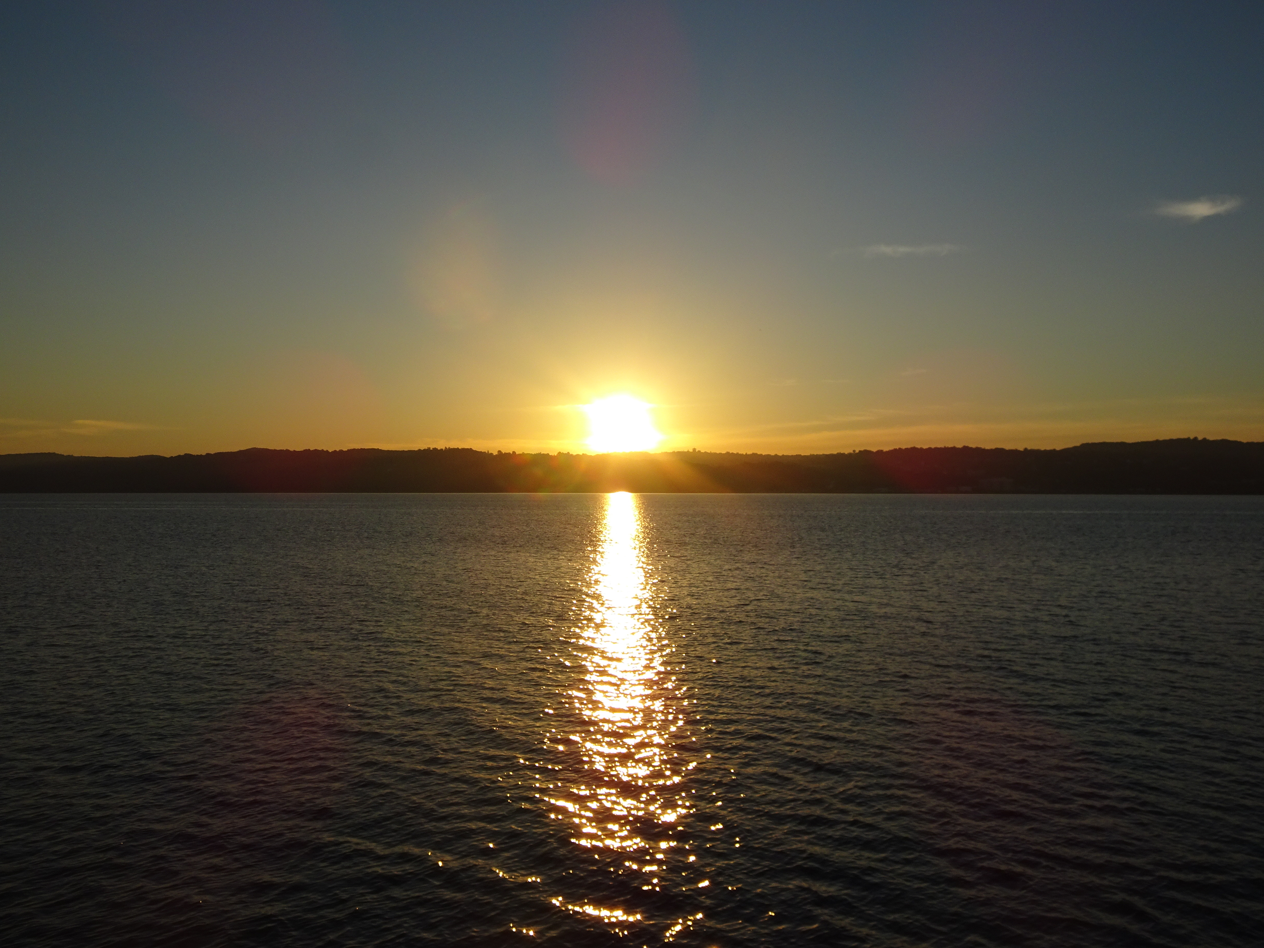
Sunday’s plan was ambitious, we would leave Croton at dawn around 5:15 am and go all the way south around Manhattan and then up the East River to Port Washington, 53 miles. By leaving that early we would have a favorable current with us the entire trip. And it turned out to be an interesting ride.


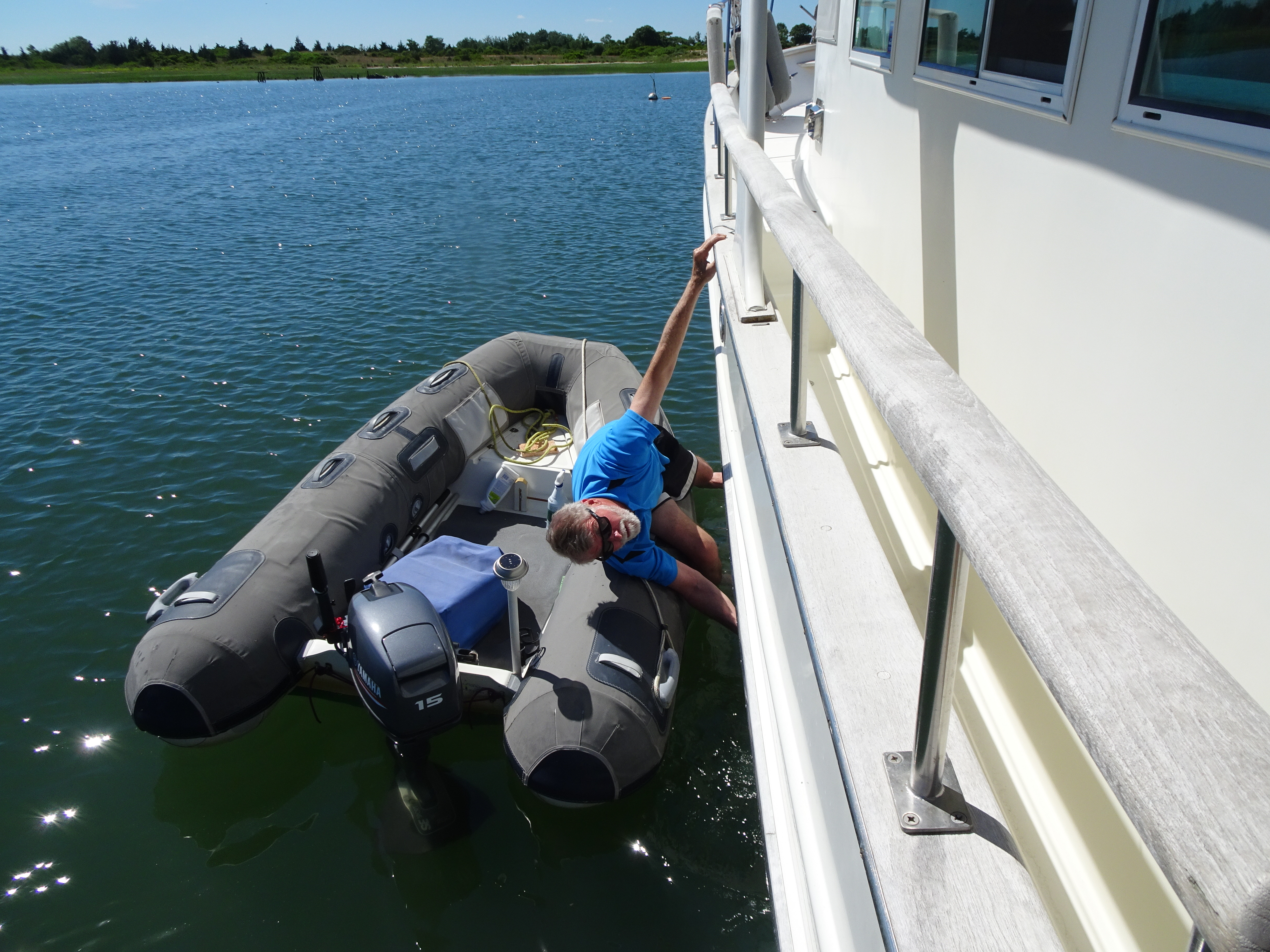
At 7:00 am on a very quiet Hudson River, we saw a small white dinghy drifting ahead of us. As I took Kindred Spirit over to it, Al went down to check it out. Our first concern was that someone might be in trouble and need assistance. No one was in the boat. Could someone have fallen over board? Al hopped in the dinghy to check for information – nada. His inspection of this Walker Bay dinghy led to the conclusion that it had broken loose from somewhere – the shackle on the bow was broken.

After securing it to Kindred Spirit, Al put out a call on the VHF radio, but received no response. Later he looked up the Walker Bay website and contacted them by email and phone call with the registration number he found on the hull in case the owner had registered it for the warranty.

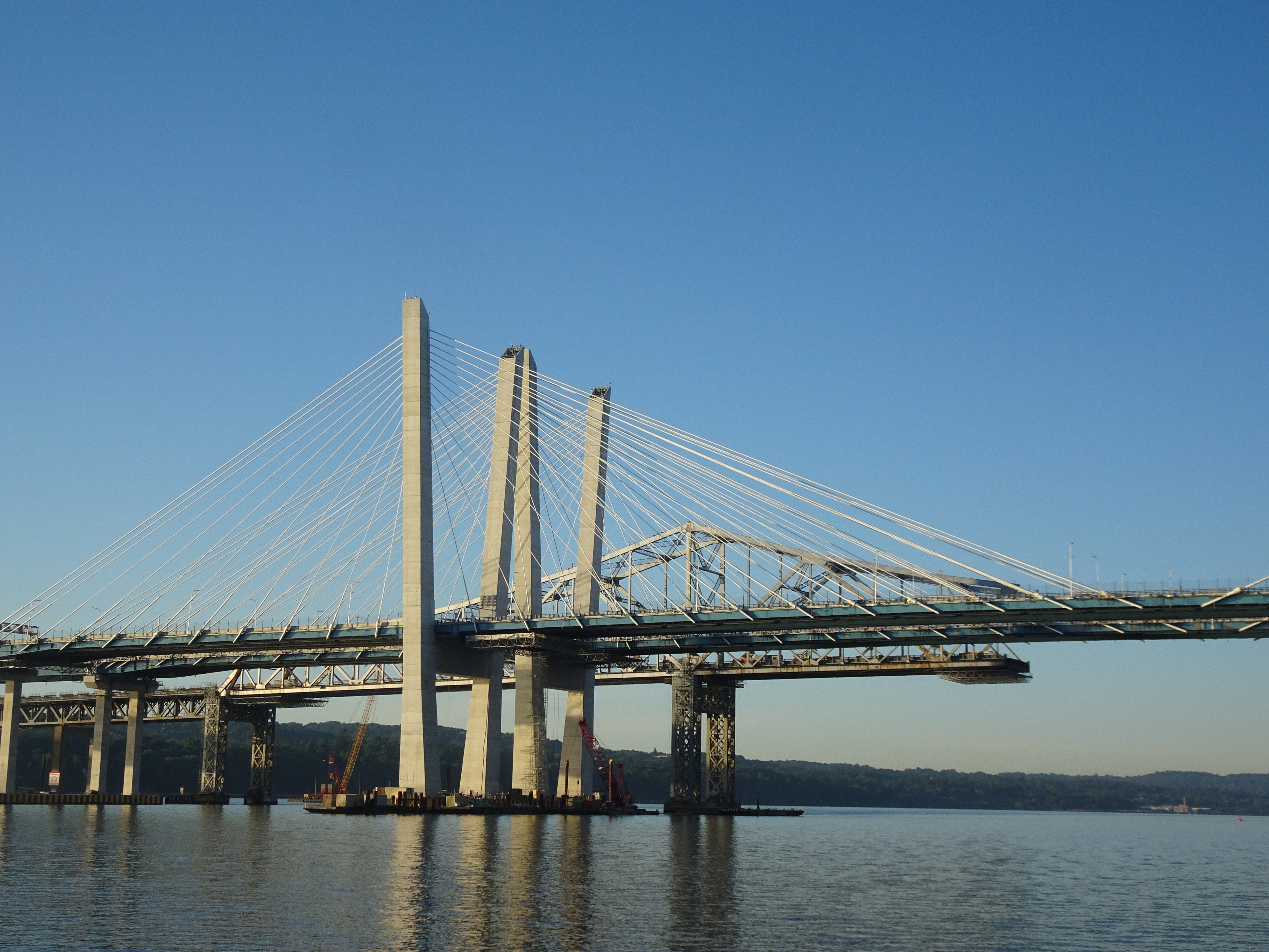
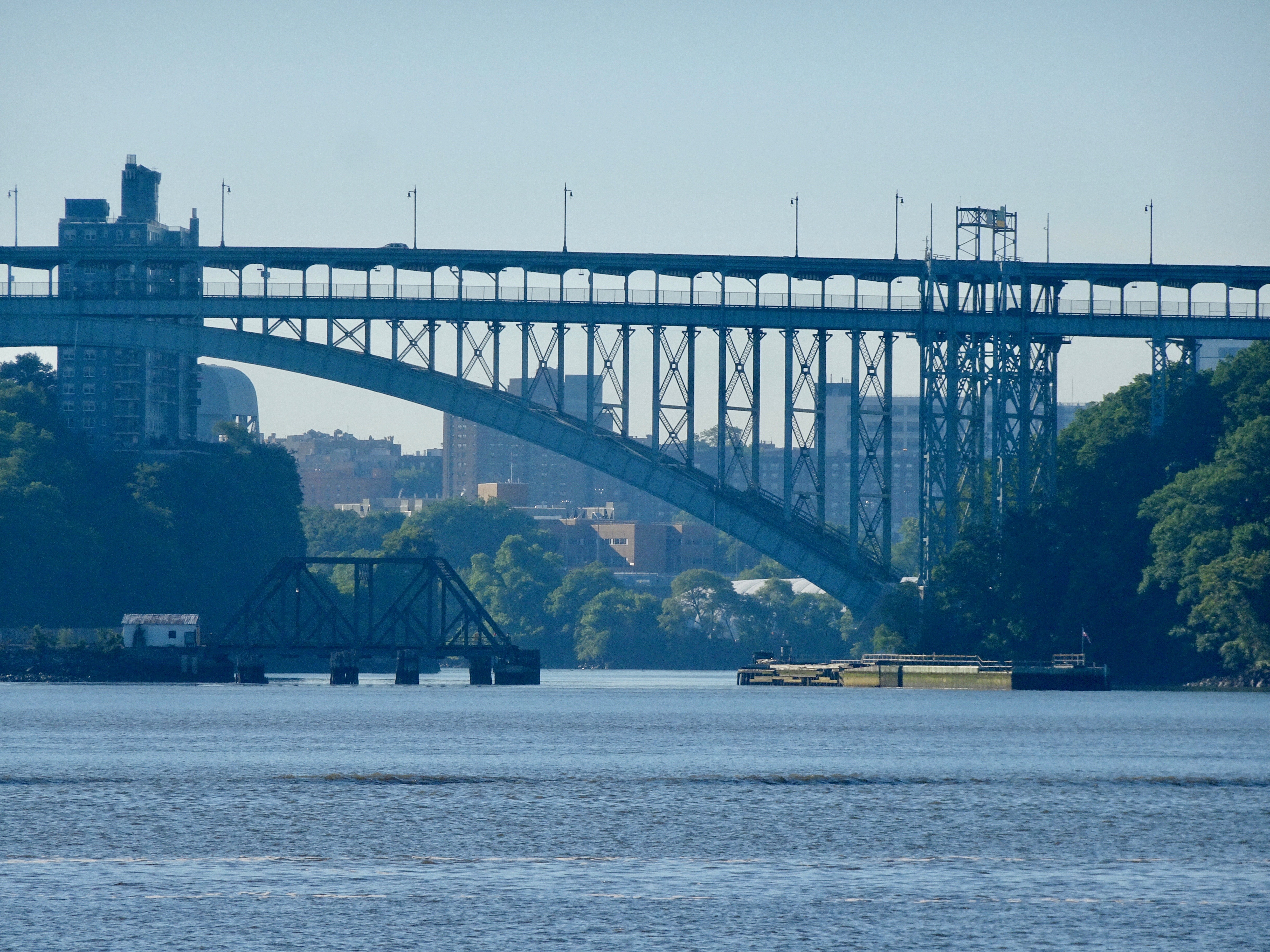
Manhattan is an island, right? When we first discussed making this trip to the Hudson River, we briefly considered finding the northern passage that must go above Manhattan since it is an island. That waterway is the Harlem River. All accounts indicated that this was not a good idea for cruising boats. There are height issues if you cannot clear 24 feet and some claim it is simply not navigable.
Going north we hadn’t noticed where the Harlem River enters the Hudson, but this morning we spotted it.


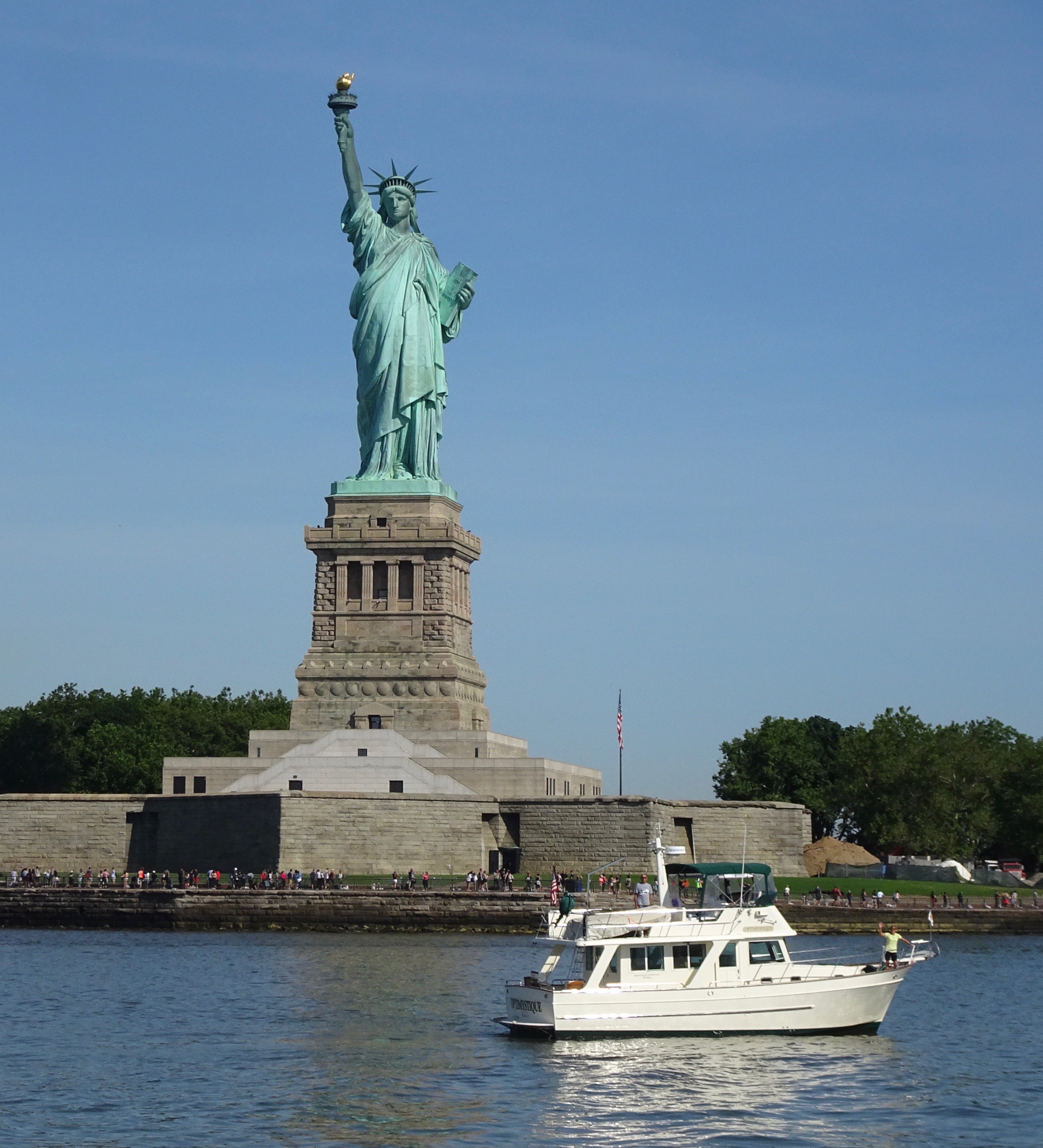
We had a dual purpose for our morning traverse through New York on that morning. Another Mariner Orient (40, not 38 like us) was traveling from Florida northward to do the “Great Loop.” We had met Jan and Dave on Optimystique in Bradenton, FL when we were visiting the Bakers on Magnolia. Sailors and now “trawler-ers”, Jan and Dave have a terrific blog called Commuter Cruiser. Facebook and AIS told us they would be heading north up the Hudson as we were going south that day. One thing led to another and we made plans to take photos of Optimystique in front of the Statue of Liberty. This is becoming a habit for us! Everything went as planned and at 9:30 am we were both there.


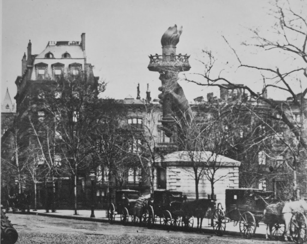
Here’s another bit of trivia that I found fascinating. That book I was reading, Time and Again, also mentioned the Statue of Liberty. For 6 years (1876-1882) the statue’s arm and torch sat in Madison Square Park to raise money for the rest of the Statue. Who knew?? I found an old photo on “The Bowery Boys.”
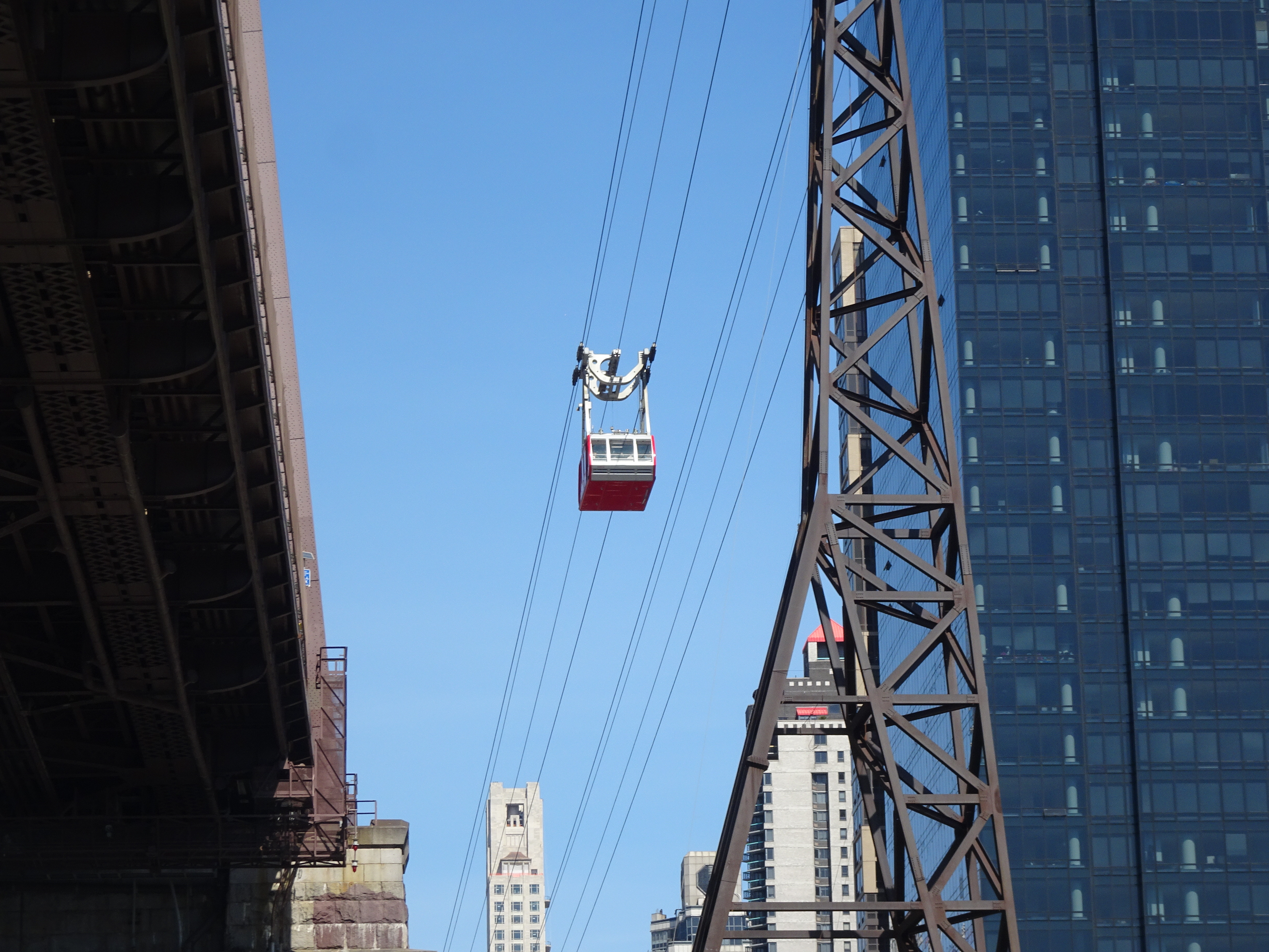
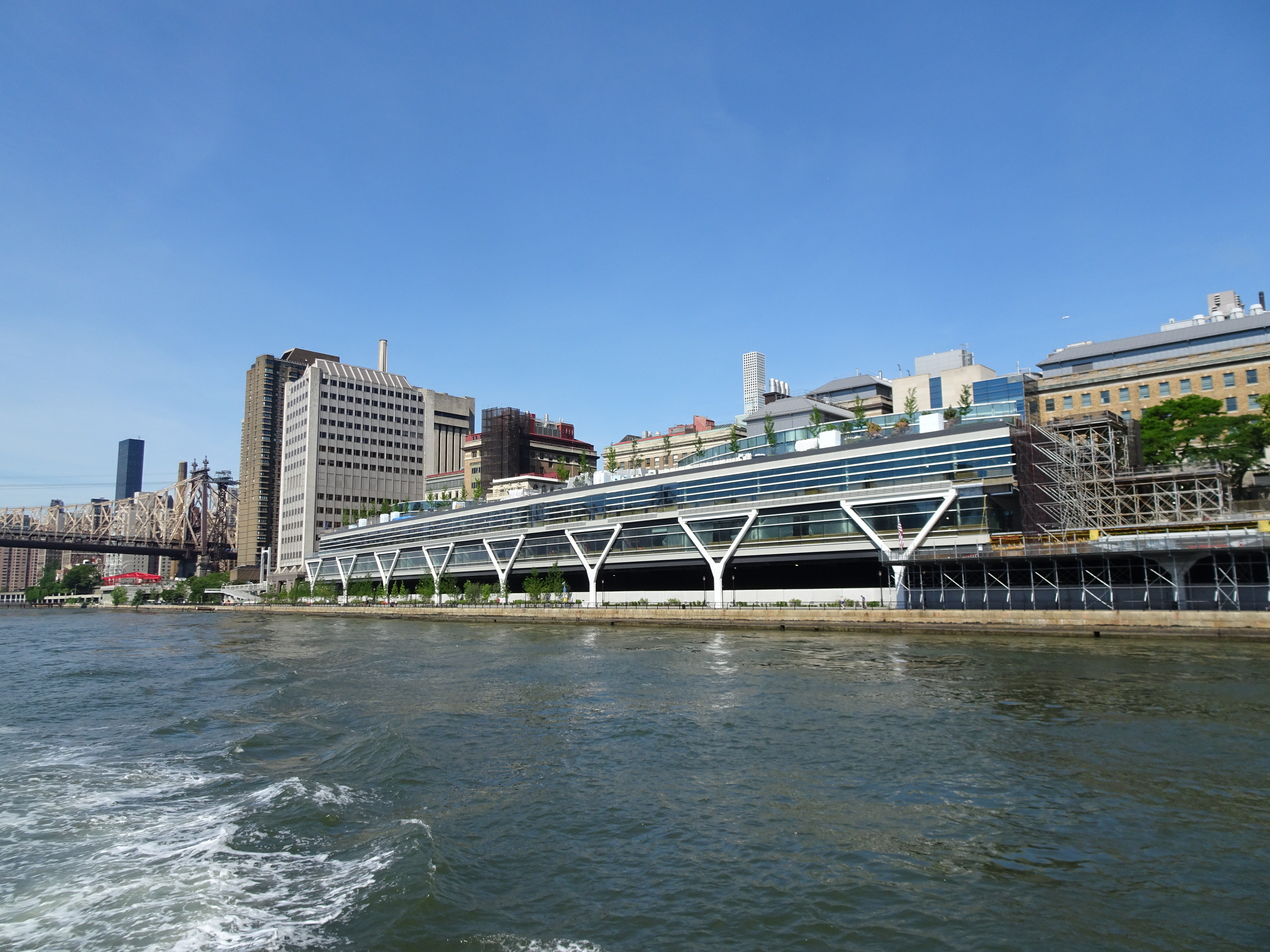
I had the helm from the Statue of Liberty all the way up the East River, through Hell Gate and Throgs Neck Bridge. My first time!


We settled ourselves on a mooring in Port Washington after our 6 hours down and up both sides of Manhattan. After a brief respite, we dinghied to town for a repeat visit to Douglas and James Homemade Ice Cream to cool off, and yes, to enjoy the ice cream (no photos this time!)
On our dinghy ride, we passed a very familiar looking boat, Navigator, previously owned by friends of ours from Maine that we met int eh Bahamas in 2013, Laurie and Peter. In fact, it was Navigator that led us to search for a “Europa-style” trawler.


After a day relaxing and trying to stay cool, our next leg took us from Port Washington to Port Jefferson, 35 miles to the east.
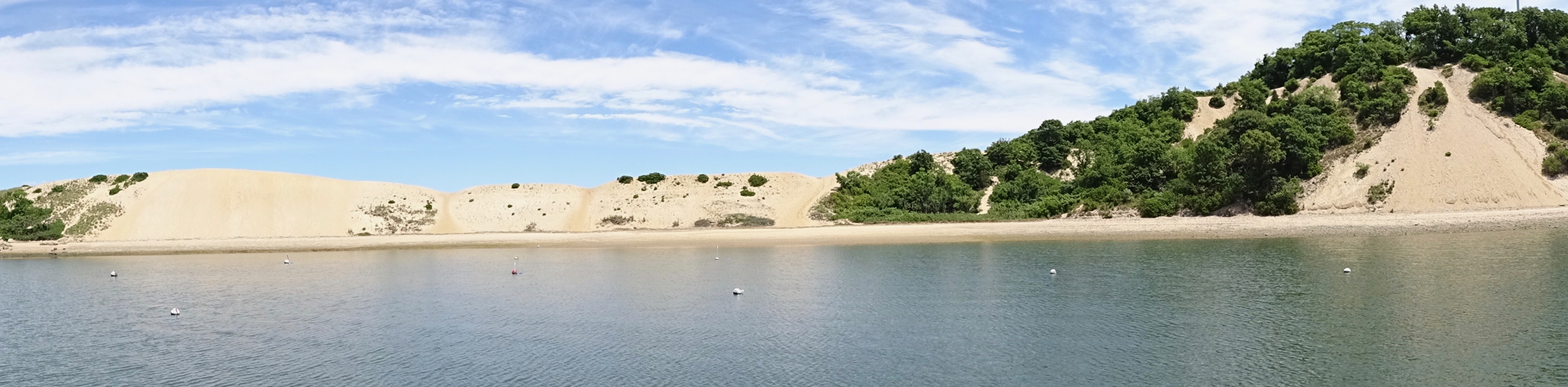
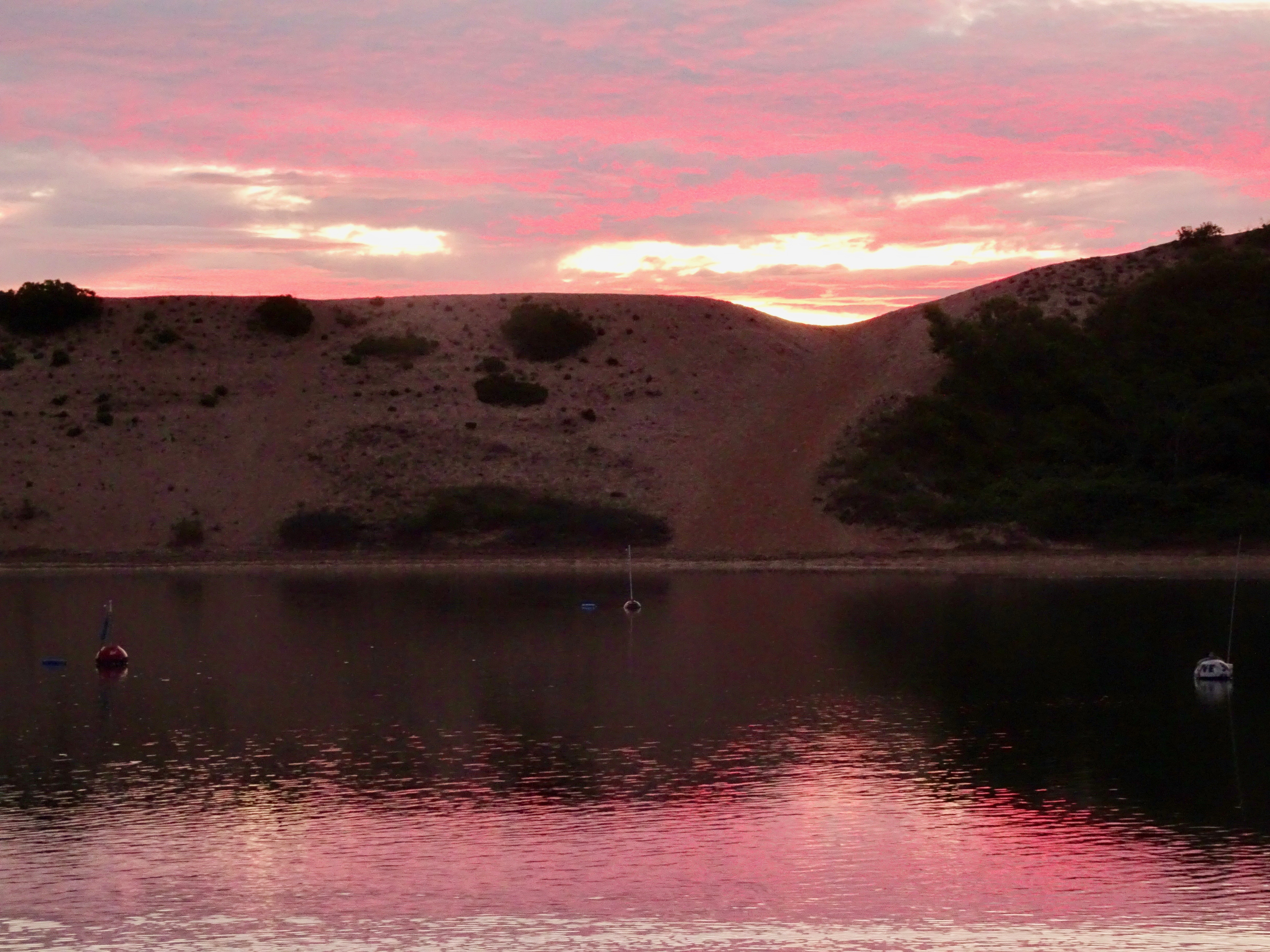
In the past, we enter the channel and hang a right, but Al wanted to spend the day in “The Sand Pit” to the left, ready to relive his childhood boating memories.


Al had his own fitness program – rowing around the Sand Pit in the Walker Bay, revisiting childhood memories.


Port Jefferson’s Mount Misery was anything but misery and, as our last stop on the trip, it was a restful, relaxing day in perfect weather.
Another 53 miles would bring us home. Once again we decided on an early start to get a good push from the current.


Leave a Reply